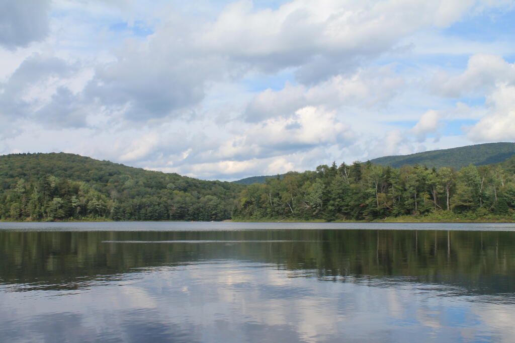
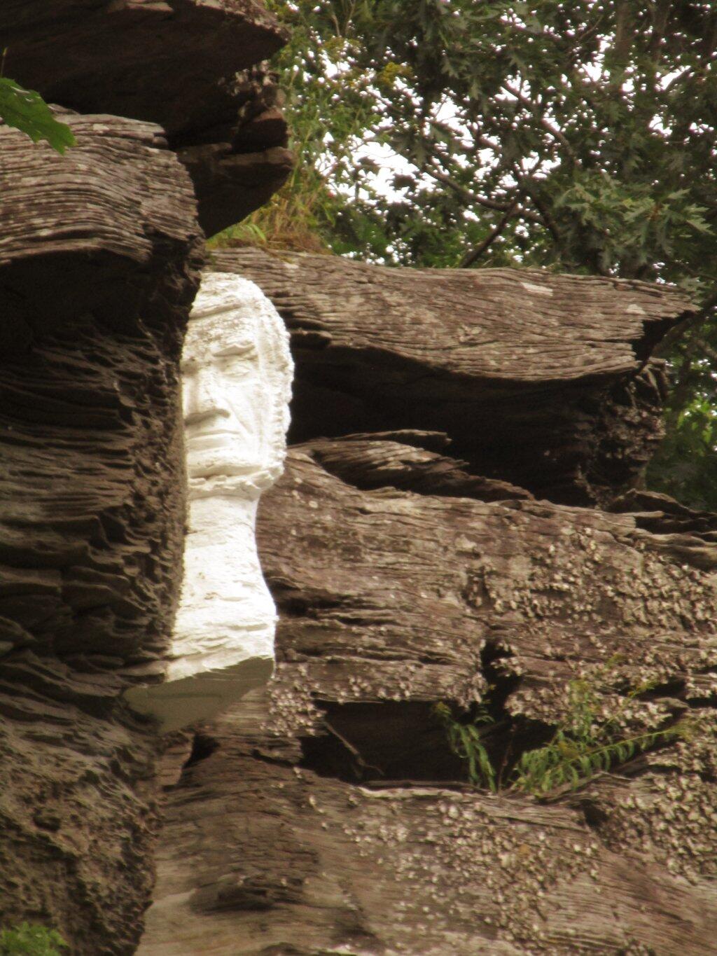
Mr. Pratt Keeps A Watchful Eye | July 30, 2026 Saturday August 10, 2019 — Notes — Alma Pond 🗺 — Dobbins Memorial State Forest 🗺 — Little John Wildlife Management Area 🗺 — Otter Lake 🗺 — South Hill State Forest (Oneida 23) 🗺 — Summer Hill State Forest 🗺 — West Parishville State Forest 🗺— PDF with All Maps 📚
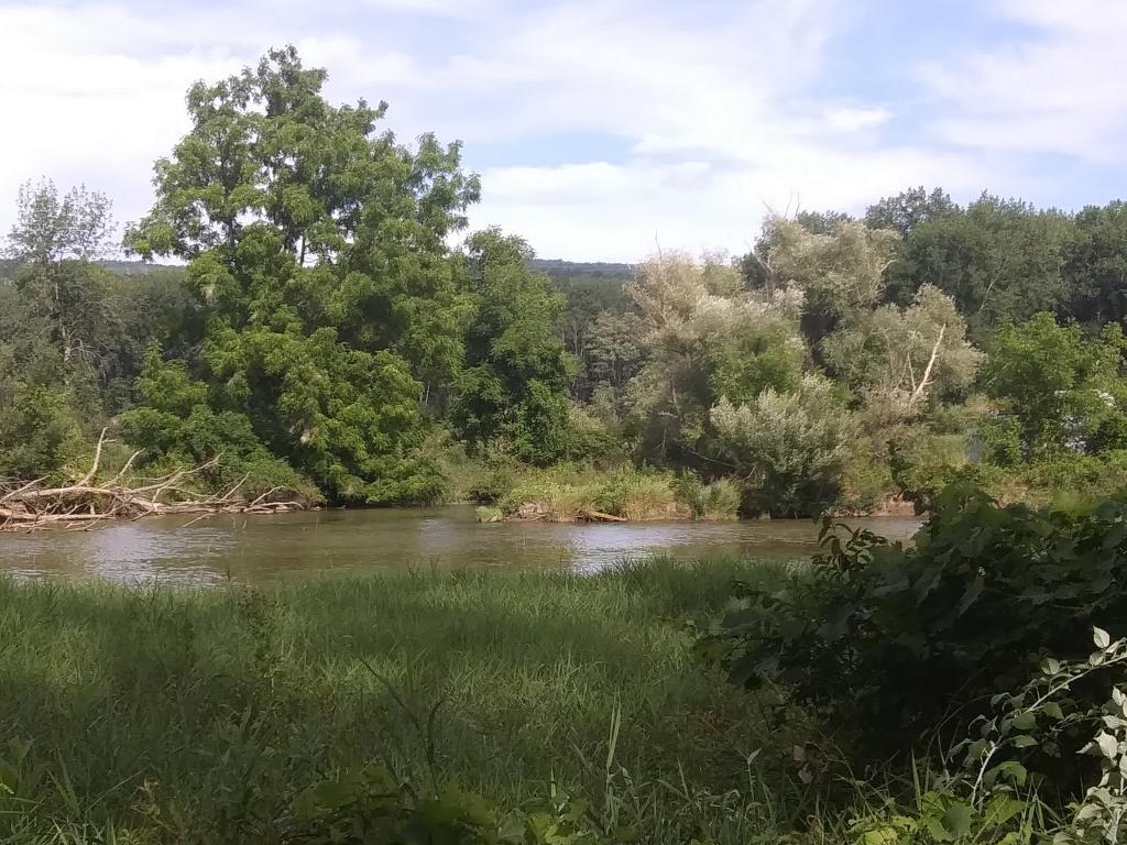
Barge Canal Andy | July 30, 2026 Wednesday August 12, 2020 — Catharine Creek WMA — Cathrine Creek Marsh 🗺