Burnt-Rossman State Forest 📍

Burnt-Rossman Hills State Forest, spanning an impressive 10,588 acres, proudly holds the distinction of being Schoharie County’s largest state forest. This natural haven has garnered immense popularity among enthusiasts of outdoor pursuits such as hiking, camping, and various recreational activities.

Traversing a segment of this expansive landscape is the Long Path, a trail adorned with aqua blazes, stretching over 350 miles. Within this forest, the Eminence Lean To stands as a notable point of interest along the Long Path, positioned roughly 0.5 miles to the east of Old Cemetery Road. A crossing of Old Cemetery Road can be spotted just to the south of an ancient burial ground.

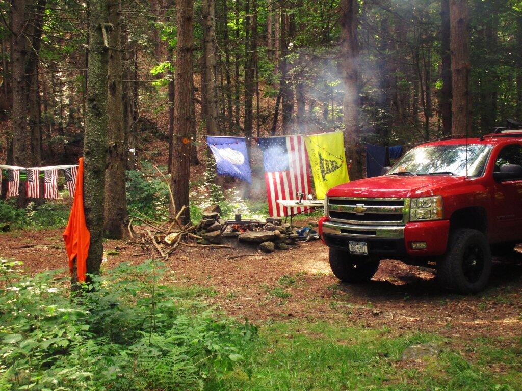
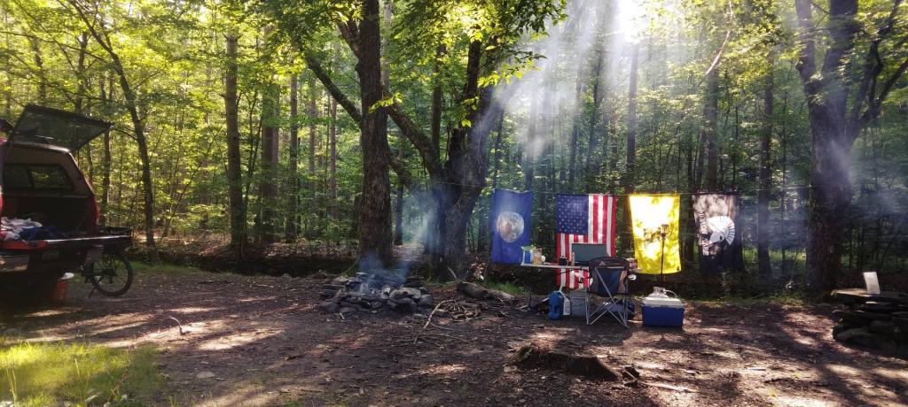
Among the captivating features of the forest are the campsites discreetly nestled along Betty Brook Road, as well as the inviting spots found at Duck Pond, situated along Burnt Hill Road.

For those with a penchant for angling and boating, Looking Glass Pond, located along Rossman Hill Road, offers an inviting prospect. This charming pond not only facilitates fishing and boating but also boasts well-maintained fishing platforms courtesy of the Fulton Fish and Game Club.

🗺️ Maps 🖼️ Photos 📽️ Videos

More on the History of Burnt-Rossman Hills State Forest

The history of Burnt-Rossman Hills State Forest is a classic American tale of environmental redemption. Spanning over 10,500 acres in Schoharie County, it is the largest state forest in the region—a vast state forest that belies a turbulent past of industrial exploitation, systemic wildfires, and ultimate restoration through Depression-era conservation.

In the 18th and 19th centuries, the landscape looked nothing like the dense woodland seen today. Under the Dutch-inspired “Patroon” system, tenant farmers worked the land without owning it. This lack of ownership fostered an extractive mindset; settlers cleared massive swaths of timber for sawmills, shingle factories, and tool manufacturing. By the late 1800s, the hills were stripped bare, and the thin, rocky soil was exhausted by unsustainable farming.

The forest’s unique name serves as a linguistic map of its geography and scars. “Rossman Hill” refers to one of the area’s primary peaks, but the “Burnt” in Burnt Hill tells a more visceral story. In the early 1900s, the area was frequently scorched by wildfires. Many of these were intentionally set by locals to encourage the growth of huckleberries—a lucrative crop that thrived in charred soil—earning one section of the forest the moniker “Huckleberry Kingdom.”
The turning point for Burnt-Rossman Hills came with the collapse of the local agricultural economy.

Following the Great Depression and the 1931 State Reforestation Law, New York began purchasing abandoned farmsteads for as little as $4.00 per acre. In 1934, the Civilian Conservation Corps (CCC) established a camp at Boucks Falls, located in the Town of Fulton. This “Tree Army” transformed the barren landscape, planting over 6 million tree seedlings across the broader Eminence Management Unit. They also engineered the infrastructure that remains the forest’s backbone today, including the CCC Road and various fire breaks.

In 1961, the Summit Shock Incarceration Camp (originally the Summit Youth Camp) was established nearby in the Town of Summit. Until its closure in 2011, Summit Shock inmates played a vital role in maintaining the forest’s health, performing tasks such as road maintenance, trail construction, and additional tree planting.

Today, hikers on the Long Path can still find the stone foundations of 19th-century water-powered sawmills in Doney Hollow or the weathered headstones at the Old Cemetery Road burial ground. These ruins, alongside the enduring infrastructure built by the CCC and the later contributions of Summit Shock, serve as quiet reminders that the towering pines of Burnt-Rossman Hills are not just a natural feature, but a carefully cultivated legacy of recovery.

Thematic Map: Bryon Brown vs India Walton - Buffalo Mayor General 2021
SVGZ Graphic: Control of State Government - By Percentage of US Population
Map: Neversink River Unique Area
Map: Green Mountain National Forest North
Thematic Map: Charles Flood Empire Brickyards WMA Ortho [Expires May 25 2026]
Map: Canadaway Creek Wildlife Management Area
Map: Shelving Rock Road and Dacy Clearing Road
Map: Frank E. Jadwin State Forest