Hills fading

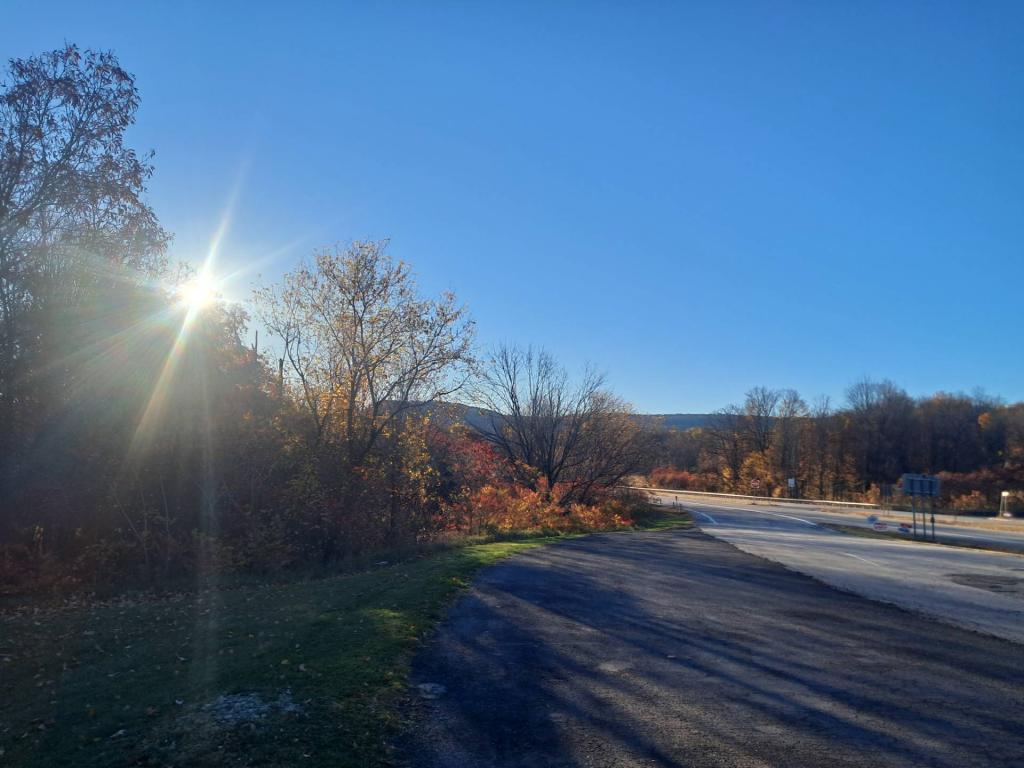


Have you ever wondered why the Great Western Turnpike goes so far south, away from the Mohawk Valley and the major cities - and over several hills which have posed troubles for everything from horse and buggies to Volkswagen Bugs?
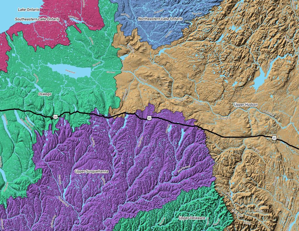
It turns out when they were constructing the Great Western Turnpike a major concern was bridging stream crossings, and a way to avoid crossing many streams was to follow the divide between the Susquehanna Watershed and the Mohawk Watershed.
While the Great Western Turnpike crosses the Schoharie Creek, it does where it's more shalow upstream, and until you reach the Finger Lakes, most of the stream crossings are minor to non-existent as it's riding the divide between the watersheds.