Hawks Nest LiDAR
Looking at the terrain that makes up Hawk Nest in this LiDAR hillshade.
Looking at the terrain that makes up Hawk Nest in this LiDAR hillshade.

Back in the simpler days when I had the little Ford Ranger truck.
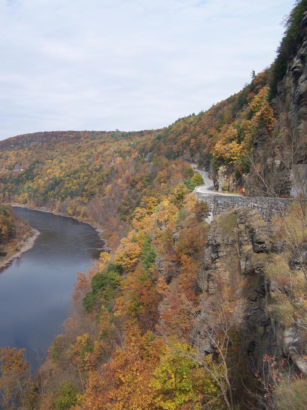
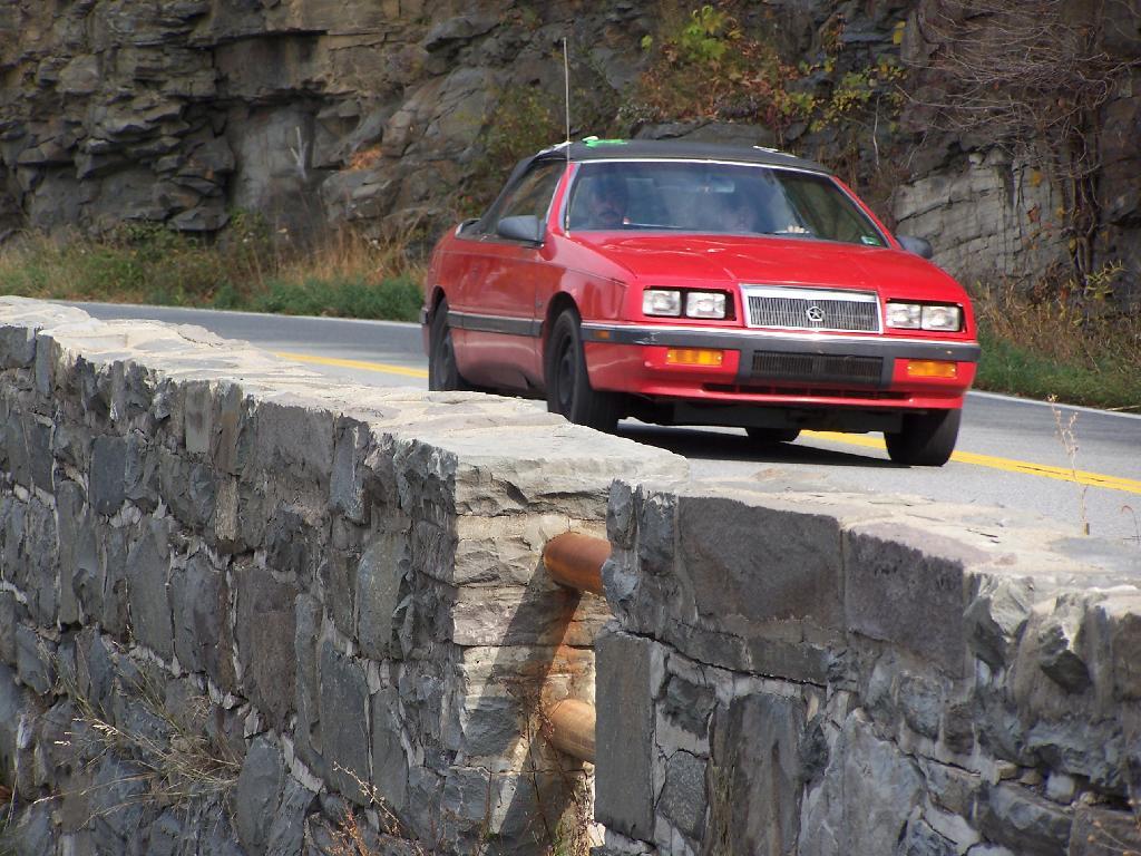
Wednesday October 21, 2009 — Hawk's Nest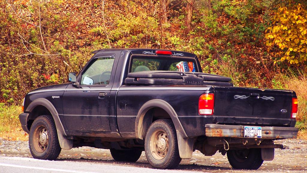


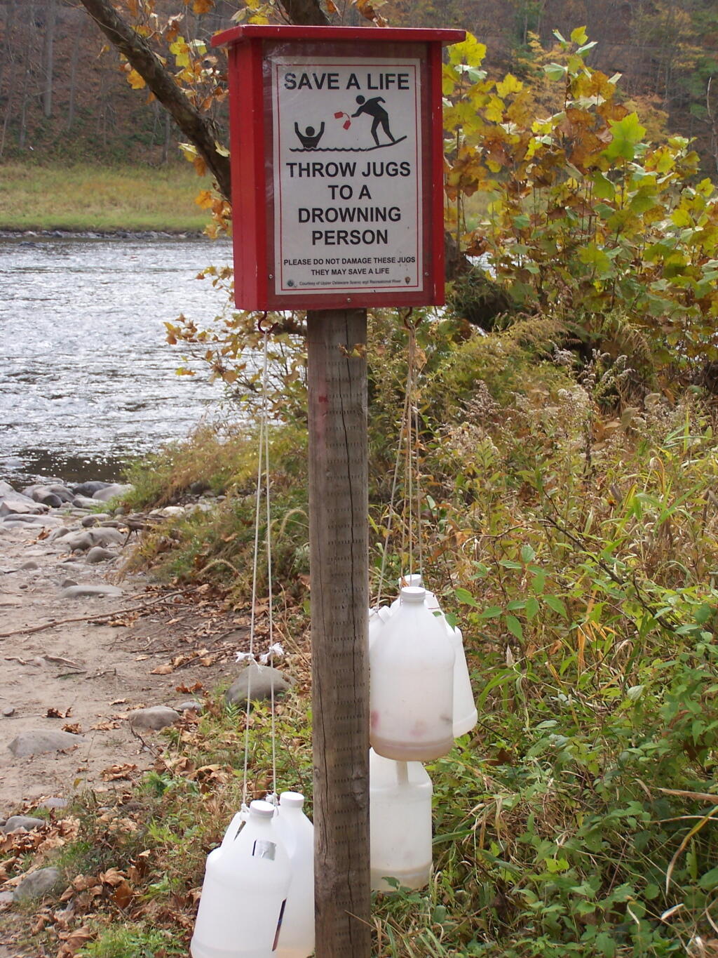
Made out of windshield washer fluid jugs, I can't imagine these are super-effective, but I guess in an emergency they are better then having nothing to rescue someone caught in the rapids of the Delaware River.
Wednesday October 21, 2009 — Hawk's Nest