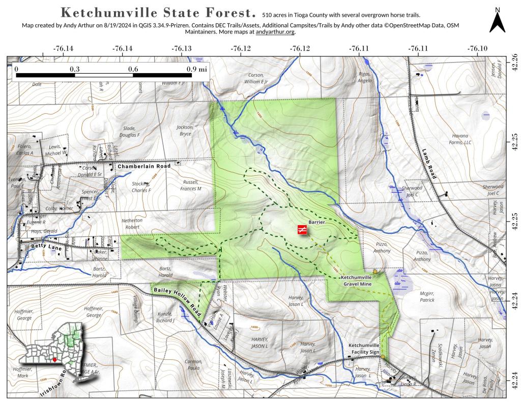
Tioga County is a county located in the U.S. state of New York. As of the 2010 census, the population was 51,125. Its name derives from an American Indian word meaning “at the forks,” describing a meeting place. Its county seat is Owego.
Tioga County is located in southwest New York State, west of Binghamton and directly north of the border with Pennsylvania. The Susquehanna River flows into Pennsylvania from this county. The county is considered part of the Southern Tier region of New York State.
The highest elevation is an unnamed 1,994-foot (607.8 m) hill in the county’s northern corner.
Tioga County is part of the Binghamton Metropolitan Statistical Area.