Will I Have to Climb Over That Ridge?
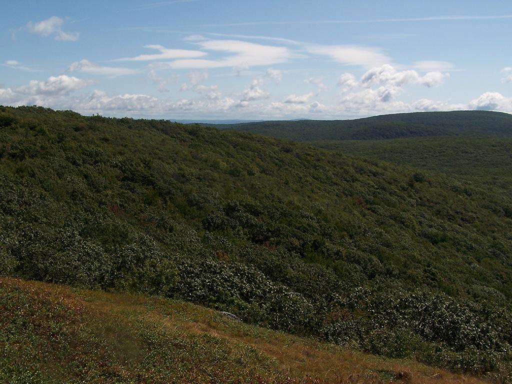
That was my fear as the South Taconic Trail rapidly started to descend. Fortunately, the trail descends a lot, but works it way around the ridge into a relatively flat return home.
Sunday September 13, 2009 — Alander Mountain