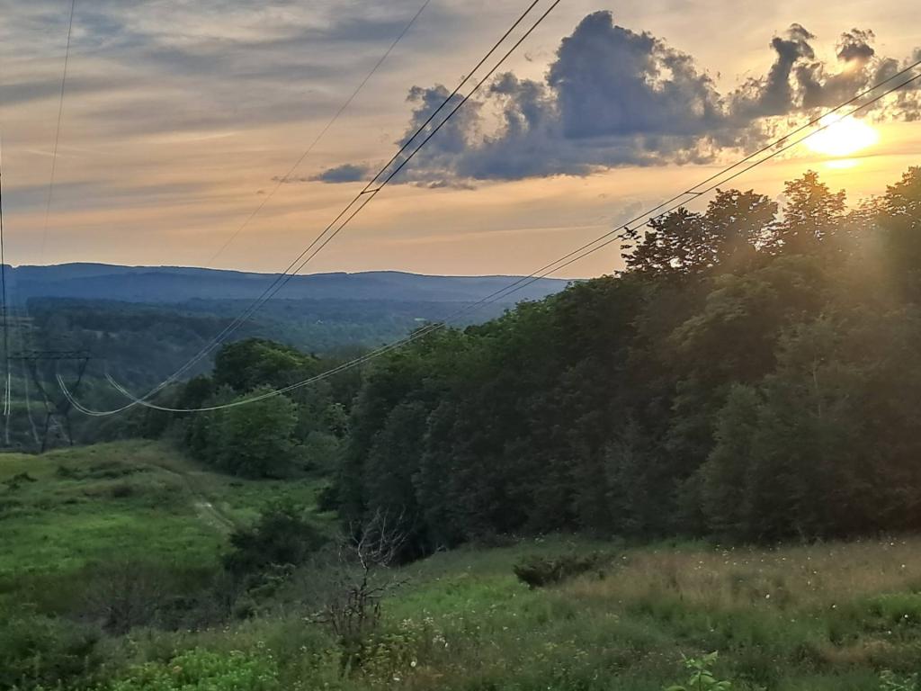
Powerline Cut Along County Route 1

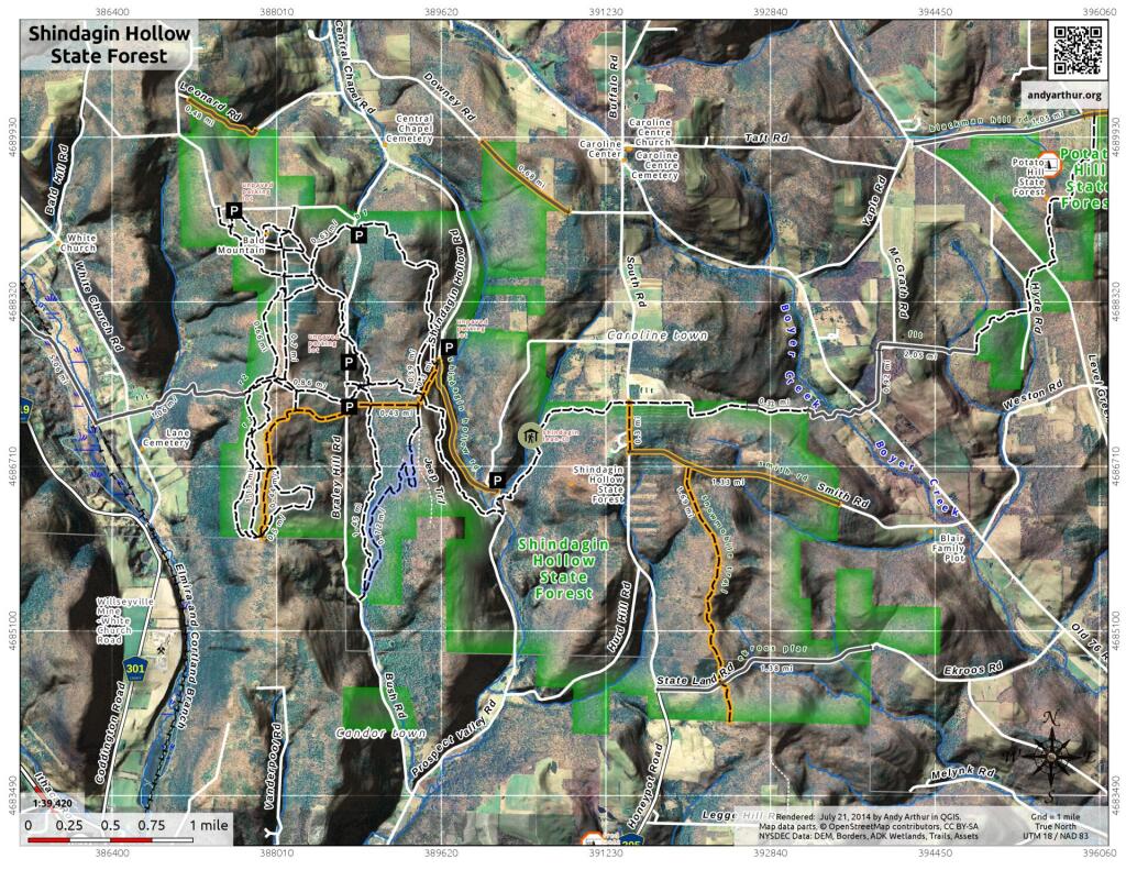
Last winter, several parcels were being sold off on Woodstock Road, some of which interested me as a potential home site. But the road is inaccessiable currently in the winter, though I wanted to check them out. So I did a quick drive-by on my way from Cole Hill State Forest to Partridge Run.
Sunday July 21, 2024 — Berne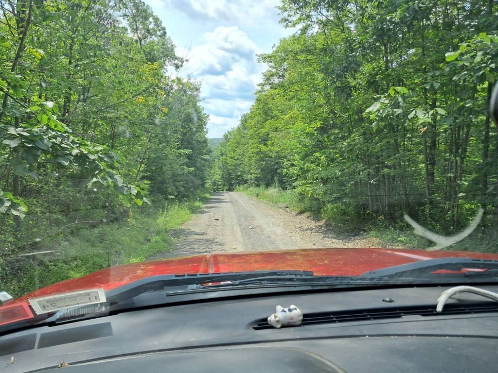
When I took this picture, there wasn't much farming going on, at this farm off Peasely Road. Now it's full of beef cattle and buffalo.
Monday July 14, 2008 — Berne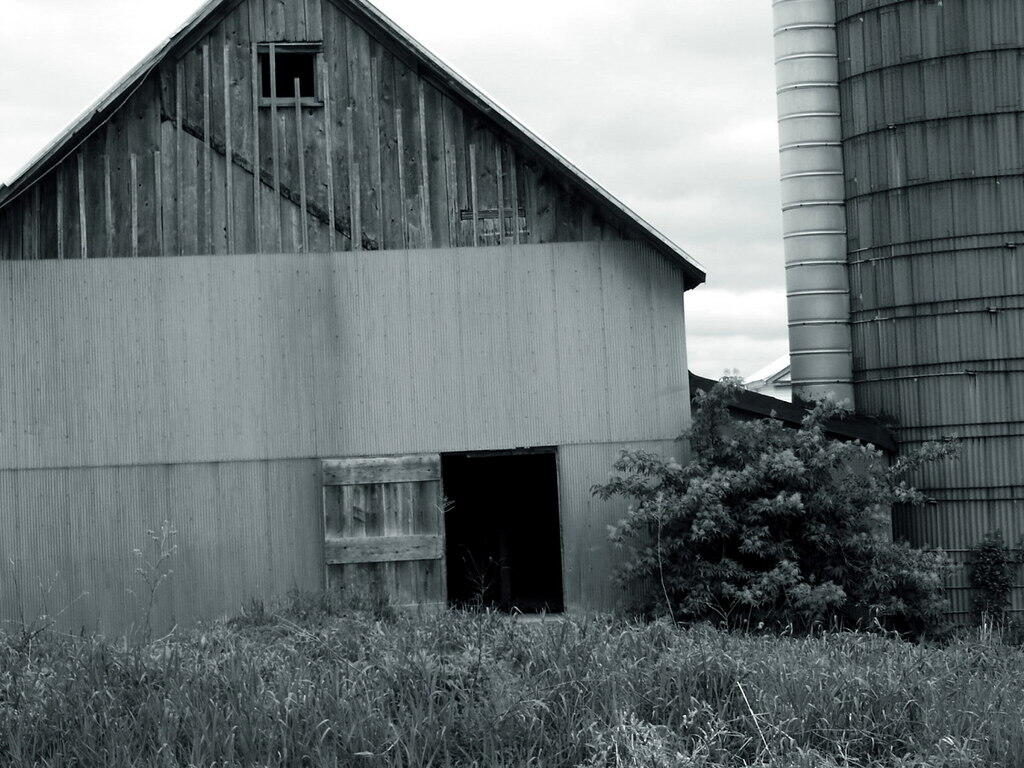
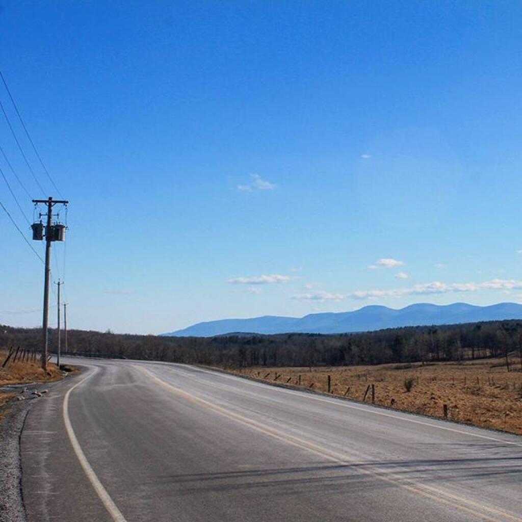
On Ryan Road.
Sunday February 28, 2010 — Berne