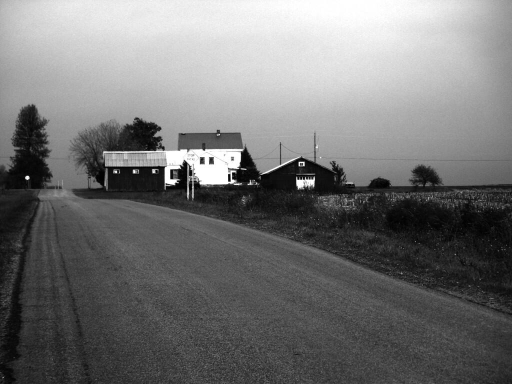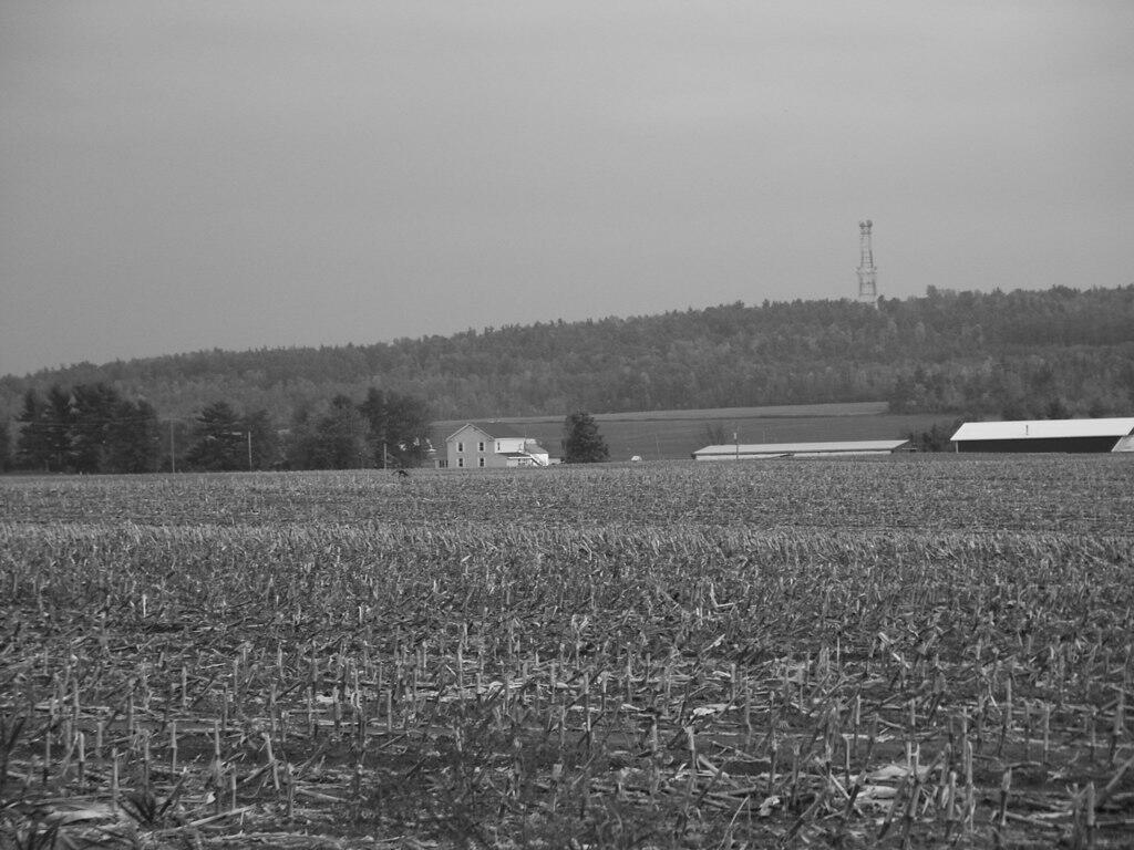
Dairy Farm in Peru

It's not like you've never seen this before. Probably by the time you see this picture, it's all chopped up and sitting in a silo somewhere, ready to feed the cows this winter.
Saturday September 23, 2006 — Farming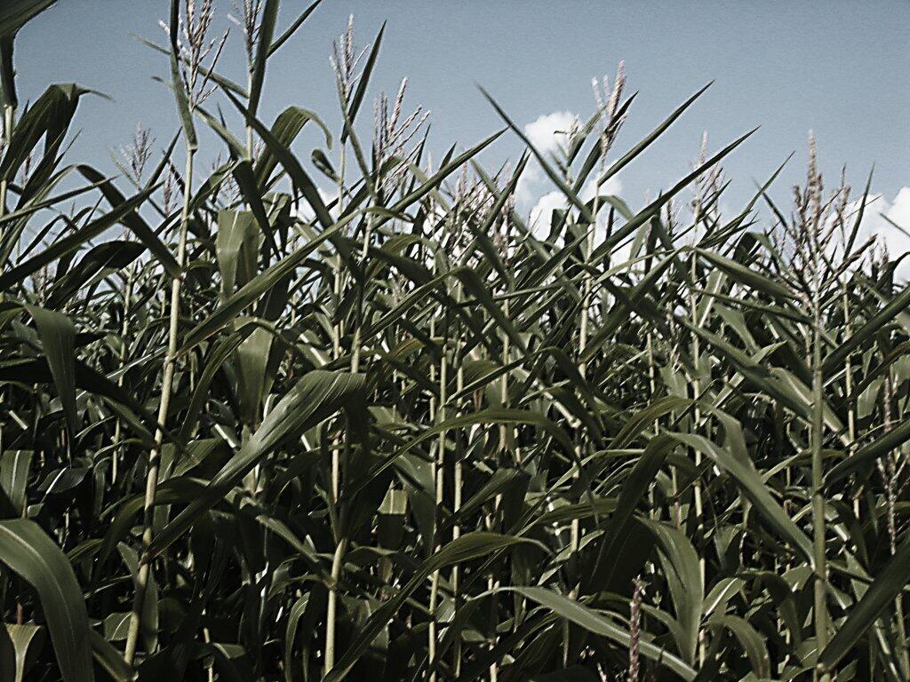

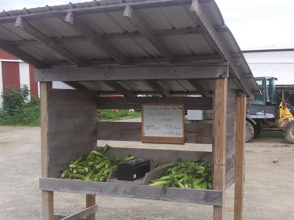
I have followed his YouTube channel for a long time, and stopped on way back from the Finger Lakes at his dairy farm to get sweet corn. https://youtube.com/c/mikep7810
Sunday August 1, 2021 — Dairy Farming