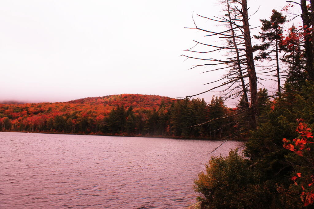
Indian Lake (82 acres) is located at the end of the recently closed Indian Lake Road. It’s now a 2.5 mile hike back to lake, due to the road closure.
It was a productive fishery that became fishless due to acid deposition. The lake is becoming less acidic in recent years, but still has trouble sustaining fish, with a ph of 5.3.