Old State Road, 1890s Topos
South of Nelson is Old State Road, however it's not clear to me that US 20's alignment has changed significantly since the 1800s from looking at these topos, even though they did twin the roads in the 1950s.

South of Nelson is Old State Road, however it's not clear to me that US 20's alignment has changed significantly since the 1800s from looking at these topos, even though they did twin the roads in the 1950s.
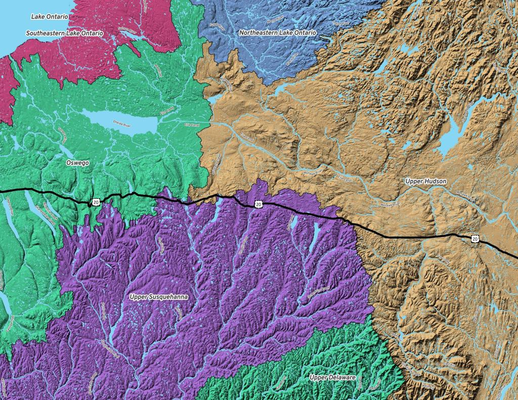
Have you ever wondered why the Great Western Turnpike goes so far south, away from the Mohawk Valley and the major cities - and over several hills which have posed troubles for everything from horse and buggies to Volkswagen Bugs?
It turns out when they were constructing the Great Western Turnpike a major concern was bridging stream crossings, and a way to avoid crossing many streams was to follow the divide between the Susquehanna Watershed and the Mohawk Watershed.
While the Great Western Turnpike crosses the Schoharie Creek, it does where it's more shalow upstream, and until you reach the Finger Lakes, most of the stream crossings are minor to non-existent as it's riding the divide between the watersheds.
Fun times back when I was working out in Madison County, with the crisp cool of the air. Great place not too far from where I working, and still a great place to camp, especially off season.
Friday October 17, 2014 — Stoney Pond State Forest — Stoney Pond State Forest 🗺 — Untitled 🗺— PDF with All Maps 📚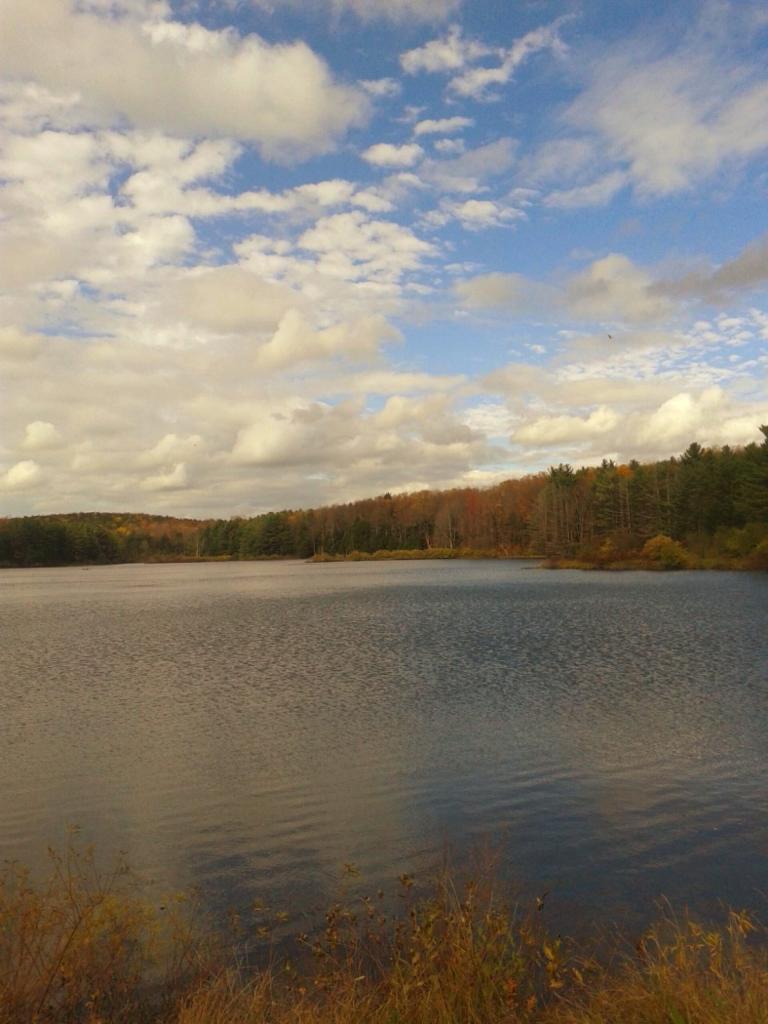
The Canastota Creek runs in a deep gorge and is followed by an old railroad grade an the Link Trail / Canastota-Cazenovia Trailway.
