Coal Country
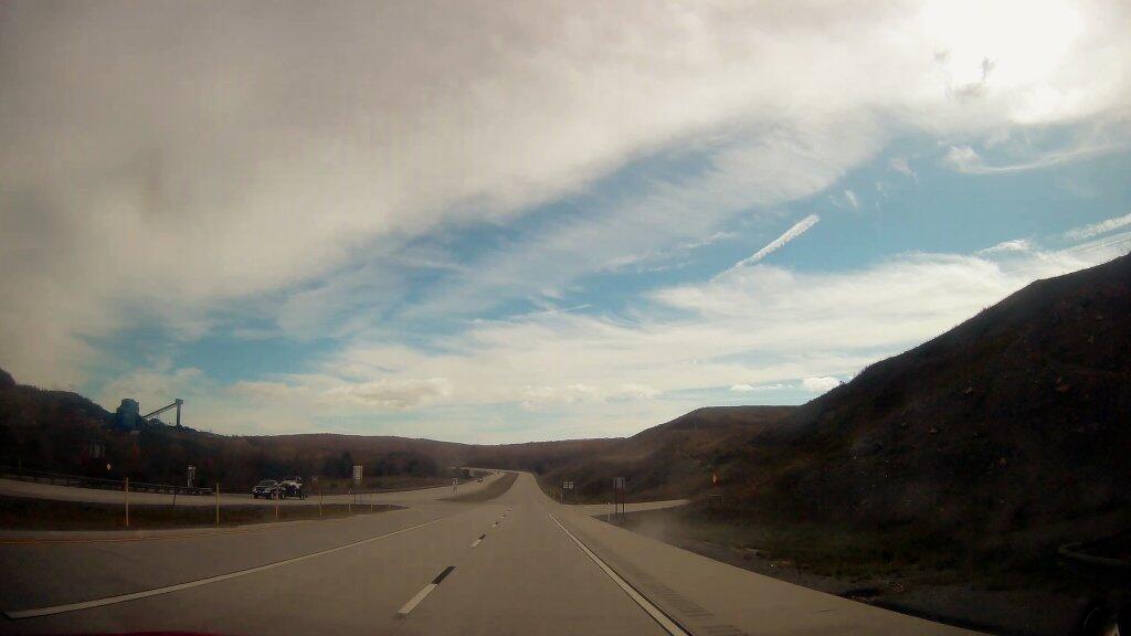
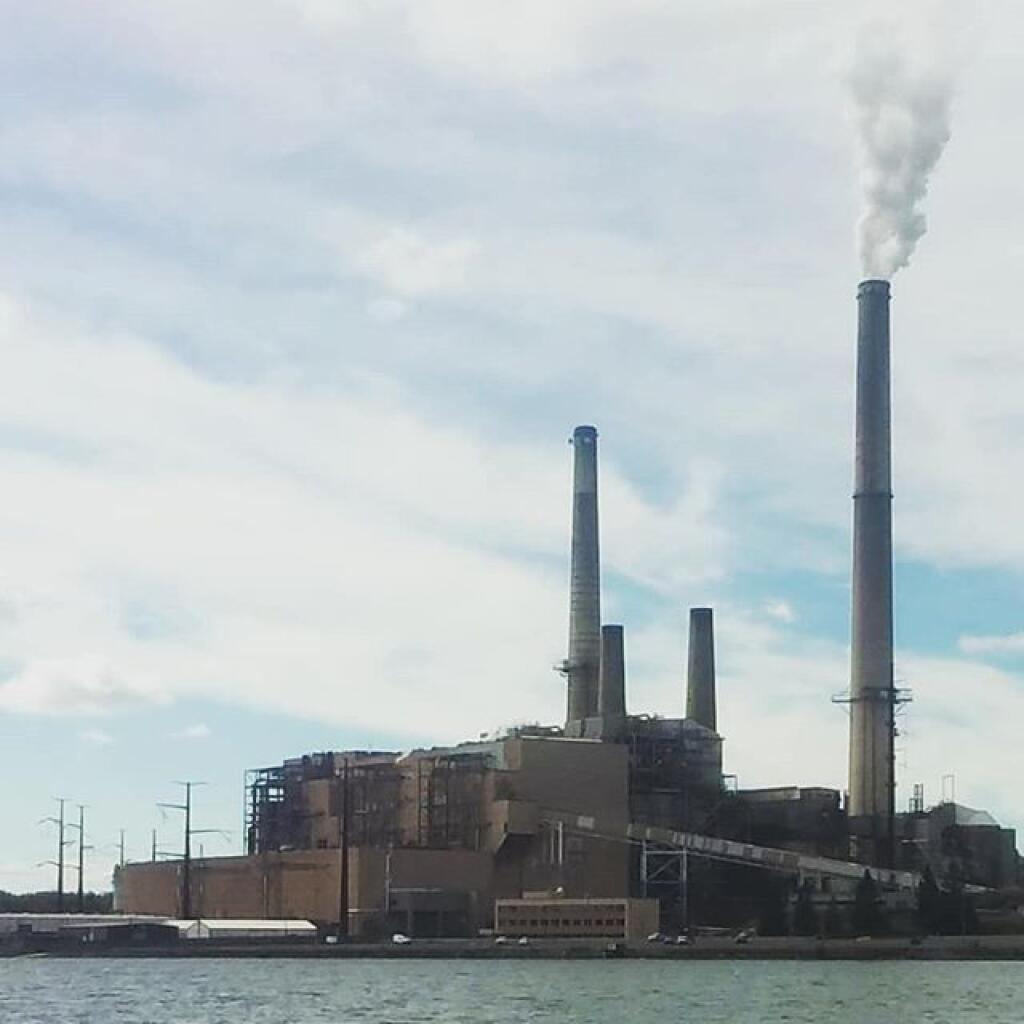
Heading through Northern West Viriginia Coal Country, not too far from the Mount Storm Power Plant.
Monday October 14, 2019 — Mount Storm

Heading through Northern West Viriginia Coal Country, not too far from the Mount Storm Power Plant.
Monday October 14, 2019 — Mount Storm
The Davis and Cumberland Topographic Maps of 1921 show what area was like before the Mount Storm Coal Fired Power Plant and the Mount Storm Reservoir. The area was mostly wilderness, with a smaller now defunct reservoir further upstream.

Before Corridor "H" if you wanted to go from Bismark to Scheer, you had to descend this steep, windy hill on West Virginia Route 93. This road had been improved, in the sense that it's smooth and wide, but it was still quite steep and windy -- for a major route driven by coal-hauling trucks. Corridor "H" changed that totally.
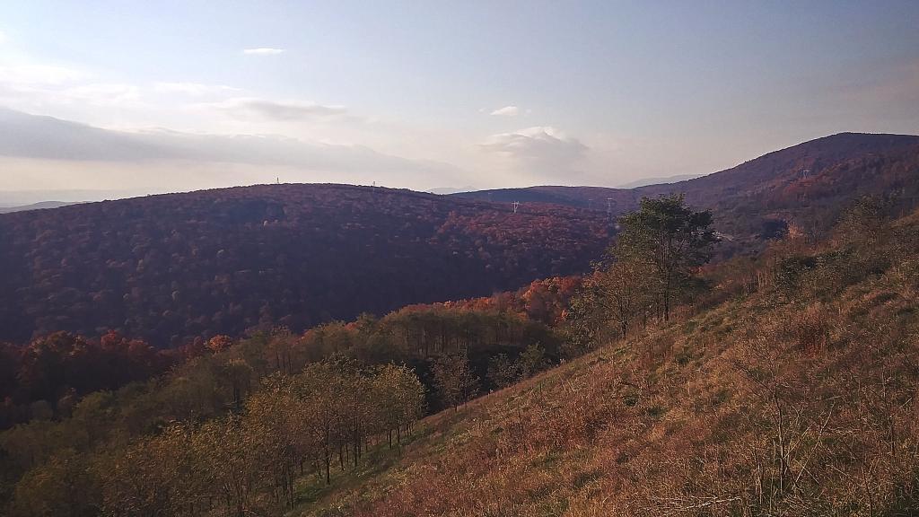
And forenobs of the Allegheny Front looking down from the parking area along Corridor H.
Wednesday November 10, 2021 — Mount Storm