Sadle River New Jersey
With the INFAMOUS and always congested NY 17 super street running through it.

With the INFAMOUS and always congested NY 17 super street running through it.
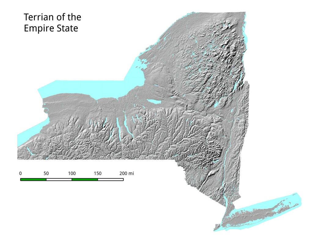
My fascination with all things New Jersey continues. Here is an interactive aerial photo of New Jersey, so you can take a closer look at the cities and the farms both in South Jersey and Northwest Jersey by the Delaware Water Gap.
