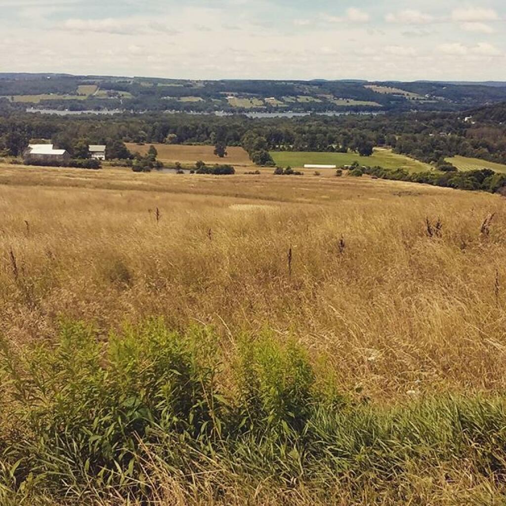
View from a back road in Bradford
Looking due east from the Sugar Hill Firetower.
Monday June 29, 2009 — Sugar Hill State Forest — Sugar Hill State Forest 🗺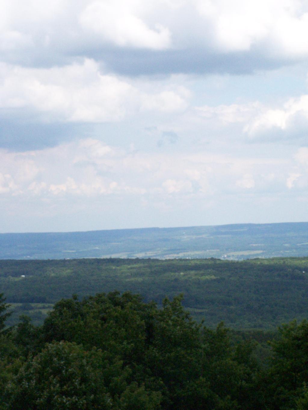
This 3D rendering shows how high Sugar Hill is compared to the surrounding Finger Lakes.


I had no idea that Sugar Hill is actually outside of the state forest until I looked at a map. Tower Hill is not Sugar Hill even though it's higher than its namesake.
Friday July 30, 2021 — Sugar Hill State Forest — Sugar Hill State Forest 🗺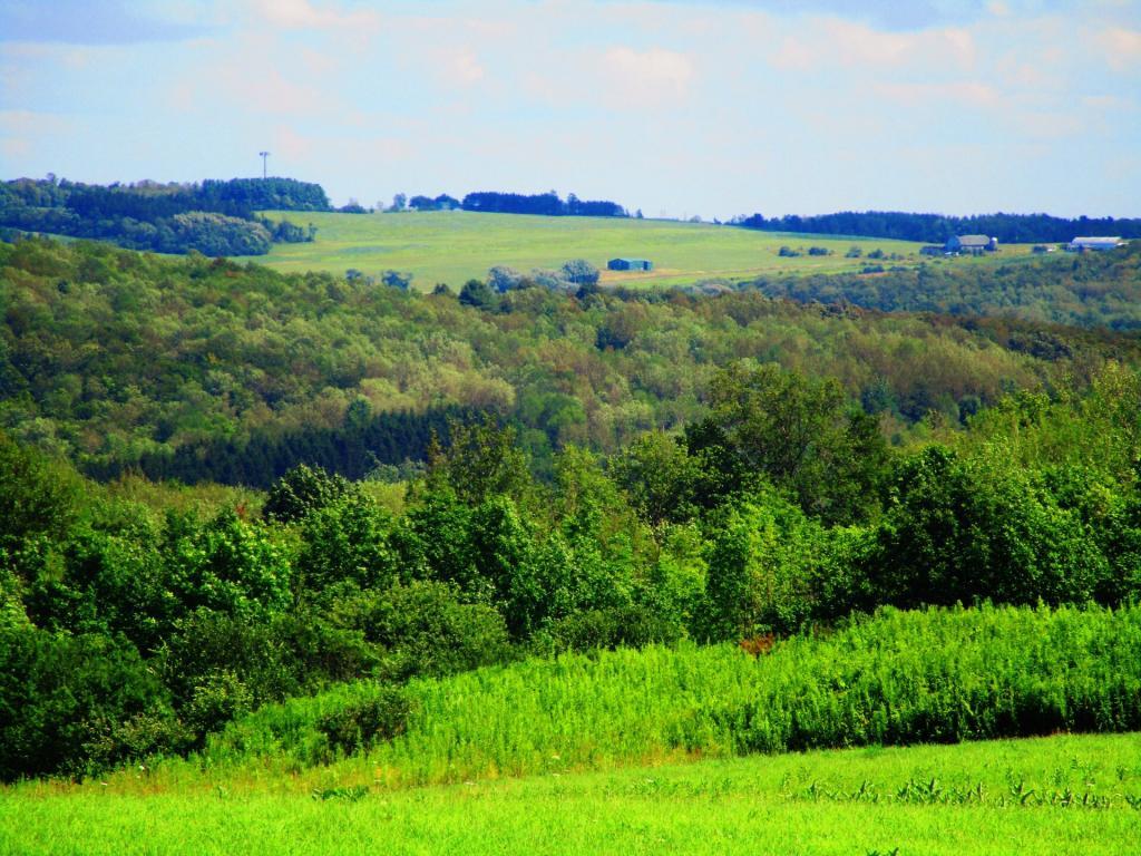

Today's explorations bring me to Sugar Hill State Forest and the Finger Lakes Trail. Lots of good places to hike and camp around here. I hear equestrians and snowmobiles like it two with miles and miles of trails to do, some a bit muddy from the shallow soil and horse hooves.
