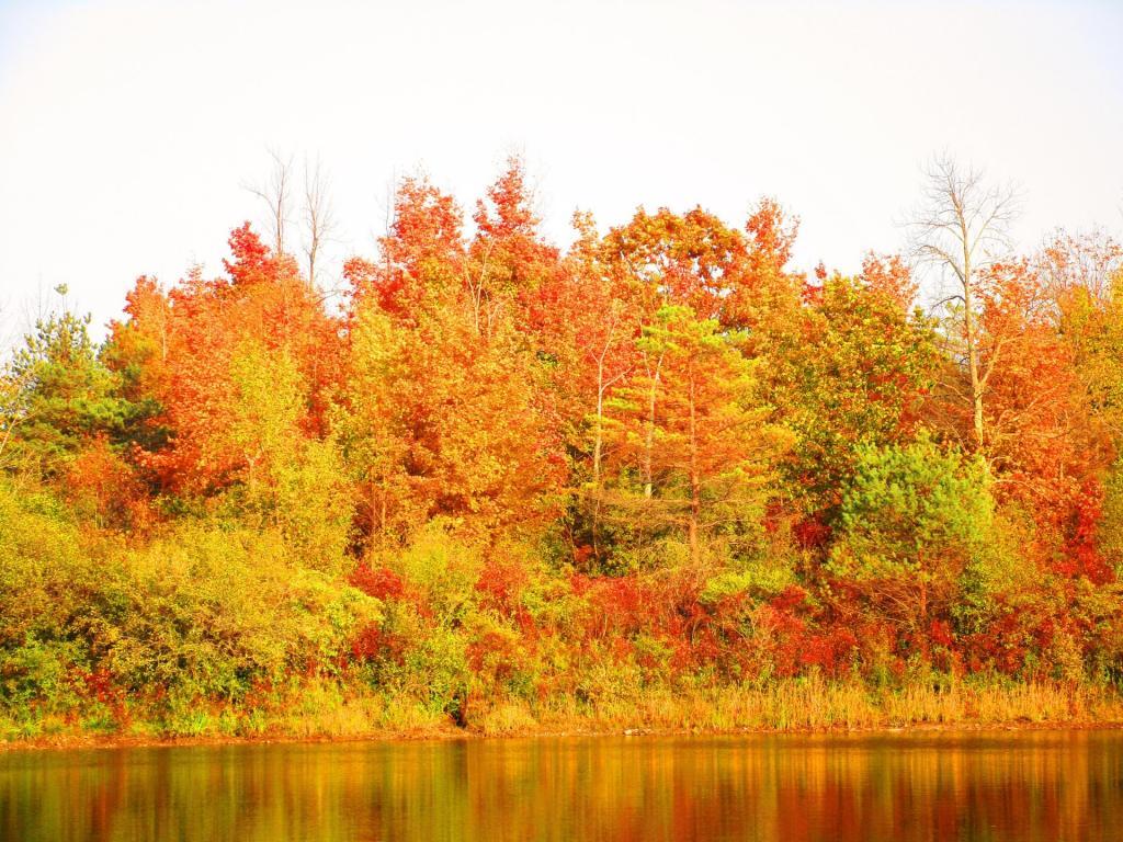
Pond
I took this same picture six months ago and his fast the seasons have changed during this year of the pandemic.
Saturday October 10, 2020 — John Boyd Thacher State Park

I took this same picture six months ago and his fast the seasons have changed during this year of the pandemic.
Saturday October 10, 2020 — John Boyd Thacher State Park
I love that OSI has purchased this land and will be added to the Rensselearville State Forest in the coming years once the state finalizes the transaction. I do hope they bush hog this area from time to time and maintain it as open fields.
Saturday October 8, 2022 — Rensselearville State Forest — Rensselaerville State Forest 🗺 — Rensselaerville State Forest - Hillcross Parcel 🗺 — Rensselaerville State Forest - Hillcross Parcel - Ortho 🗺— PDF with All Maps 📚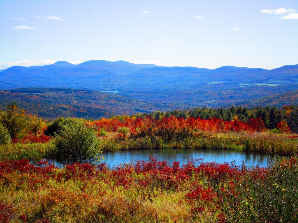
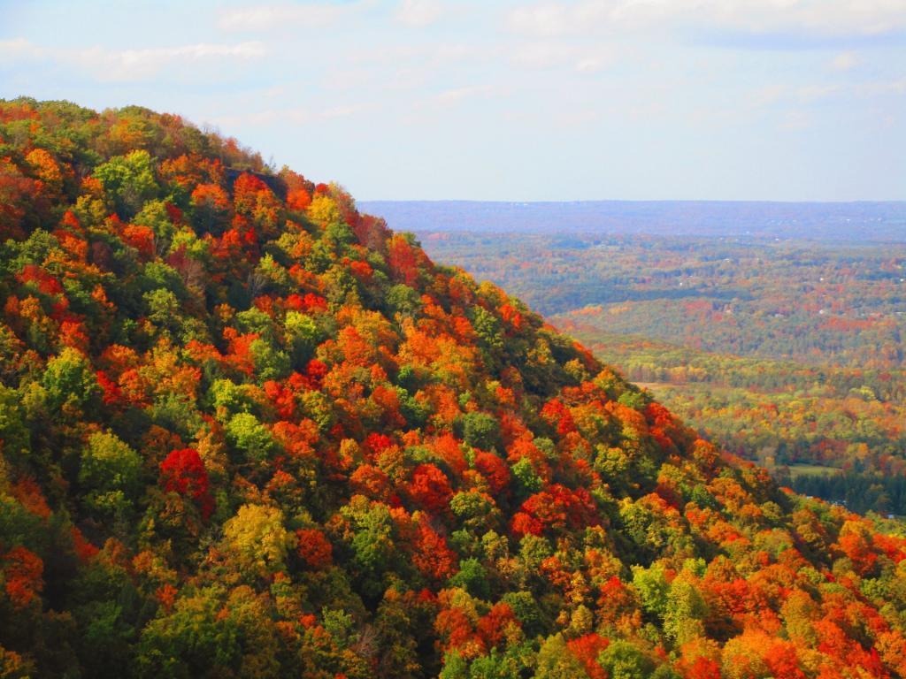
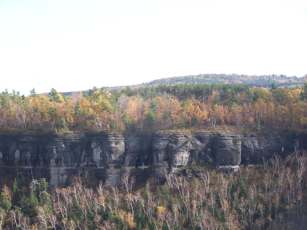
Looking out and over from Hang Gliders Point on the Escarpment.
Saturday October 10, 2020 — John Boyd Thacher State Park