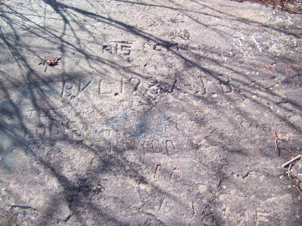
Carved Names 🖼️
Download a JPEG Image of the Carved Names.
Carved Names ...
Taken on Sunday April 12, 2009 at Windham High Peak.

More about Windham High Peak...
Windham High Peak is a mountain located in Greene County, New York. The mountain is part of the Catskill Mountains.
Windham High Peak stands within the watershed of the Hudson River, which drains into New York Bay. The south and northwest sides of Windham drain into Batavia Kill, and thence into Schoharie Creek, the Mohawk River, and the Hudson River. The northeast side of Windham drains into Bowery Creek, thence into Catskill Creek, and the Hudson River.
Windham High Peak is within New York's Catskill Park. The Long Path, a 350-mile (560 km) long-distance hiking trail from New York City to Albany, is contiguous with the Escarpment Trail.
http://en.wikipedia.org/wiki/Windham_High_Peak


