Towards NY 144 🖼️
Download a High Resolution JPEG Image of the Towards NY 144 or an Adobe Acrobat Printable PDF of the Towards NY 144.
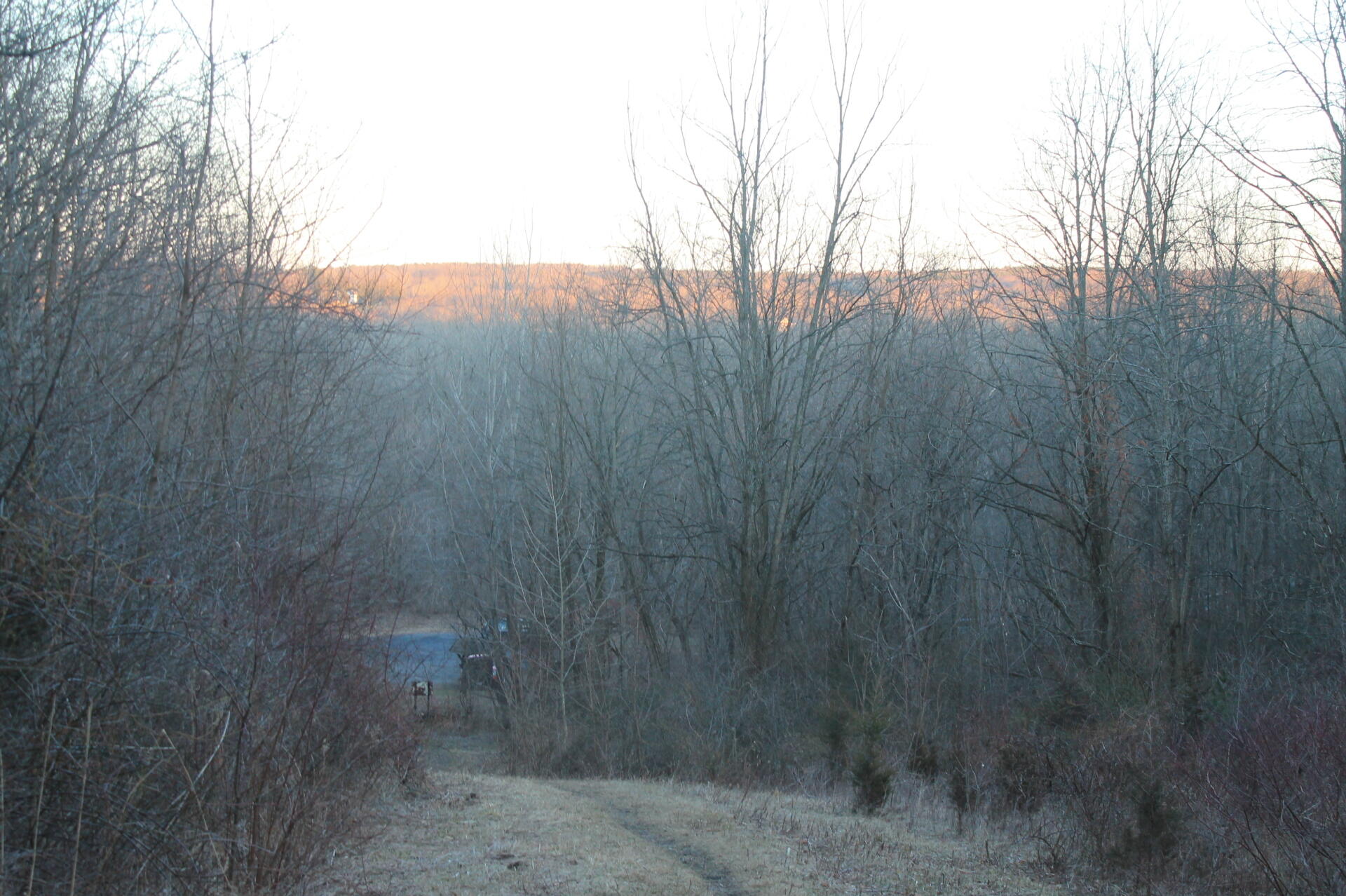
Towards NY 144 ...
Taken on Sunday February 5, 2012 at Hannacroix Preserve.

More about Hannacroix Preserve...
Located along the Hannacroix Creek on the Albany/Greene county line in the town of New Baltimore, the Hannacroix Creek Preserve is a hundred and thirteen acre natural area with access for non- motorized activities including walking, cross country skiing, observing nature and just relaxing.
The Preserve was created following the purchase of the Blake, Fischl and Alexy properties by the Open Space Institute (OSI) and is managed by the New Baltimore Conservancy. The 113 acre preserve includes several marked hiking trails leading to a lovely waterfall, scenic vistas and the foundation of a paper mill. There is a trail map at the kiosk at the entrance to the preserve. There is also a trail that leads across route 144 to a boardwalk that is the begining of the Hudson River Interpretive Trail.
Access to the preserve is from a parking area on the west side of Route 144 just south of the Albany/Greene County line.
No motorized vehicles are permitted.


