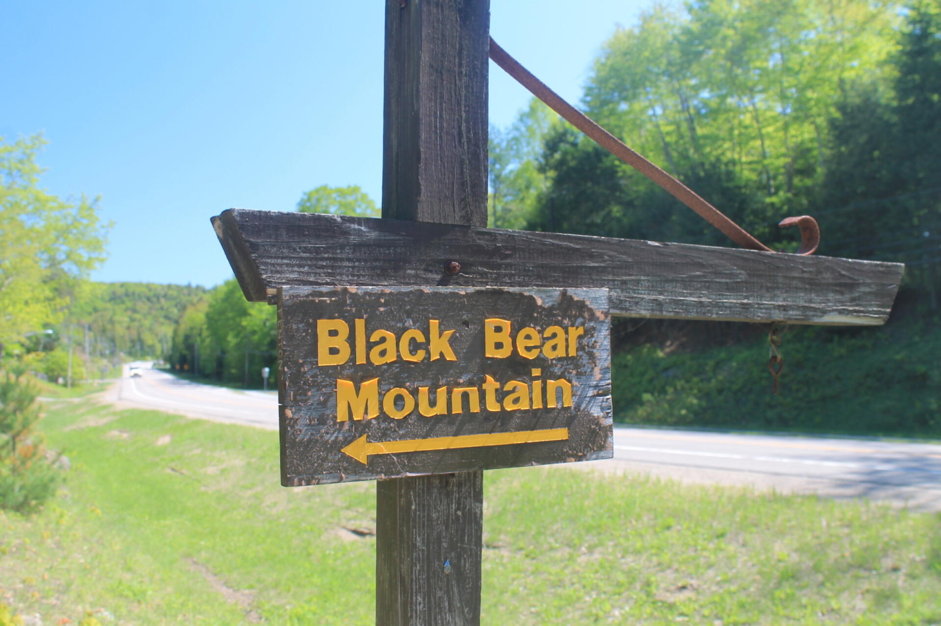
Black Bear Mountain Sign 🖼️
Download a High Resolution JPEG Image of the Black Bear Mountain Sign or an Adobe Acrobat Printable PDF of the Black Bear Mountain Sign.
Black Bear Mountain Sign ...
Taken on Monday May 27, 2013 at Black Bear Mountain.

More about Black Bear Mountain...
The trailhead for Black Bear Mountain is just off NY 28 between Inlet and Eagle Bay, north of Old Forge. It is also the trailhead for Rocky Mountain, a short steep climb to good views of the Inlet area of Fourth Lake. The trailhead parking appears to be on a short section of an old abandoned highway.
The trail up Black Bear starts at the end of the old road / parking lot nearest Inlet. There are two routes up Black Bear, the shorter, but steeper route of 1.9 miles and the longer but muddier route of 3.1 miles. There is another trailhead on Uncas Road that isn't as steep but is 2.2 miles to the summit.


