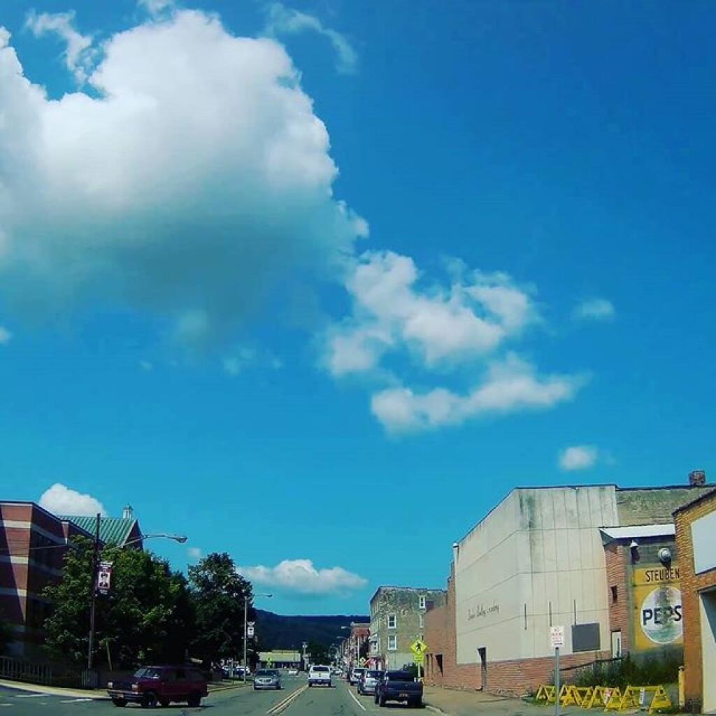
Downtown 🖼️
Download a JPEG Image of the Downtown.
Downtown ...
Taken on Friday July 26, 2019 at Allegany County.

More about Allegany County...
Allegany County is a county located in the U.S. state of New York. As of the 2010 census, the population was 48,946.[1] Its name derives from a Delaware Indian word, applied by settlers of Western New York State to a trail that followed the Allegheny River. Its county seat is Belmont.
Allegany County is in the southwestern part of New York State, along the Pennsylvania border. Allegany County does not lie along the Allegheny River, as its name would suggest. The highest point in the county is Alma Hill with an elevation of 2,548' above sea level. This is the highest point west of the Catskill Mountains in New York State. The highest point of Interstate 86 is located in the Town of West Almond with an elevation of 2,110'. This is also believed to be the highest point of any Interstate in the New York.
The Genesee River bisects the county from south to north. In June 1972 the remnants of Hurricane Agnes stalled over the area, dropping more than 20 inches (510 mm) of rain. There was memorable flooding in Wellsville, Belmont, Belfast and other valley communities of the county. The Genesee River is extremely popular with canoeists (as it was a favored route for Native Americans) and the river abounds in smallmouth bass, trout and panfish.
http://en.wikipedia.org/wiki/Allegany_County,_New_York
Download the PDF Map Pack with All Maps from Allegany County.


