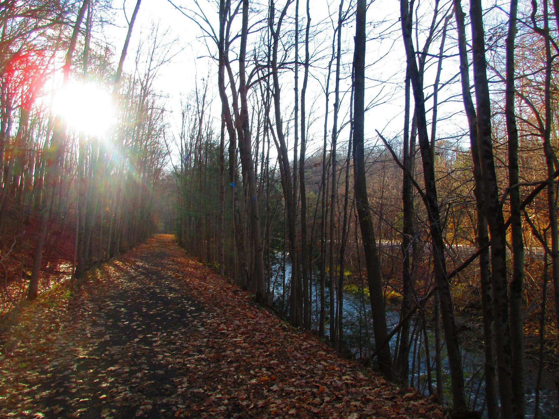
Upper Trail Winds Between the Gorge, Creek and Road 🖼️
Download a High Resolution JPEG Image of the Upper Trail Winds Between the Gorge, Creek and Road or an Adobe Acrobat Printable PDF of the Upper Trail Winds Between the Gorge, Creek and Road.
Upper Trail Winds Between the Gorge, Creek and Road ...
This honestly is not my favorite part of the trail, because it's kind of noisy from the road and the views are somewhat limited deep in the gorge.
Taken on Saturday November 7, 2020 at Canastota-Cazenovia State Trailway.

More about Canastota-Cazenovia State Trailway...
State lands along the North Country / Link Trail that run from Canastota towards Cazenovia, along an old railbed. On this trail you will explore a fairly deep gorge where the Canastota Creek runs, and walk past the old Canastota Reservoir. Most of the trail runs along an old railroad bed, providing a nice leisurely stroll, with views of the gorge below.


