Digital Terrain Models 🗺️
Download a High Resolution JPEG Image of the Terrain Digital Terrain Models or an Adobe Acrobat Printable PDF of the Terrain Digital Terrain Models.
About Digital Terrain Models ....
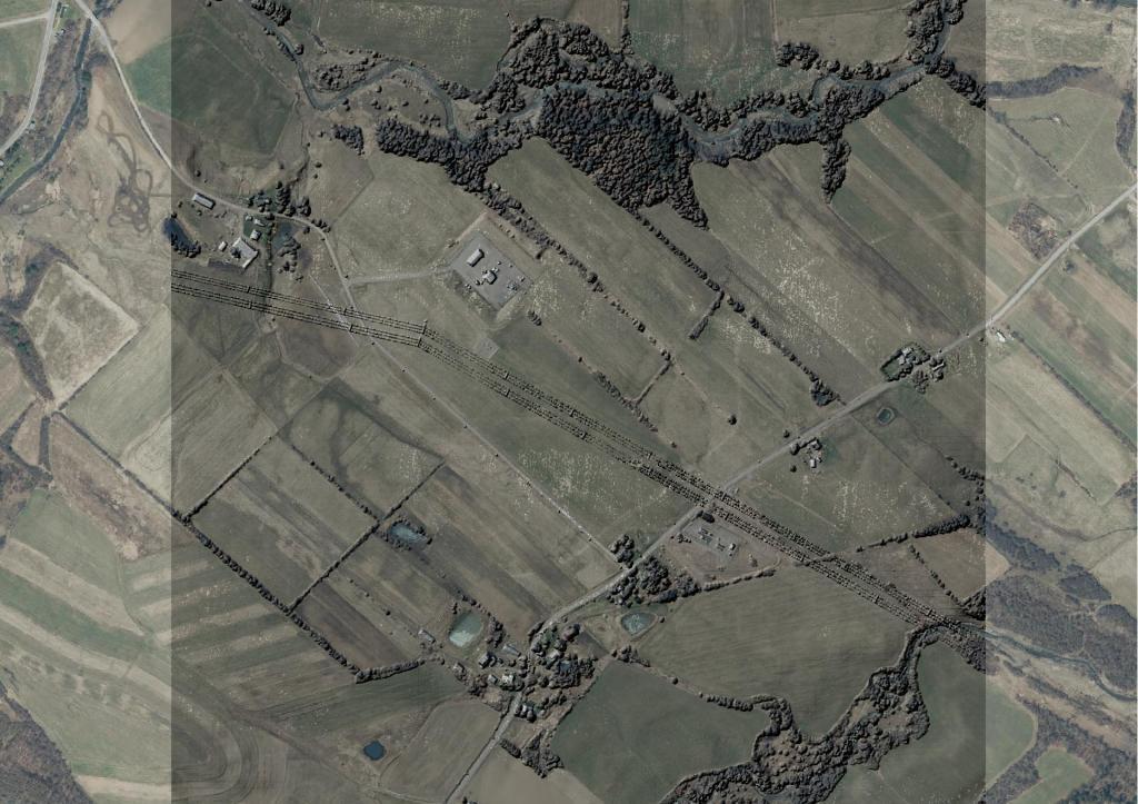
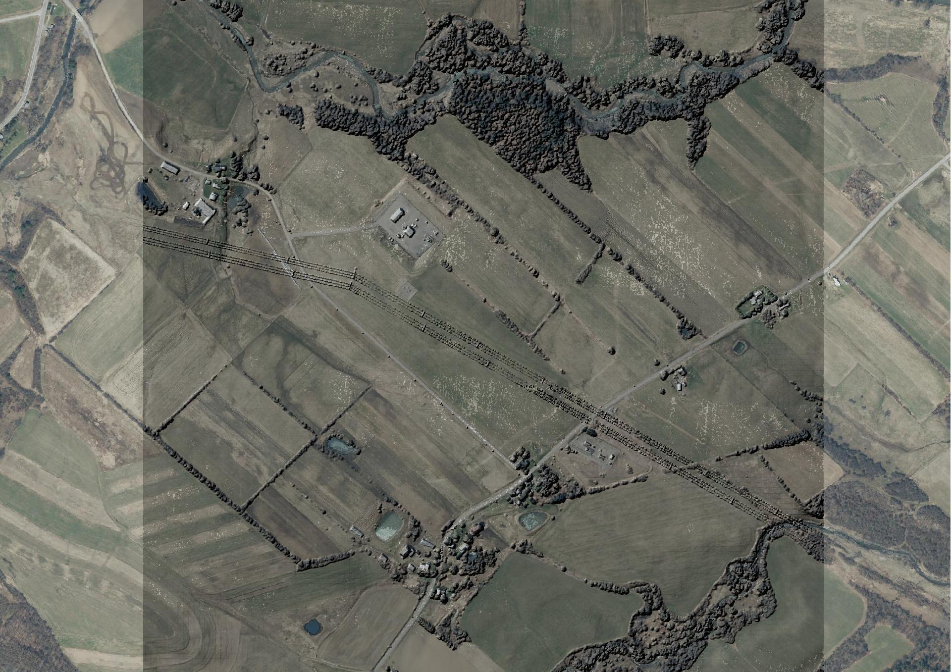
Lately I have been experimenting with digital terrain models extracted from the LIDAR point cloud. It allows me to measure the height of buildings and tree cover and can be used for better 3d modeling.

More about Mapping...

