Evening Along the Sacandaga River 🖼️
Download a High Resolution JPEG Image of the Evening Along the Sacandaga River or an Adobe Acrobat Printable PDF of the Evening Along the Sacandaga River.
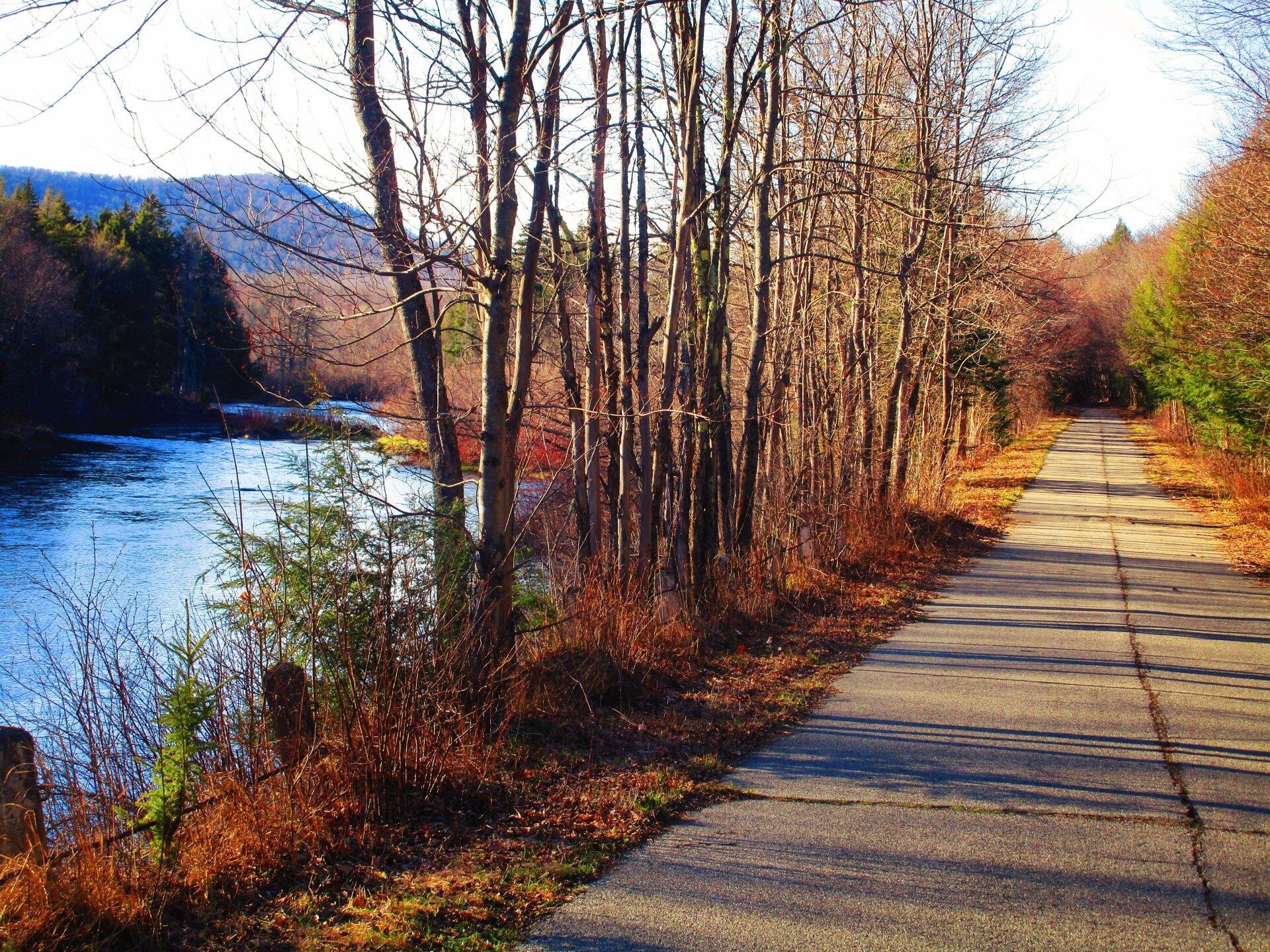
Evening Along the Sacandaga River ...
Walking along the Sacandaga River on a clear but cool night along Old Route 8B. Did not see a single car or person in over two hours of walking, returning to camp after the moon had risen, providing light for nighttime walking.
Taken on Monday April 26, 2021 at Perkins Clearing and Speculator Tree Farm Conservation Easement Lands.

More about Perkins Clearing and Speculator Tree Farm Conservation Easement Lands...
The Perkins Clearing/Speculator Tree Farm Conservation Easement Lands span 40,000 acres near Speculator, divided into the 14,332-acre Perkins Clearing Tract and the 21,648-acre Speculator Tree Farm Tract. Access is allowed with limitations due to private ownership, active logging, and leased cabins. Public recreation is permitted within special guidelines -- camping only at designated sites, certain trails and roads may be closed for logging -- look for signs that designate use.
Download the PDF Map Pack with All Maps from Perkins Clearing and Speculator Tree Farm Conservation Easement Lands.


