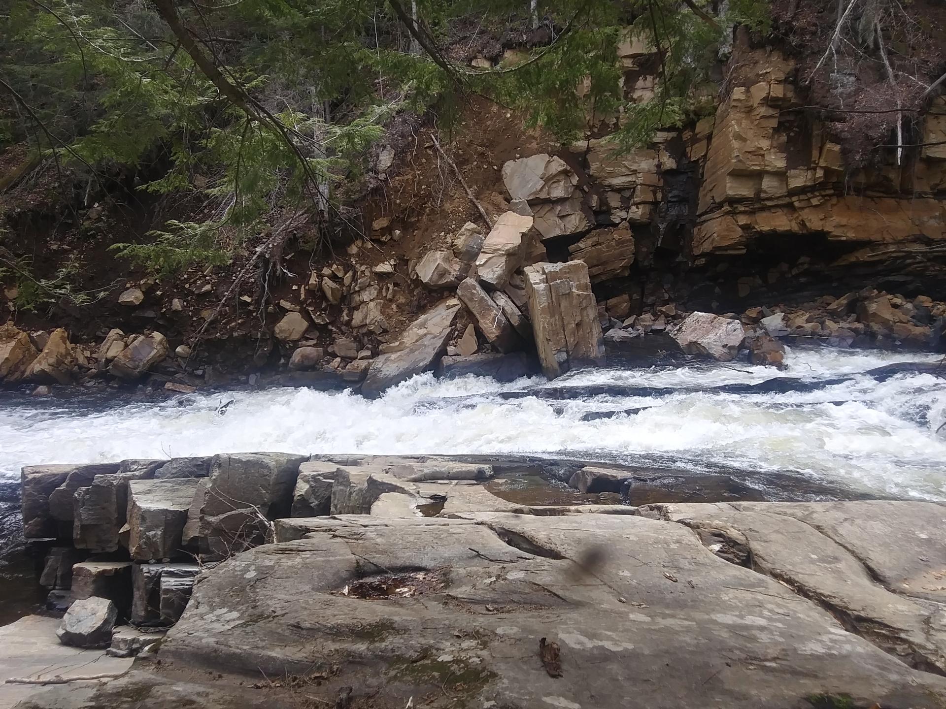
Austin Falls 🖼️
Download a High Resolution JPEG Image of the Austin Falls or an Adobe Acrobat Printable PDF of the Austin Falls.
Austin Falls ...
From yesterday's hike. More photos tomorrow I promise!
Taken on Saturday May 15, 2021 at Perkins Clearing and Speculator Tree Farm Conservation Easement Lands.

More about Perkins Clearing and Speculator Tree Farm Conservation Easement Lands...
The Perkins Clearing/Speculator Tree Farm Conservation Easement Lands span 40,000 acres near Speculator, divided into the 14,332-acre Perkins Clearing Tract and the 21,648-acre Speculator Tree Farm Tract. Access is allowed with limitations due to private ownership, active logging, and leased cabins. Public recreation is permitted within special guidelines -- camping only at designated sites, certain trails and roads may be closed for logging -- look for signs that designate use.
Download the PDF Map Pack with All Maps from Perkins Clearing and Speculator Tree Farm Conservation Easement Lands.


