Jessup River 🖼️
Download a High Resolution JPEG Image of the Jessup River or an Adobe Acrobat Printable PDF of the Jessup River.
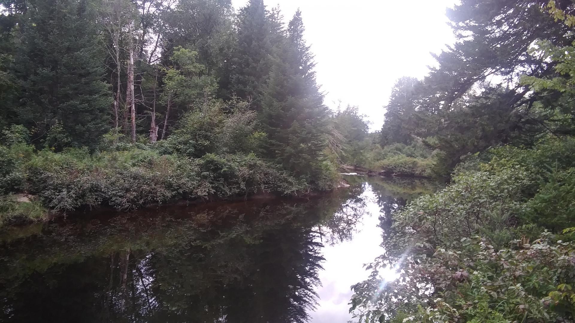
Jessup River ...
This evening I got my truck intertube I bought last week out on the Jessup River. I haven't floated in one of them in 25 years... Great fun! Though I think next time I use it I'll bring a full kayak paddle not a half paddle. Or just use my hands, which worked fine.
Something about the old fashioned rubber intertube - that brought me back to being a little kid when either my grandfather got me one or maybe it was my parents had from the 1970s. It's just such a throw back to a different era - it could have easily been 1951, laying on that rubber tube, looking up at the trees and the darkening skies, gently floating down the river.
Now I get that they sell modern swimming tubes on Amazon or at Wally World, the kind with handles and drink holders, painted bright colors of your favorite sports team or with penguins on it. But nothing beats the feeling of an old fashioned truck semi intertube. The light smell of the rubber and its warmth of the black rubber, the feeling it has you lay on it, and even the metal valve stem even if you lean over too far.
Maybe it's just nostalgia. But it's fun laying back in the water, floating down the stream like one might have done 70 years ago.
Taken on Friday September 3, 2021 at Perkins Clearing and Speculator Tree Farm Conservation Easement Lands.

More about Perkins Clearing and Speculator Tree Farm Conservation Easement Lands...
The Perkins Clearing/Speculator Tree Farm Conservation Easement Lands span 40,000 acres near Speculator, divided into the 14,332-acre Perkins Clearing Tract and the 21,648-acre Speculator Tree Farm Tract. Access is allowed with limitations due to private ownership, active logging, and leased cabins. Public recreation is permitted within special guidelines -- camping only at designated sites, certain trails and roads may be closed for logging -- look for signs that designate use.
Download the PDF Map Pack with All Maps from Perkins Clearing and Speculator Tree Farm Conservation Easement Lands.


