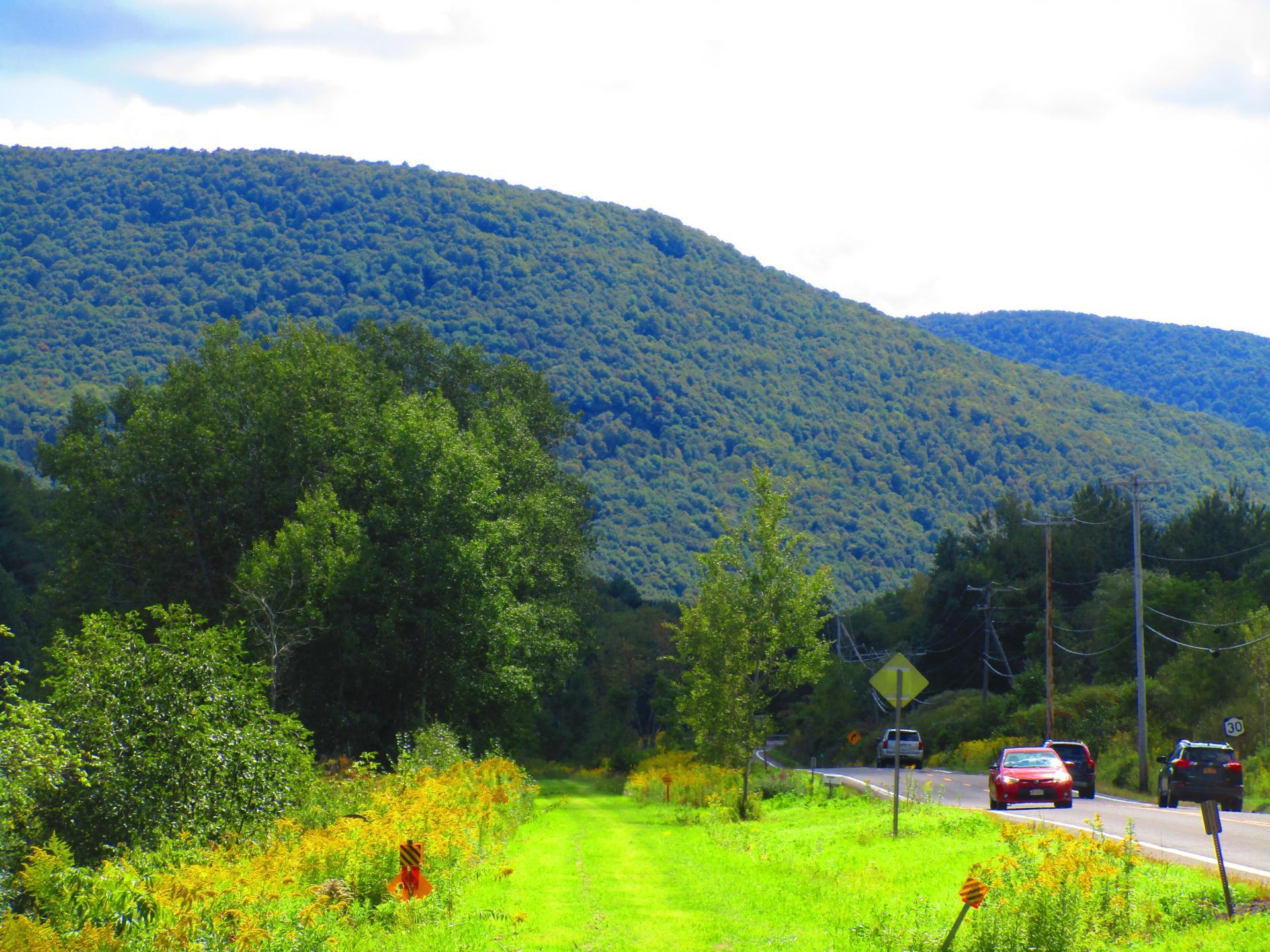
Some Parts of the Rail Trail Follow Quite Closely to NY 30 🖼️
Download a High Resolution JPEG Image of the Some Parts of the Rail Trail Follow Quite Closely to NY 30 or an Adobe Acrobat Printable PDF of the Some Parts of the Rail Trail Follow Quite Closely to NY 30.
Some Parts of the Rail Trail Follow Quite Closely to NY 30 ...
Never does it leave the NY 30 corridor by any distance, but a few parts are very close especially in the deeper parts of the notch and as you get down by Hubbells Corners.
Taken on Saturday September 11, 2021 at Perkins Clearing and Speculator Tree Farm Conservation Easement Lands.

More about Perkins Clearing and Speculator Tree Farm Conservation Easement Lands...
The Perkins Clearing/Speculator Tree Farm Conservation Easement Lands span 40,000 acres near Speculator, divided into the 14,332-acre Perkins Clearing Tract and the 21,648-acre Speculator Tree Farm Tract. Access is allowed with limitations due to private ownership, active logging, and leased cabins. Public recreation is permitted within special guidelines -- camping only at designated sites, certain trails and roads may be closed for logging -- look for signs that designate use.
Download the PDF Map Pack with All Maps from Perkins Clearing and Speculator Tree Farm Conservation Easement Lands.


