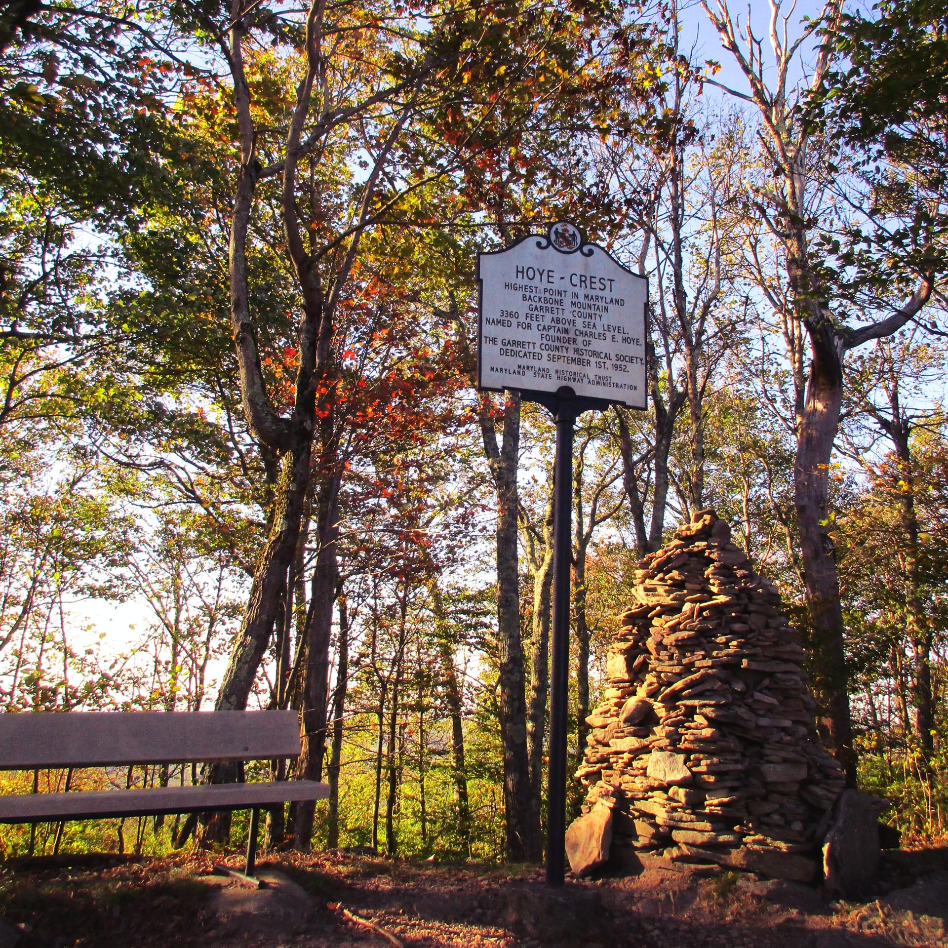
Hoye-Crest, Highest Location in Maryland 🖼️
Download a High Resolution JPEG Image of the Hoye-Crest, Highest Location in Maryland or an Adobe Acrobat Printable PDF of the Hoye-Crest, Highest Location in Maryland.
Hoye-Crest, Highest Location in Maryland ...
Taken on Thursday October 10, 2019 at Hoye-Crest.

More about Hoye-Crest...
Hoye-Crest is a summit along Backbone Mountain just inside of Garrett County, Maryland. It is the highest natural point in Maryland at an elevation of 3,360 feet.


