Heath Barrens of Dolly Sods 🖼️
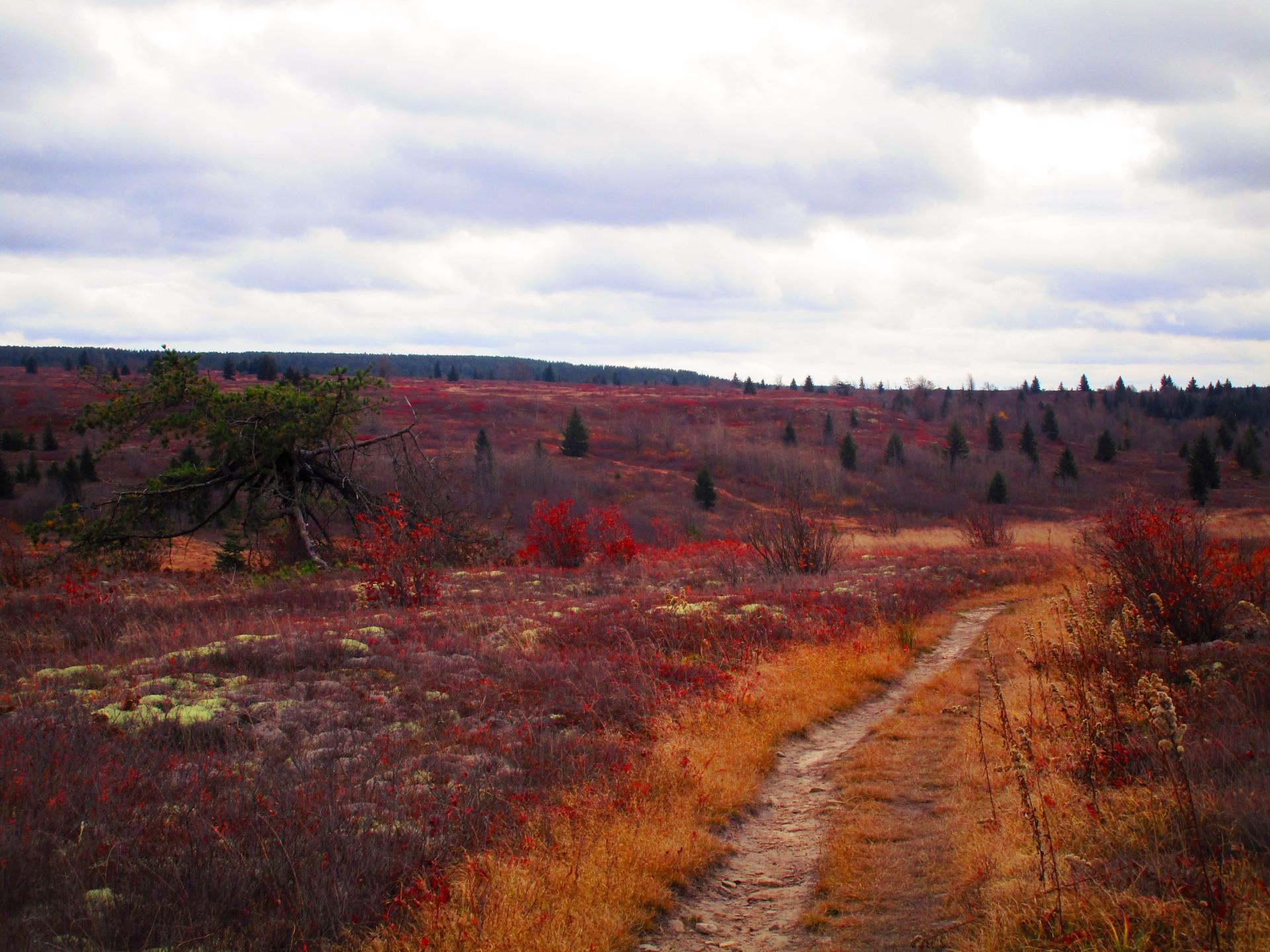
Download a High Resolution JPEG Image of the Heath Barrens of Dolly Sods or an Adobe Acrobat Printable PDF of the Heath Barrens of Dolly Sods.
Heath Barrens of Dolly Sods ...
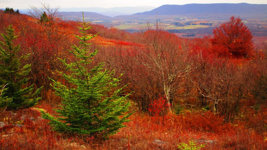
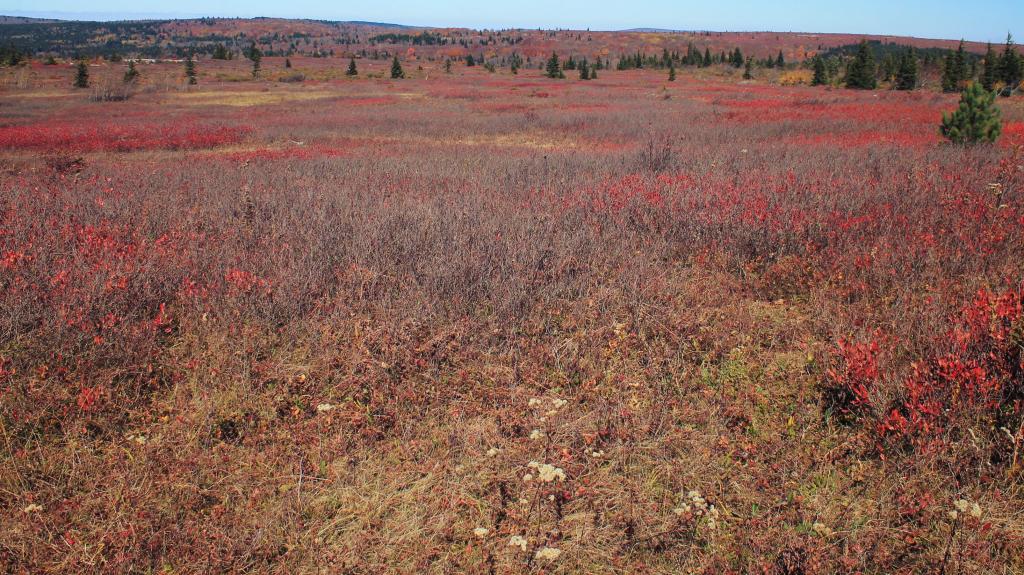
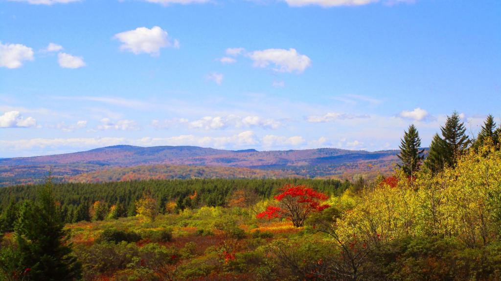
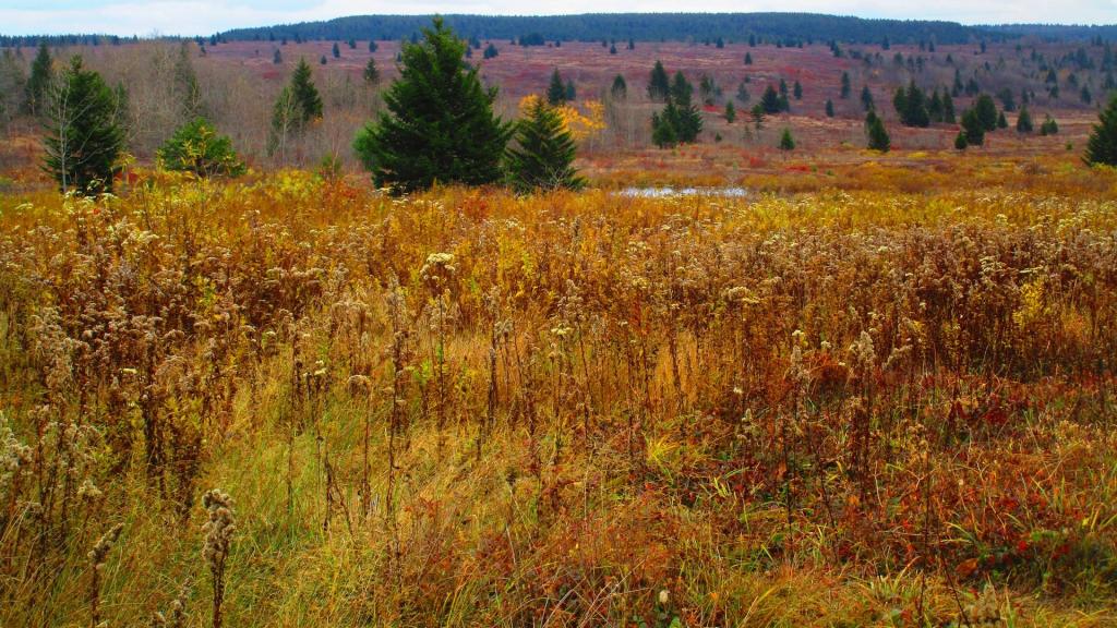
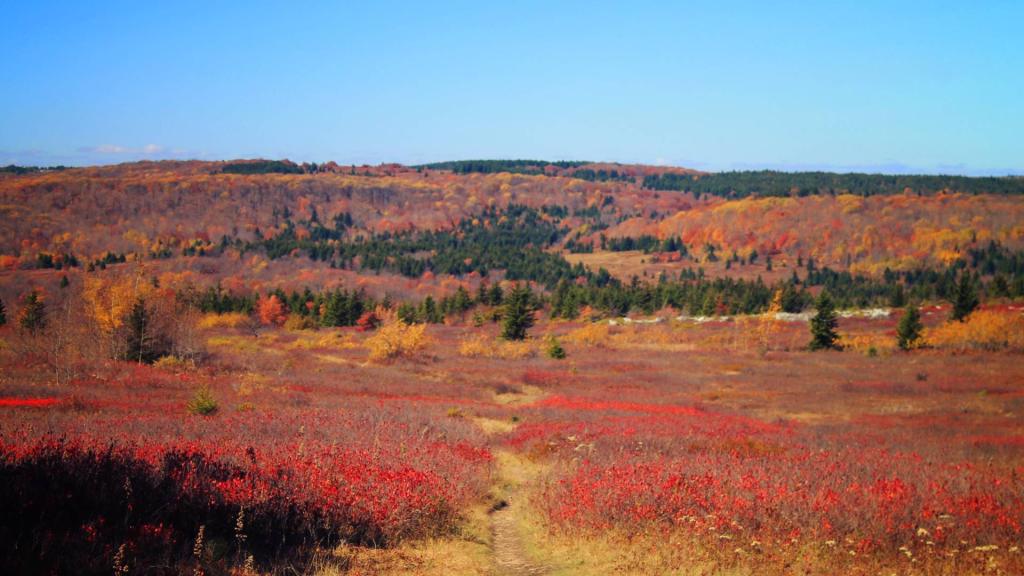
The heath barrens of Dolly Sods. Once an old-growth forest, after it was logged at the turn of century, it became ravaged by decades of fires and became over time permanently huckleberry plains or heath barrens.
The cold and wind, along with loss of organic matter made it impossible for full forests to regrow, giving it the characteristic landscape of Northern Canada or Alaska tundra.
Taken on Friday October 27, 2023 at Dolly Sods Wilderness.
More about Dolly Sods Wilderness...
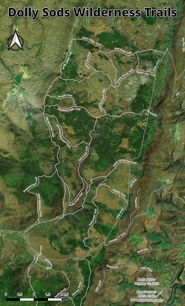
The 17,371 acre Dolly Sods Wilderness in the Monongahela National Forest is part of the National Wilderness Preservation System. It is located in Grant, Randolph, and Tucker Counties, West Virginia. The Dolly Sods Wilderness contains much of the Red Creek drainage and contains bog and heath eco-types, more commonly typical to southern Canada. Elevations range from 2,500 to over 4,700 feet. https://www.fs.usda.gov/recarea/mnf/recarea/?recid=12366