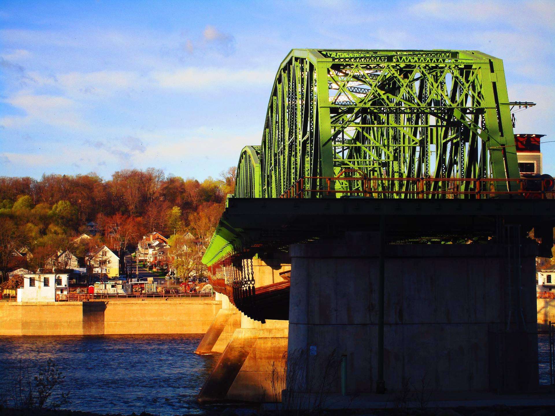
Lock 11 Bridge Dam 🖼️
Download a High Resolution JPEG Image of the Lock 11 Bridge Dam or an Adobe Acrobat Printable PDF of the Lock 11 Bridge Dam.
Lock 11 Bridge Dam ...
Taken on Sunday April 27, 2025 at Erie Canal.

More about Erie Canal...
The Erie Canal, an iconic waterway in New York State, offers a blend of historical significance and modern recreation. Spanning from Albany to Buffalo, this historic canal presents unique kayaking and cycling opportunities. Paddle along its serene waters, journeying through charming towns and picturesque landscapes, immersing in a leisurely adventure with a historical touch. On the adjacent cycling path, cyclists can pedal along the canal's scenic route, enjoying a scenic journey that parallels the waterway. The Erie Canal's towpath is now a dedicated trail for cyclists, providing a safe and enjoyable route for bike enthusiasts. Both kayaking and cycling along the Erie Canal provide an engaging way to connect with history, nature, and the communities that have flourished along this storied waterway.


![Photo: NY 167 [Expires July 29 2026]](/data/photo_25290_small.jpg "Photo: NY 167 [Expires July 29 2026]")


