Plowed Brown Road 🖼️
Download a JPEG Image of the Plowed Brown Road.
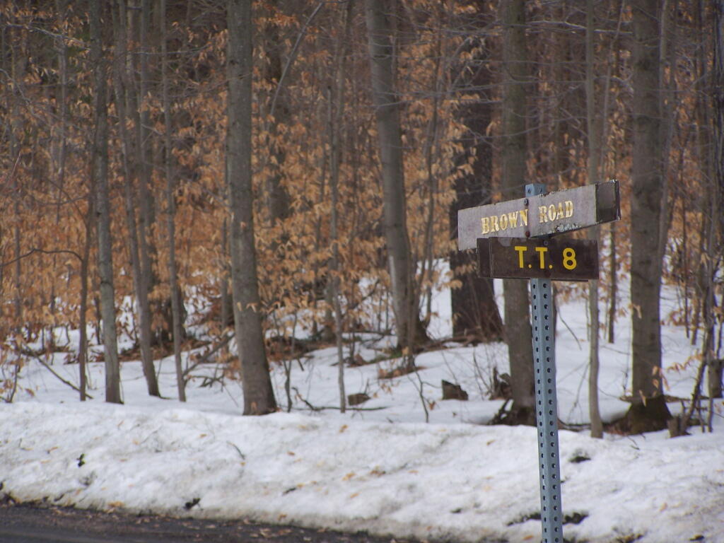
Plowed Brown Road ...
Brown Road and Truck Trail 8, near the Cherry Ridge Camping Area. While it's great that it was plowed all the way back here -- to provide access to a private inholding, there was no way to reach Cherry Ridge. I was disappointed, although the camping down at Moscow Hill Camping Area wasn't that bad.
Taken on Saturday April 9, 2011 at Charles Baker State Forest.

More about Charles Baker State Forest...
Charles Baker State Forest is named after the first District Forester who administered it. This property totals over 9,400 acres in southeast Madison County and makes up the core area for the Brookfield Trail System. This highly acclaimed horse and snowmobile trail system has over 130 miles of trails set throughout three state forests (Charles Baker State Forest, Brookfield Railroad State Forest, and Beaver Creek State Forest) that make up the Brookfield unit management area. These three forests collectively provide 13,750 acres of public reforestation lands for multiple recreation purposes.
http://www.dec.ny.gov/lands/8225.html
Download the PDF Map Pack with All Maps from Charles Baker State Forest.


