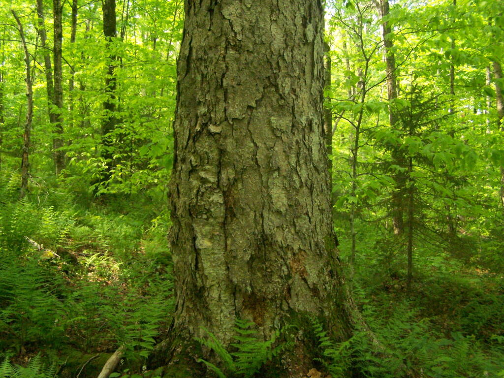
Old Growth Tree Up Close 🖼️
Download a JPEG Image of the Old Growth Tree Up Close.
Old Growth Tree Up Close ...
It was hard to get a good picture in the thick woods, mostly dominated by younger trees surrounding it.
Taken on Sunday May 29, 2011 at Piseco-Powley Road.

More about Piseco-Powley Road...
The 17-mile Piseco-Powley Road is a remote dirt route cutting through the Adirondack's Ferris Lake Wild Forest. It features 22 primitive roadside campsites, including four spots at Powley Place where the road crosses the West Branch of the East Canada Creek.
Download the PDF Map Pack with All Maps from Piseco-Powley Road.


")


