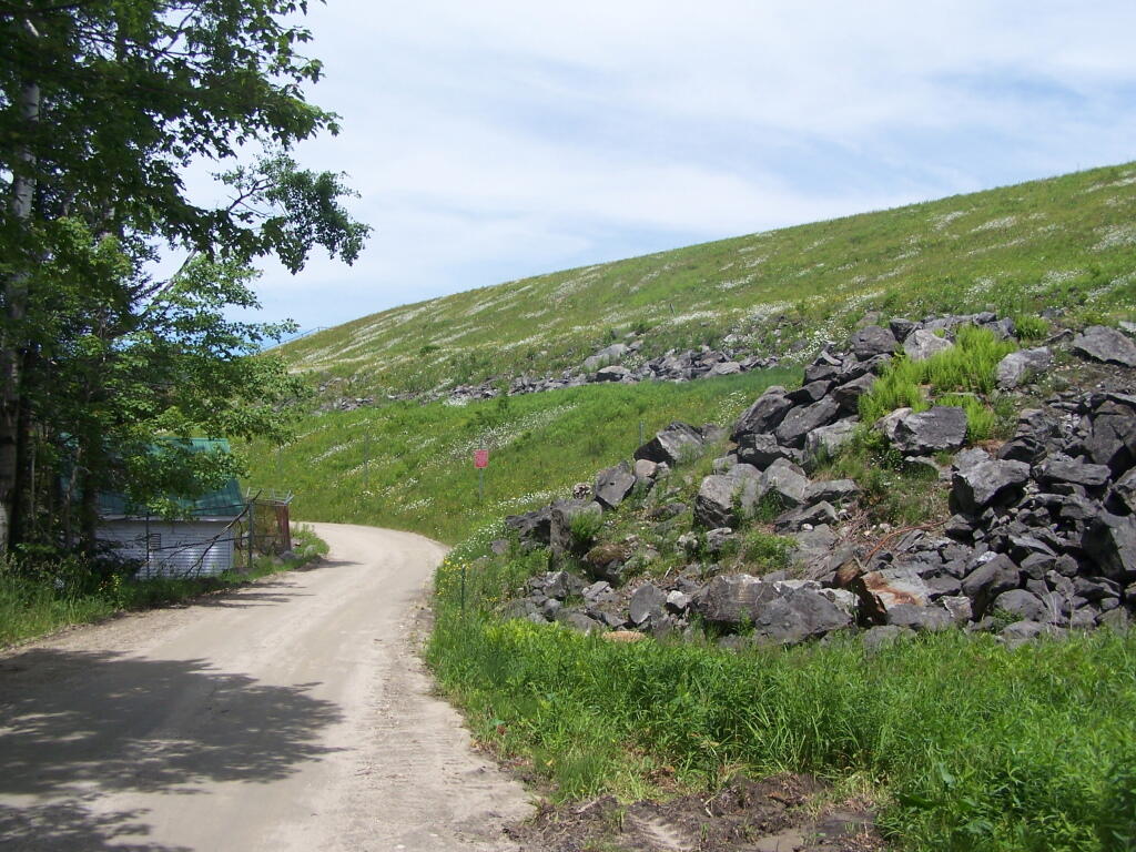
Massive Someset Reservior Dam 🖼️
Download a JPEG Image of the Massive Someset Reservior Dam.
Massive Someset Reservior Dam ...
This dam does not actually make any power, but instead is simple used to store water and control water levels downstream for the approximately 85 MW of various hydropower plants located downstream, along with providing a steady source of water to the long shuttered Rowe Nuclear Plant, the first commercial electric generating nuclear plant built in the United States. The circa 1961 Rowe Nuclear Plant in Masschussets produced roughly 185 MW before closing due to cracking in it's containment structure.
Taken on Sunday June 19, 2011 at Green Mountain National Forest.
More about Green Mountain National Forest...
Green Mountain National Forest is a national forest located in Vermont, a forest area typical of the New England/Acadian forests ecoregion. The forest supports a variety of wildlife, including beaver, moose, coyote, black bear, and white tailed deer. It also supports an abundant variety of bird species, such as wild turkey and ruffed grouse. The forest, being situated in Vermont's Green Mountains, has been referred to as the 'granite backbone' of the state.
The forest was established in 1932, as a result of uncontrolled overlogging, fire and flooding.[3] It consists of 399,151 acres (1,615.31 km2); and is the biggest contiguous land mass in the state. If Finger Lakes National Forest, which is managed as a unit of the Green Mountain National Forest, is included within it, GMNF is one of only two national forest northeast of the Pennsylvania-New Jersey barrier; the other being the White Mountain National Forest. Split into the southwest and central areas, GMNF has a total of eight wilderness areas. These were designated by Congress beginning with the Wilderness Act of 1964 to be areas off limits to mechanized gear down to and including bicycles.
http://en.wikipedia.org/wiki/Green_Mountain_National_Forest
http://www.fs.usda.gov/greenmountain
Download the PDF Map Pack with All Maps from Green Mountain National Forest.


")