Blinding Sun 🖼️
Download a JPEG Image of the Blinding Sun.
Blinding Sun ...
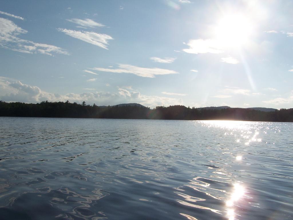
Heading West across the Lake, I was going directly in the path of sun at 7 PM. Even with sunglasses on, the sun was bright and painful, leading to a temporary sunblindness. I ended up tacking North-West then South-West to avoid the sun, and the choppiness of the water.
Taken on Thursday August 12, 2010 at Horseshoe Lake.

More about Horseshoe Lake...
Horseshoe Lake in Franklin County, is located about 15 miles south west of Tupper Lake. There are 6 campsites along the lake, plus 4 others on roads nearby. Near the Hitchens Pond put-in for Lows Lake, a popular spot for camping and paddling.


