Milk Jug 3 🖼️
Download a JPEG Image of the Milk Jug 3.
Milk Jug 3 ...
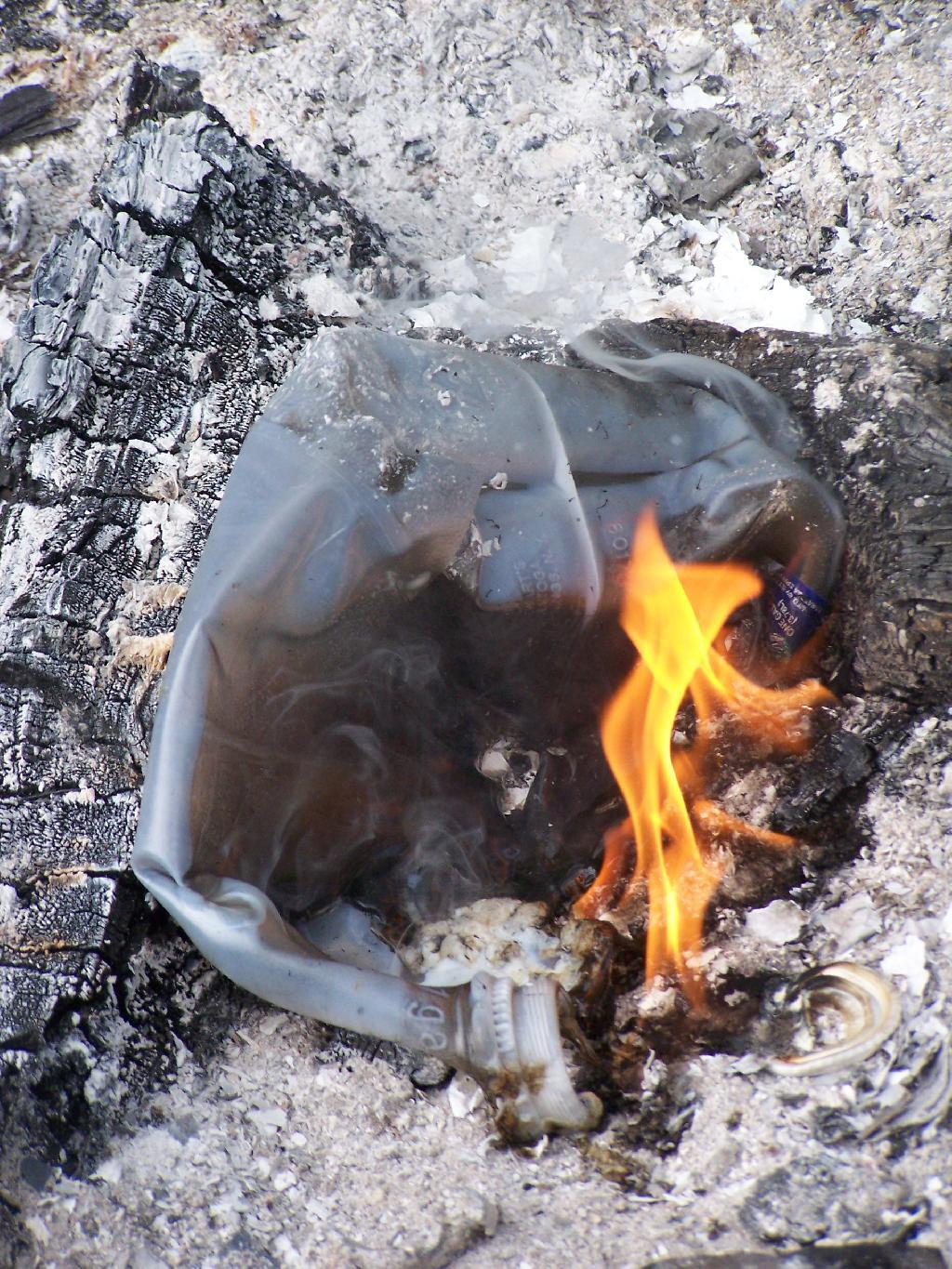
Milk jug collapses on itself.
Taken on Sunday August 15, 2010 at Fire.

More about Fire...


Download a JPEG Image of the Milk Jug 3.
Milk jug collapses on itself.
Taken on Sunday August 15, 2010 at Fire.