Paddling 🖼️
Download a JPEG Image of the Paddling.
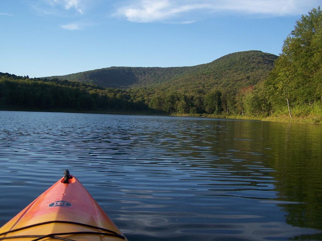
Paddling ...
The mountain in the background is Barkaboom Mountain. The place I camped was on the shore a little ways from here.
Taken on Saturday August 28, 2010 at Big Pond.

More about Big Pond...
At 50‐acre Big Pond, non‐motorized boats can be launched from the small parking lot. Several unmarked trails andmeadows connect a larger parking lot a few hundred feet to the south oft he lake. Big Pond is about one‐half mile north of the entrance road to Little Pond Campground on Barkaboom Road.
Download the PDF Map Pack with All Maps from Big Pond.


No Comments
We really love your page! Super informative and beautifully done. We have a small magazine about the Hudson Valley and Catskills and are working on a piece for our summer issue. Could we possibly feature this shot with credit to you? Best Melissa
VISITVortex.com
Sure, it’s fine to use it. It’s been a while since I’ve been up that way.