Rossman Fly and Rossman Valley Signs 🖼️
Download a JPEG Image of the Rossman Fly and Rossman Valley Signs.
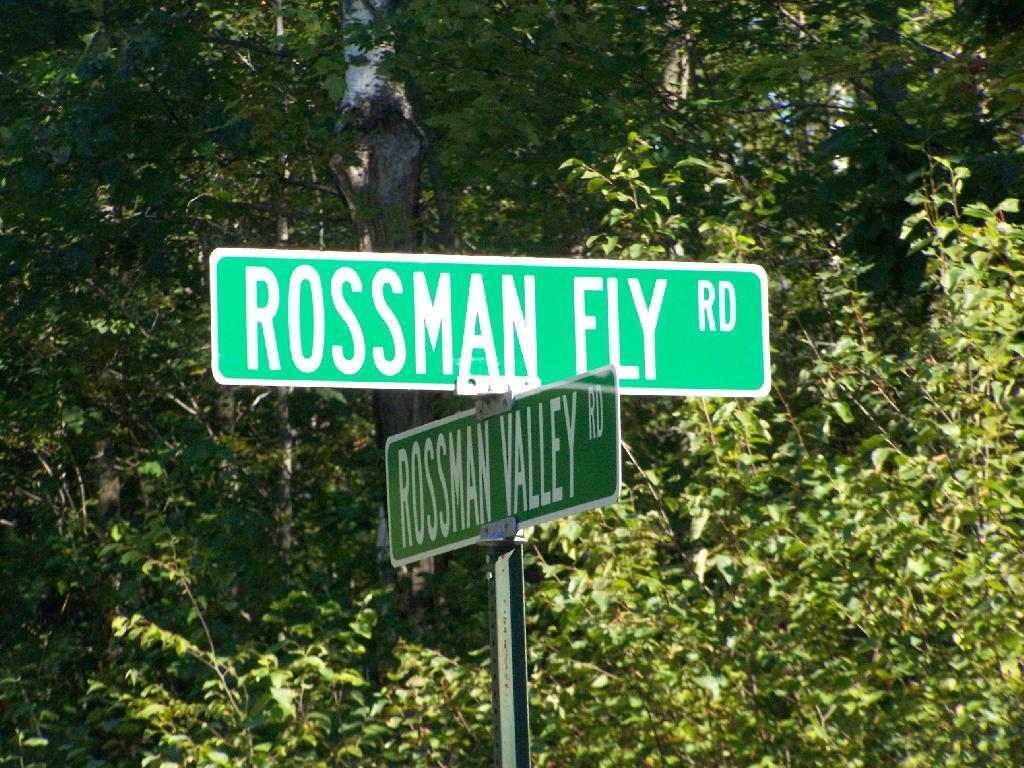
Rossman Fly and Rossman Valley Signs ...
There really is not a lot of road signs up here, just lots of unmarked rough dirt roads, with big posted signs along them to discourage the non-locals from coming up here and exploring.
Taken on Saturday August 28, 2010 at Mallet Pond State Forest.

More about Mallet Pond State Forest...
Mallet Pond State Forest is 2,567 acres of state land north of Burnt Rossman State Forest, outside of Fultonham. There are several informal campsites along the lakes that are popular during the summer months. Mallet Pond is most commonly fished for its trout. Special regulations apply. Some decent sized trout have been taken from this small pond. The pond is stocked annually with approximately 250 brown trout and 250 rainbow trout from 8-10" in length. Parking area at gated road off Rosseman Fly Road. Roughly a 0.3 mile walk from parking area to pond.
http://www.dec.ny.gov/outdoor/84886.html


