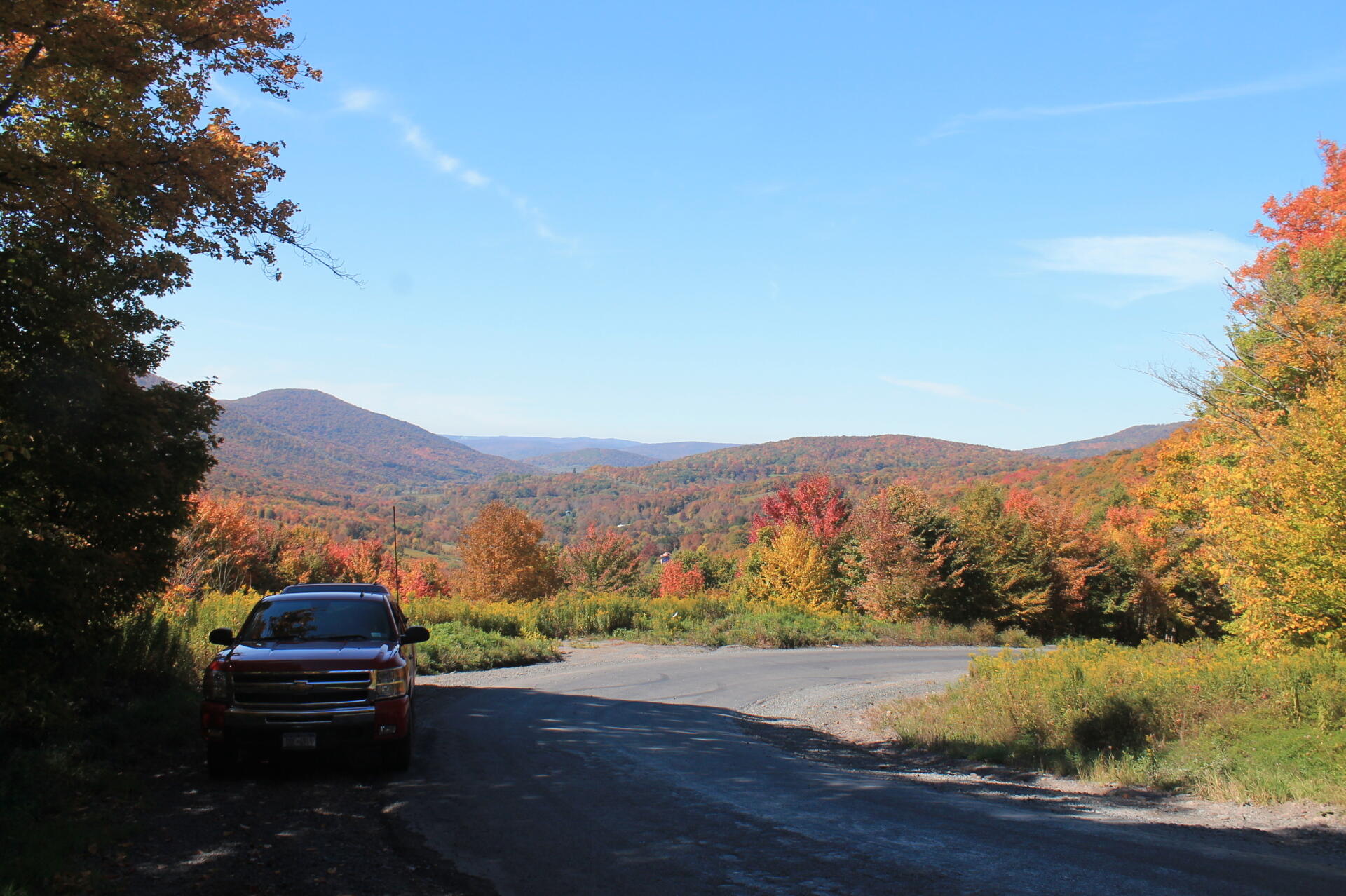
Hairpin Turn on Roxbury Mountain Road 🖼️
Download a High Resolution JPEG Image of the Hairpin Turn on Roxbury Mountain Road or an Adobe Acrobat Printable PDF of the Hairpin Turn on Roxbury Mountain Road.
Hairpin Turn on Roxbury Mountain Road ...
Taken on Sunday September 28, 2014 at Delaware County.

More about Delaware County...
Delaware County is a county located in the US state of New York. As of 2010 the population was 47,980.
Delaware County is located in the southern part of the state, separated from the state of Pennsylvania by the Delaware River. It is east of Binghamton and southwest of Albany. The county contains part of the Catskill Mountains. The county is within a region called the Southern Tier of New York State.
The highest point is an approximately 3,520-foot (1,073 m) summit of Bearpen Mountain along the Greene County line. The lowest point is along the Delaware River. The county is drained by the headwaters of the Delaware. It has a hilly surface, and the soil in the valleys is exceedingly fertile. The Delaware and Susquehanna rivers are here navigable by boats.
http://en.wikipedia.org/wiki/Delaware_County,_New_York


