Little Stone Bridge 🖼️
Download a JPEG Image of the Little Stone Bridge.
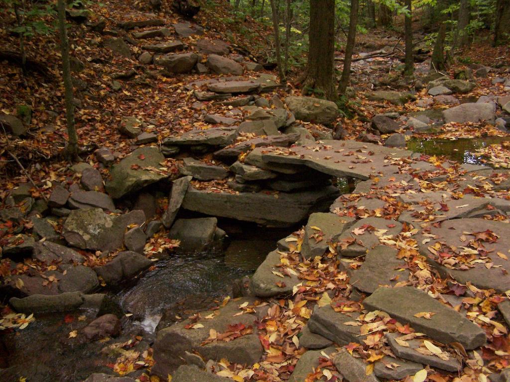
Little Stone Bridge ...
The forest ranger or person who created this little stone bridge did a real nice job. While not seen in the picture, the creek is carefully channeled to try to avoid spring floods from washing out the bridge.
Taken on Monday October 5, 2009 at Indian Head Mountain.

More about Indian Head Mountain...
The Indian Head loop hike climbs nearly 2,000 feet to the summit of Indian Head Mountain, with spectacular views.
With numerous ledges and overlooks as you head down the east side of Indian Head Mountain, this is a part of Devil's Path not to beat. I nice hike, but be prepared for a steep descent as you head down the mountain. Like most of the Catskills, for the best view, and easiest hike, head up the west side of the mountain from Jimmy Dolan Notch then come down the east side.
On the east side, along a small creek, there is an older but well used lean-to. Access is off of Platte Clove Road, look for the second to last signs for parking, before heading down into the gorge on this steep but beautiful road. It's a particularly nice hike in the autumn, especially on weekdays when there aren't the crowds on the mountain.
https://hikethehudsonvalley.com/hikes/indian-head-mt-and-twin-mt/
http://www.catskillmountaineer.com/IH-indianhead.html
https://www.nynjtc.org/hike/indian-head-mountain-loop
Download the PDF Map Pack with All Maps from Indian Head Mountain.


