Camp 🖼️
Download a High Resolution JPEG Image of the Camp or an Adobe Acrobat Printable PDF of the Camp.
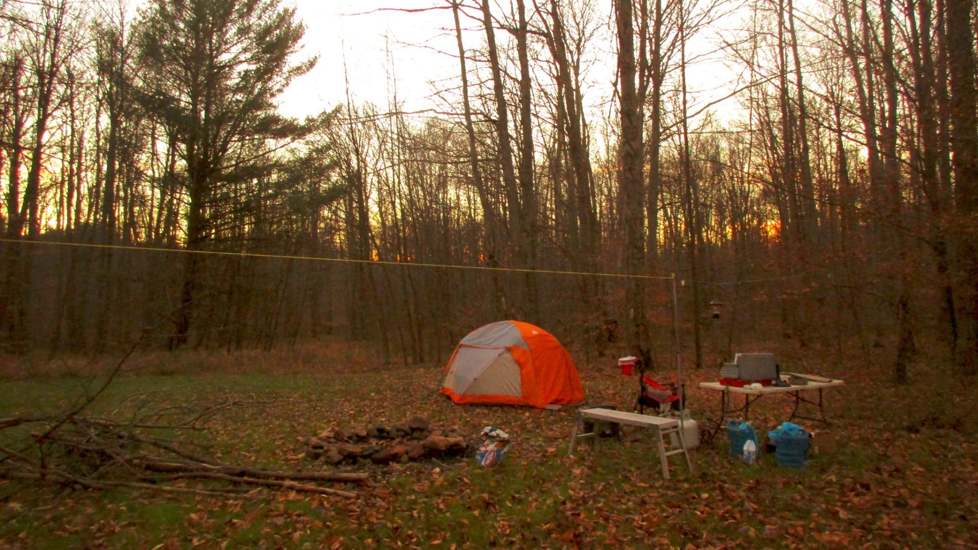
Camp ...
This campsite located west of Buzzard Swamp on south of Lamonaville on Loleta Grade Road, offers a real wilderness experience on a large open campsite -- but has excellent cell services for those wanting to work remotely or just watch a video on their phone. Definitely check outside the campsites on Lamonaville Road along the Gurgling Run, which in recent years have been improved with hardened gravel pads and other enhancements by the Forest Service.
Do note that section of Loleta Grade Road along the East Branch of Millstone Creek is permanently closed since Superstorm Sandy, so you will need to access this area from Lamonaville or Forest Road 287 from Belltown/Millstone.
Taken on Monday November 21, 2016 at Allegheny National Forest.

More about Allegheny National Forest...
The Forest Service brought new concepts in forest management to the Allegheny Plateau -- multiple benefits and sustainability. The Organic Act of 1897 introduced the National Forest mission: to improve the forest, provide favorable conditions for water flows, and furnish a continuous supply of wood to meet people's needs. On these lands, seedlings for tomorrow's forest are the focus of forest management activities. Watersheds are managed to ensure clear water for fisheries like trout and clean drinking water for all.
Over time, various laws added other benefits like wilderness, heritage resources and grazing to the original ideas of watershed protection and continuous wood supply. The Multiple Use-Sustained Yield Act of 1960 recognized outdoor recreation and habitat for wildlife and fisheries.
The motto "Land of Many Uses" captures the National Forest goal of a healthy, vigorous forest that provides wood products, watershed protection, a variety of wildlife habitats and recreational opportunities -- not only for us today, but in a sustainable way so future generations can enjoy these benefits, too.
http://www.fs.usda.gov/allegheny/
Download the PDF Map Pack with All Maps from Allegheny National Forest.


