Looking Out the Lean-To 🖼️
Download a JPEG Image of the Looking Out the Lean-To.
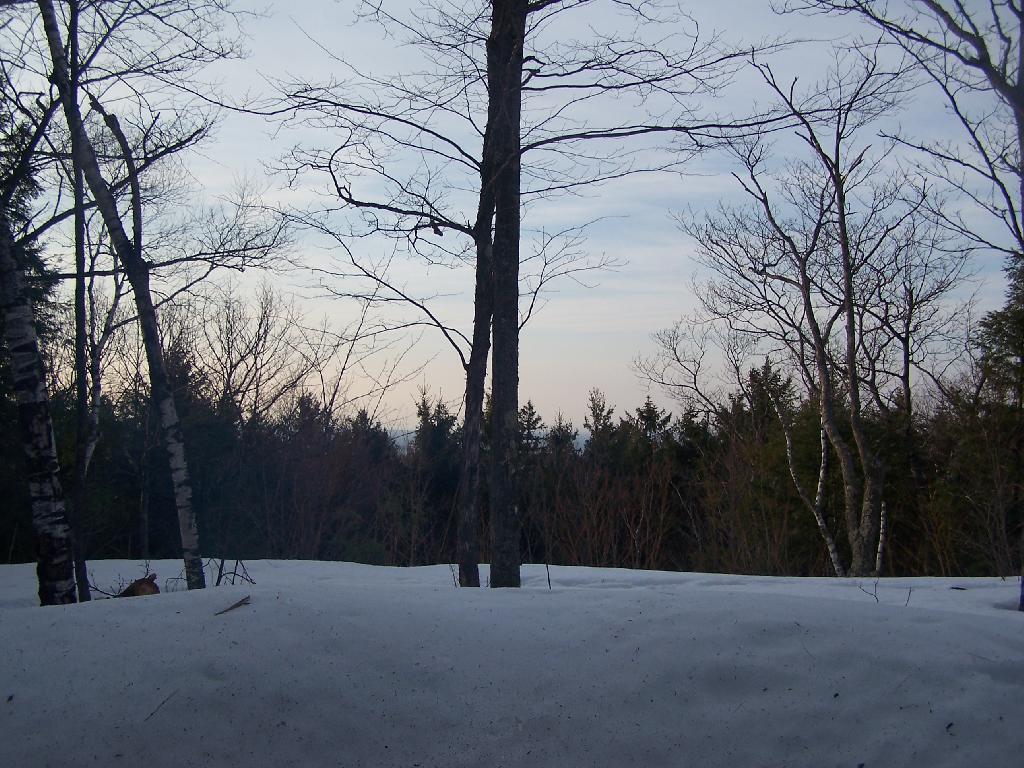
Looking Out the Lean-To ...
There was about a four-feet snow bank outside of the lean-to, from where the snow had melted off the roof, and piled up. It was good, because it limited the breezes blowing into the lean-to.
Taken on Saturday March 20, 2010 at Dutch Settlement State Forest.

More about Dutch Settlement State Forest...
Consisting of one of the highest hills above the Schoharie Valley, the 860-acre Dutch Settlement State Forest is crossed by the Long Path and has a lean-to, off of Treadlemire Road in Middleburgh. The village of Middleburgh is roughly 5 miles down Cotton Hill Road from here.
Cotton Hill State Forest is nearby Dutch Settlement State Forest and is commonly confused -- as the summit of Cotton Hill is in Dutch Settlement State Forest and not Cotton Hill State Forest, which was acquired first. Part of the long path runs along Cotton Hill State Forest.


