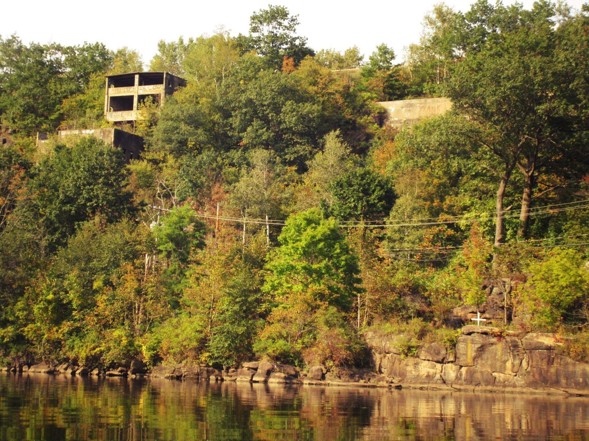
Old Mill 🖼️
Download a High Resolution JPEG Image of the Old Mill or an Adobe Acrobat Printable PDF of the Old Mill.
Old Mill ...
Taken on Saturday September 16, 2017 at Little Falls.

More about Little Falls...
Little Falls is a city in Herkimer County, New York, United States. The population was 4,946 at the 2010 census.. The city is built on both sides of the Mohawk River, at a point at which rapids had impeded travel upriver. Transportation through the valley was improved by construction of the Erie Canal, completed in 1825 and connecting the Great Lakes with the Hudson River.
https://www.wikiwand.com/en/Little_Falls_(city),_New_York


