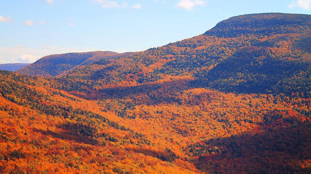
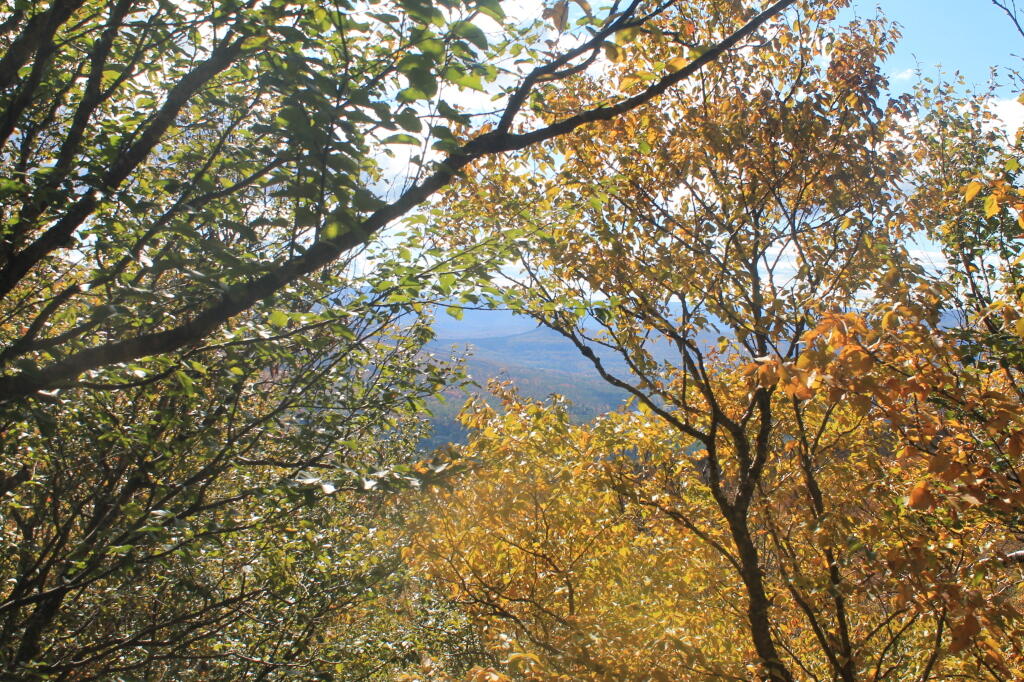
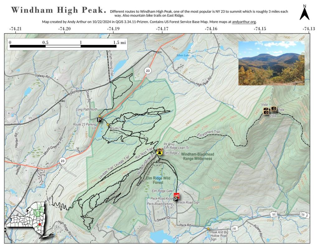
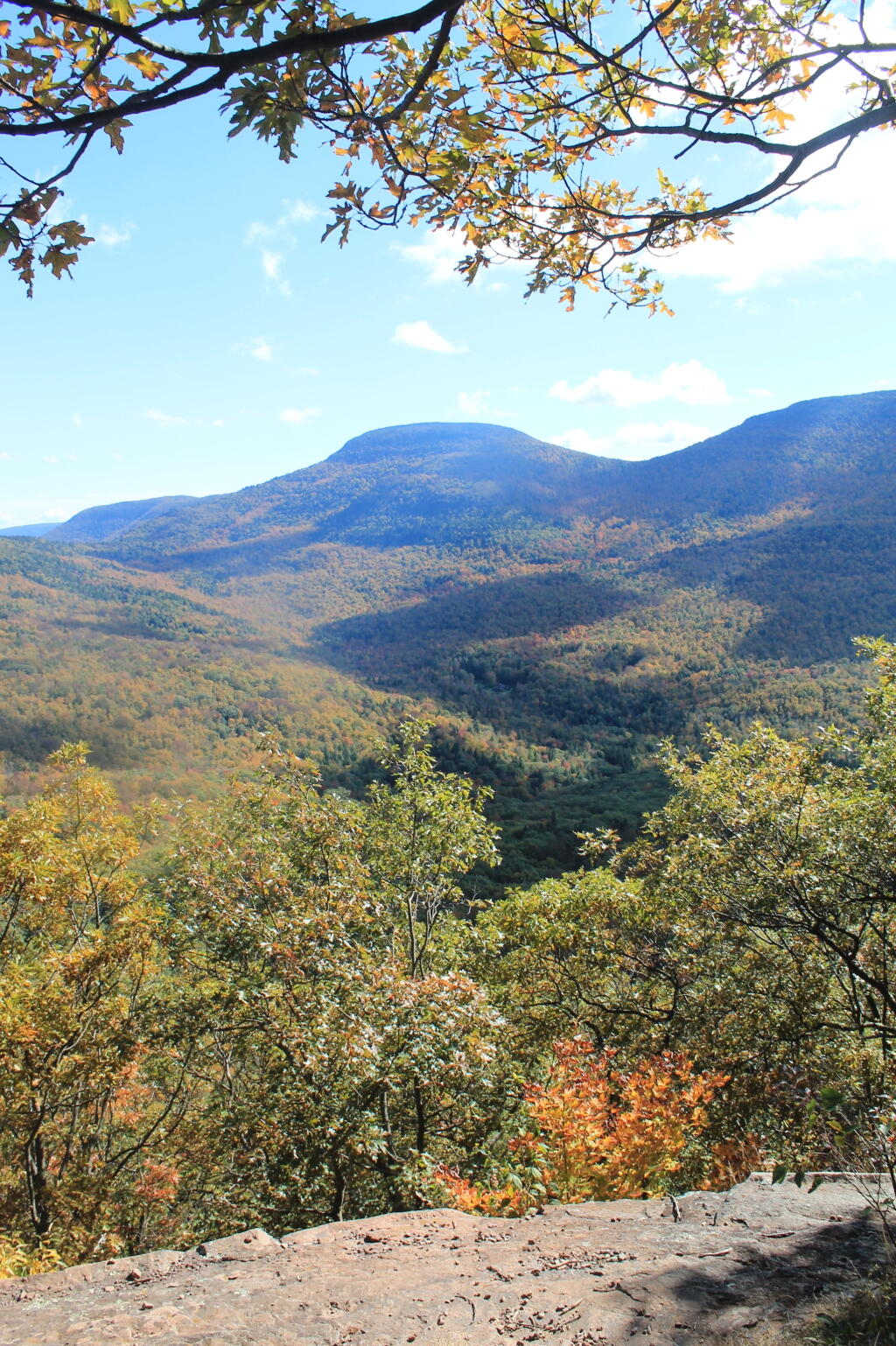
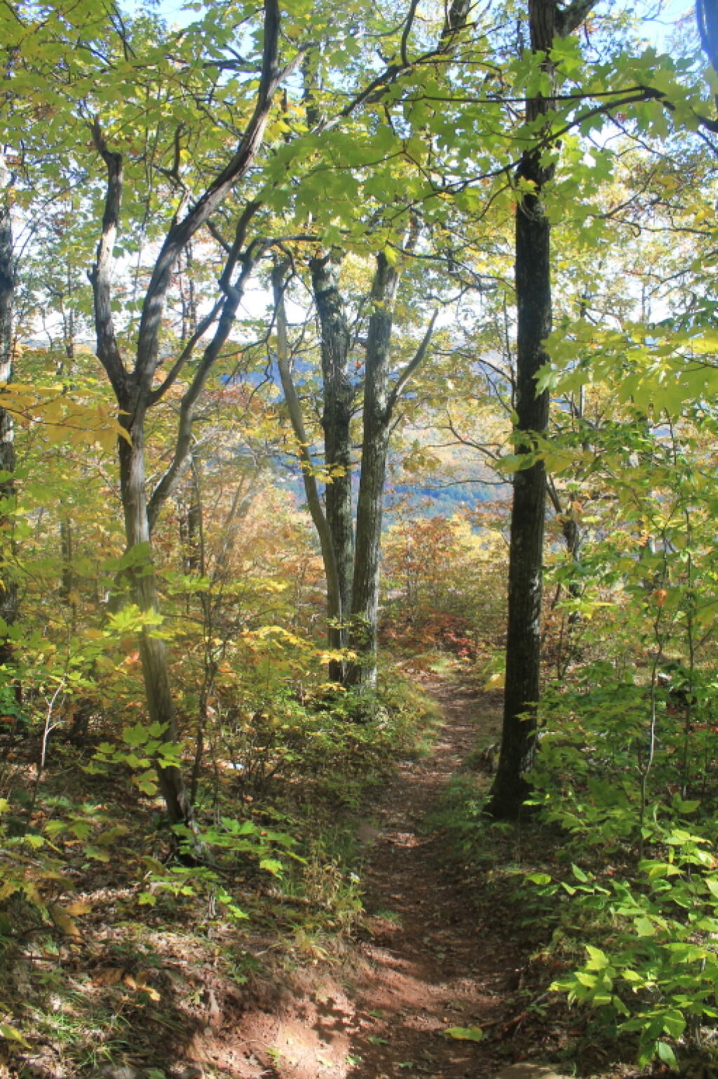
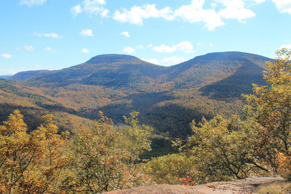
A 3,100 feet peak located between Windham High Peak and Acra Point (the blue trail aka Long Path crosses both), offers views of the Big Hollow, the Blackhead Mountains, along with limited views of Northeast of Catskill Mountains, including Greenville, the Hudson River, and Albany on a clear day.