
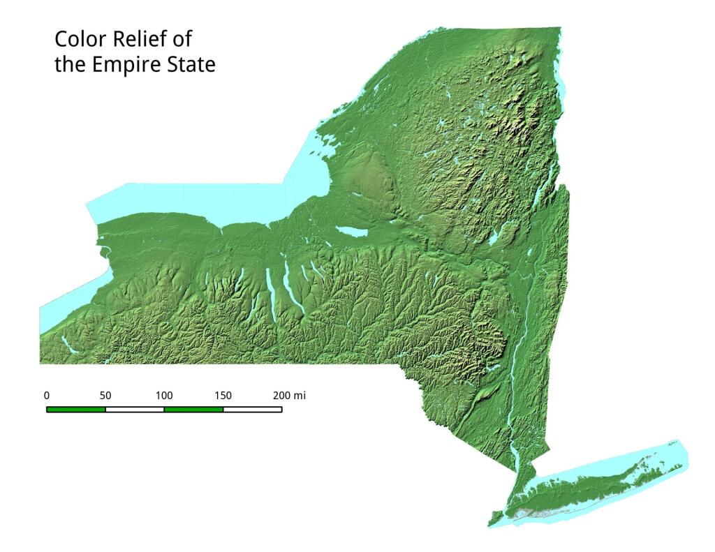
Saint Johnsville

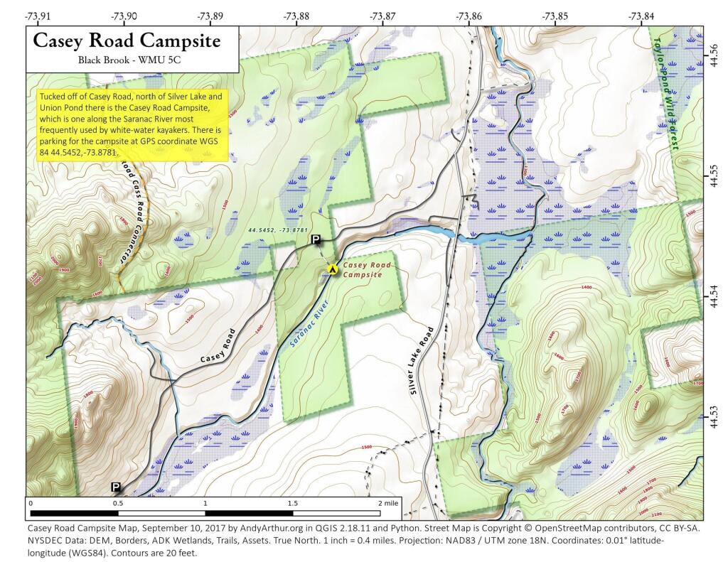

WIthin 25 Miles of the Barge Canal.svg.svg
Not sure if the latest Census numbers agree with the 85% number often bandied around, but it depends what you define Upstate as and what part of the canal system you consider the Erie Canal.
