Catskill Park, 1970
Catskill Map - NYSDEC, 1970
Cadastral map of the Catskill Park, produced for New York State Department of Environmental Conservation to illustrate the general location of New York State lands.
https://mapwarper.net/maps/44107#Preview_Rectified_Map_tab
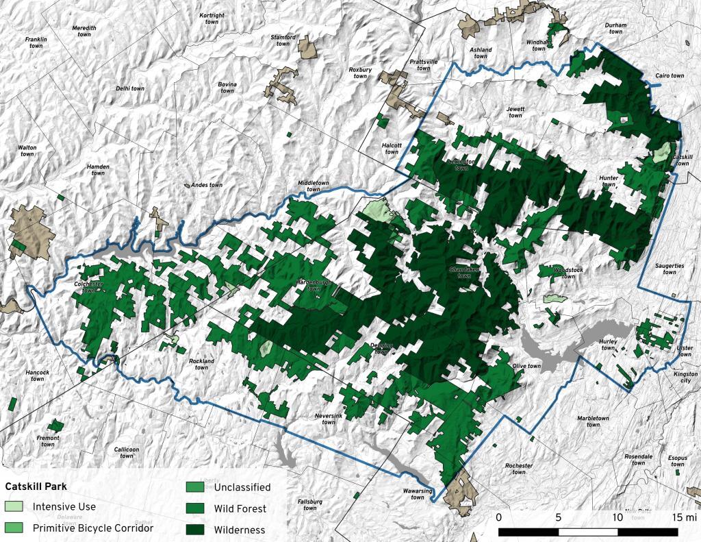
For comparison sake, on the base map is also shown State Lands in Green to show properties acquired by the state in the past fifty years.