To Discourage Erosion
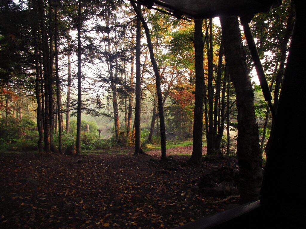
As you can see, I added several large rocks and continued to add dirt after this picture was taken, to further improve the access to this campsite.
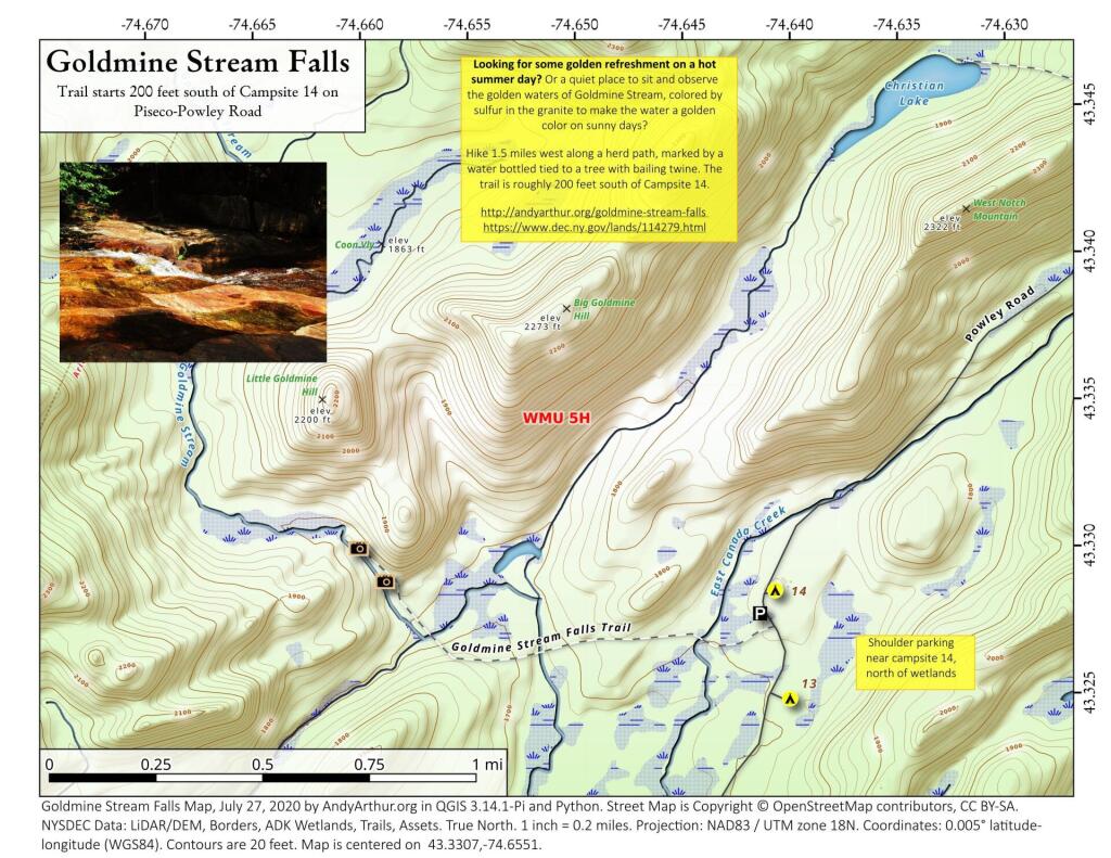
Saturday July 25, 2020 — Piseco-Powley Road — Big Alderbed Lake Trail 🗺 — Clockmill Corners to NY 10 🗺 — Edick Road Swimming Hole 🗺 — Goldmine Stream Falls 🗺 — House Pond Trail 🗺 — Lower Powley Bridge to Sugarbush Mountain 🗺 — Meco Lake Trail (Piseco-Powley Road) 🗺 — Overview Map Piseco-Powley Road 🗺 — Piseco Road Swimming Holes 🗺 — Powley Place - East Canada Creek - Kayak Canoe 🗺 — Sand Lake 🗺 — Sand Lake Trail 🗺 — Sugarbush Mountain to Clockmill Corners 🗺— PDF with All Maps 📚Big Alderbed Lake Trail
There is an old snowmobile trail/woods road by the Powley Place Bridge, that extends 2.5 miles west to Big Alderbed, that takes you to a wire crossing over the East Branch. The trail follows the East Branch for a short distance, then heads back into an interesting Old Growth Forest with a lot of big trails. To reach Big Alderbed -- which is largely drained wetland due to a failed dam -- you have to bushwhack along the stream to the mouth of the wetland.
Camping at Campsite 12
Sand Lake
Sand Lake is a 1/3rd of a mile away from Piseco Powley Road. The trail is somewhat overgrown and marshy, so a paddle cart won't work for well for carrying a boat back here, but with another person you should be able to get back here.