
North Syracuse 1958
Before the Penn Can Maul, Interstate 481 and other changes, North Syracuse was a much simplier and quiter suburb of Syracuse.

North Syracuse Cloverleaf
False color image of the intersection of Interstate 81 and 481 which becomes arterial highway NY 481 west of the cloverleaf in North Syracuse.

Big Bend in LaFayette
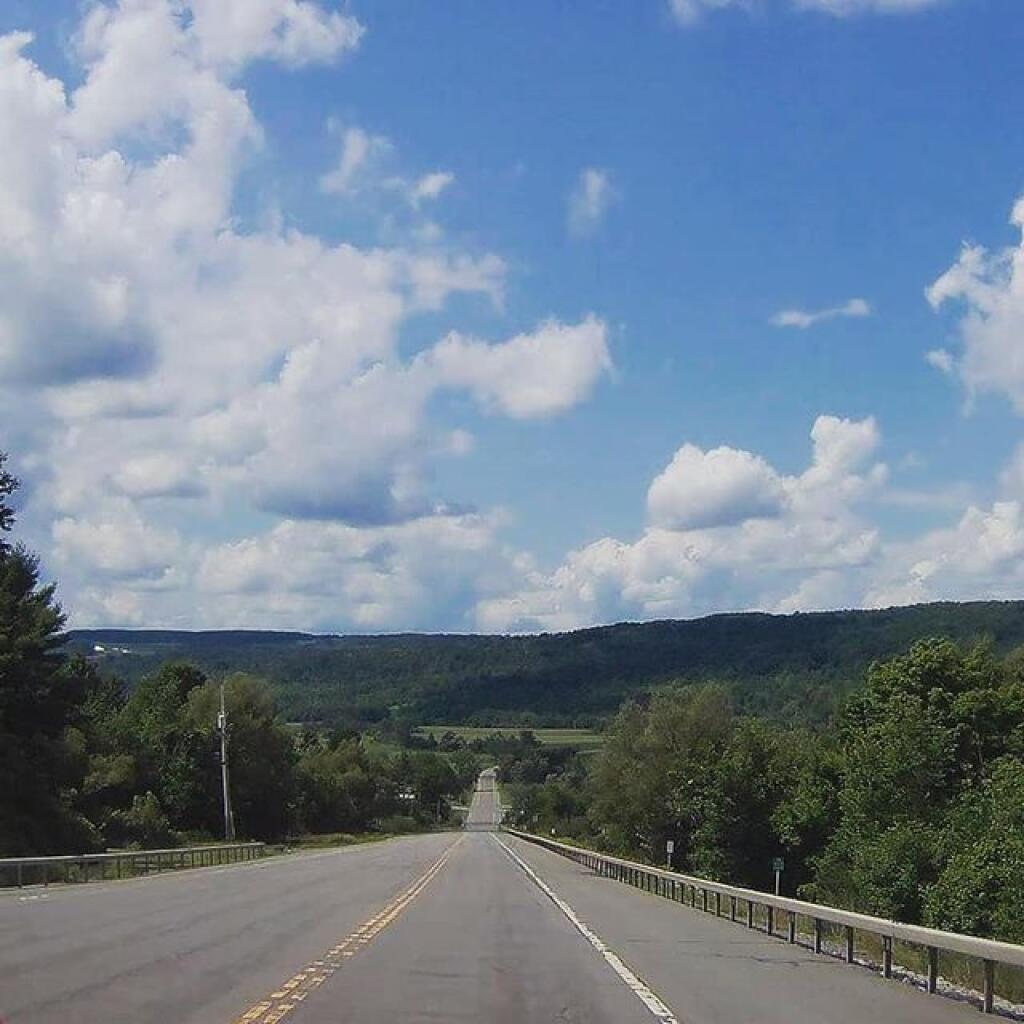
Big Bend, where US 20 takes a sharp turn to the south to make the steep hills the road must climb a little less steep.

US 20 at Big Bend