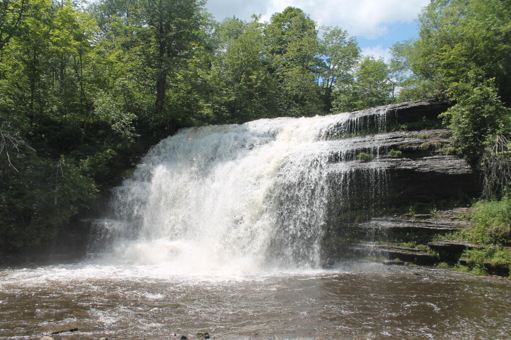
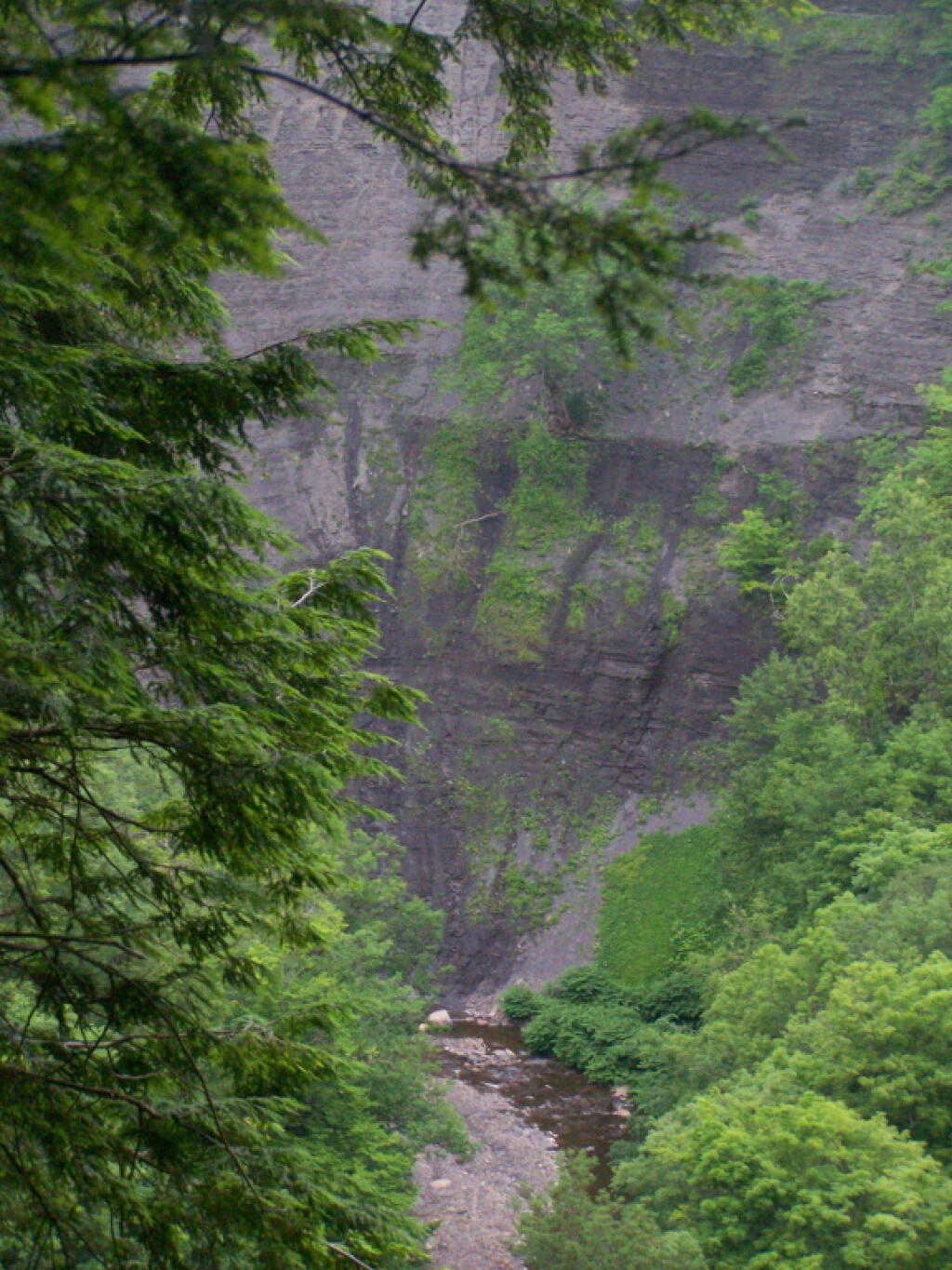
🗺️ Maps 🖼️ Photos
Map: Bear Creek State Forest
Map: West Parishville State Forest

Inman Gulf

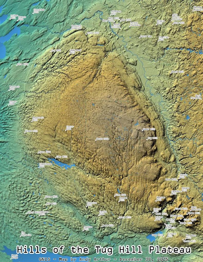
Continuing to play with the Leaflet layers and CSS to use the multiply effect to create beautiful overlays of LiDAR and other digital elevation models for blog maps.

Thematic Map: Cedar River Flow Campsites
Map: Shelving Rock Road and Dacy Clearing Road
Map: Taylor Valley State Forest