Outside Edmenston 🖼️
Download a High Resolution JPEG Image of the Outside Edmenston or an Adobe Acrobat Printable PDF of the Outside Edmenston.
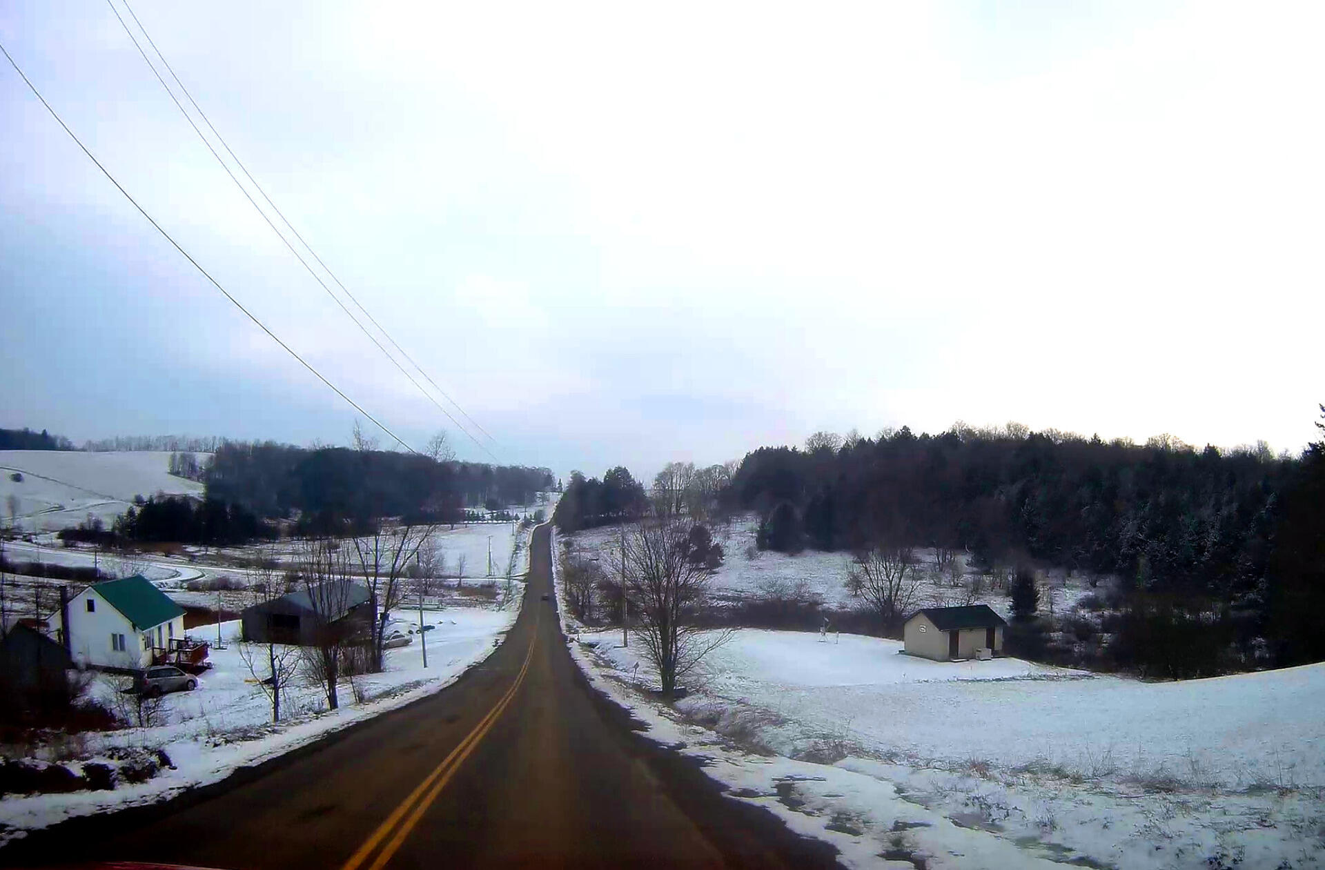
Outside Edmenston ...
Taken on Tuesday January 1, 2019 at Madison County, NY.

More about Madison County, NY...
Madison County, situated in central New York State, is home to a population of 73,442 as per the 2010 census. This county is a pivotal part of the Syracuse, NY Metropolitan Statistical Area. Positioned east of Syracuse, slightly north of Binghamton, and west of Albany, Madison County holds the honor of housing the state's geographic center in Pratts Hollow, within the Town of Eaton. With Oneida Lake and Oneida Creek framing part of its northern border and Chittenango Creek defining the western boundary, Madison County boasts picturesque landscapes.
This page focuses on free camping opportunities on state land within Madison County, extending an invitation for outdoor enthusiasts to explore the region's diverse offerings, including hiking, biking, kayaking, and various outdoor pursuits.
Download the PDF Map Pack with All Maps from Madison County, NY.


