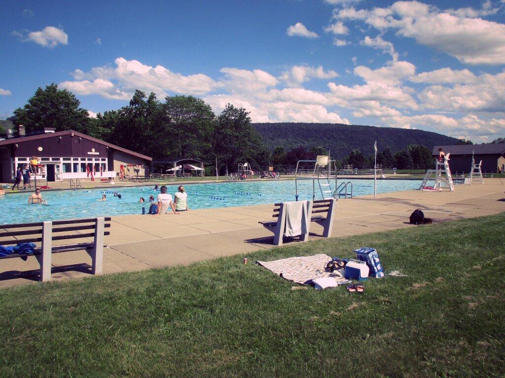
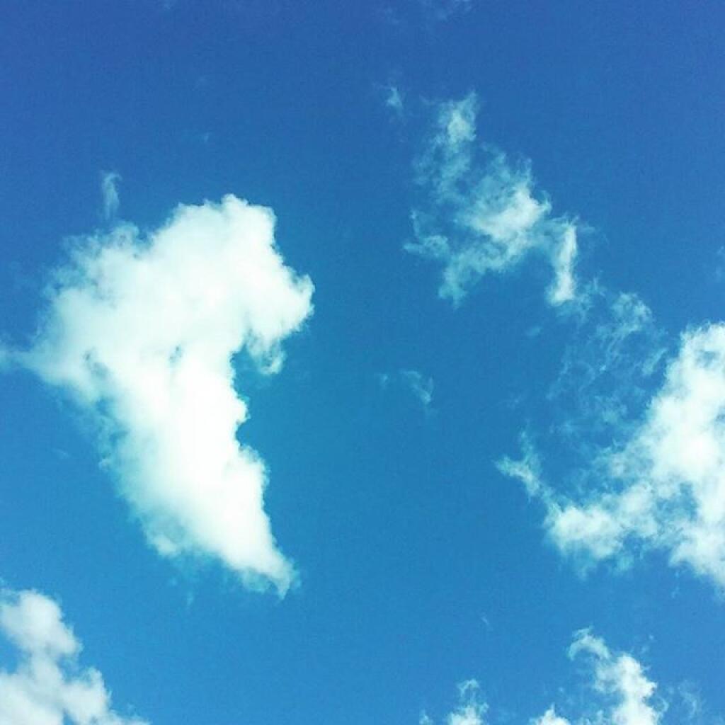
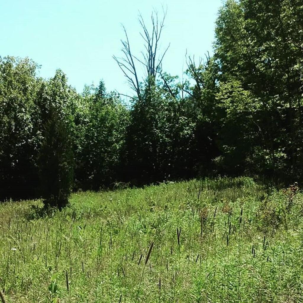
Midsummer day 🖼️
Download a JPEG Image of the Midsummer day.
Midsummer day ...
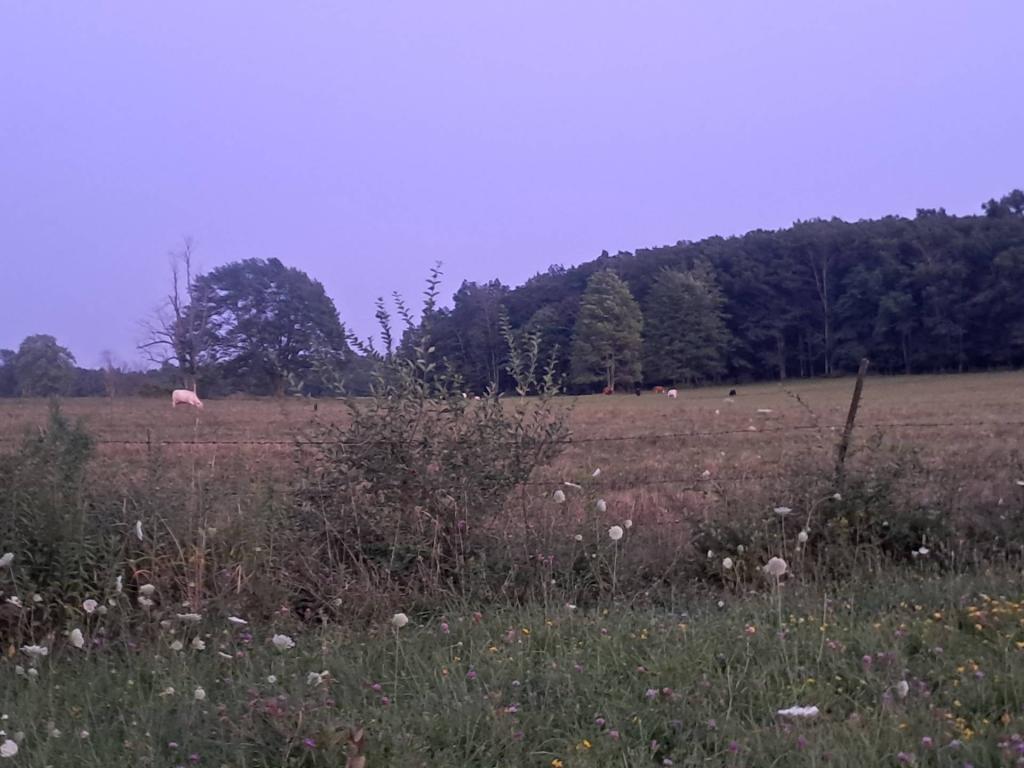
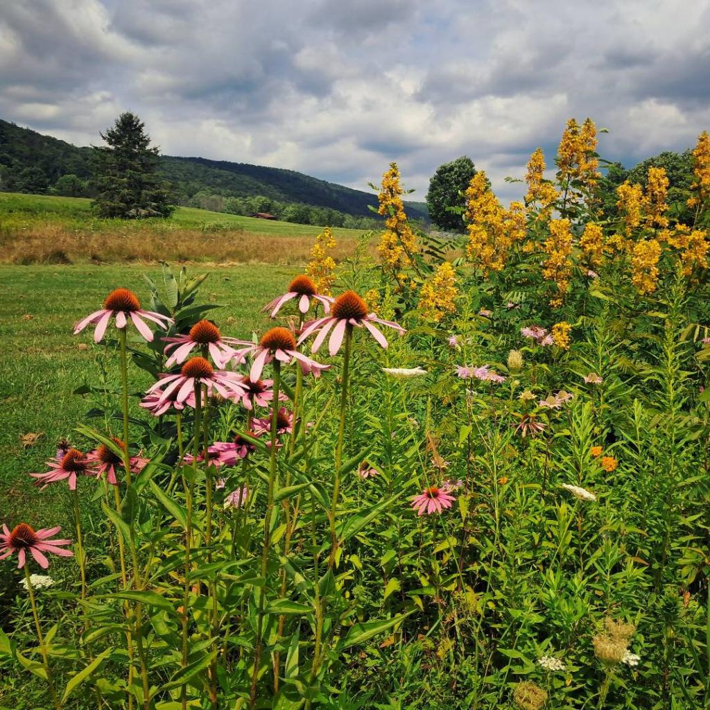
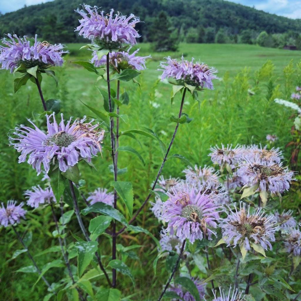
Taken on Saturday July 13, 2019 at Mine Kill State Park.
More about Mine Kill State Park...
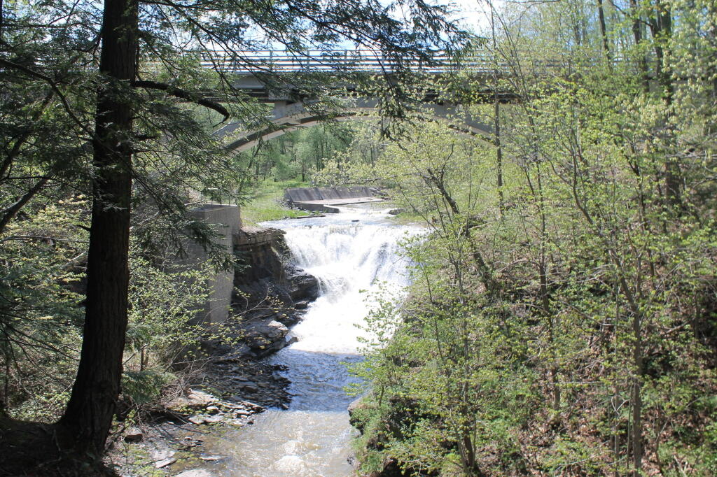
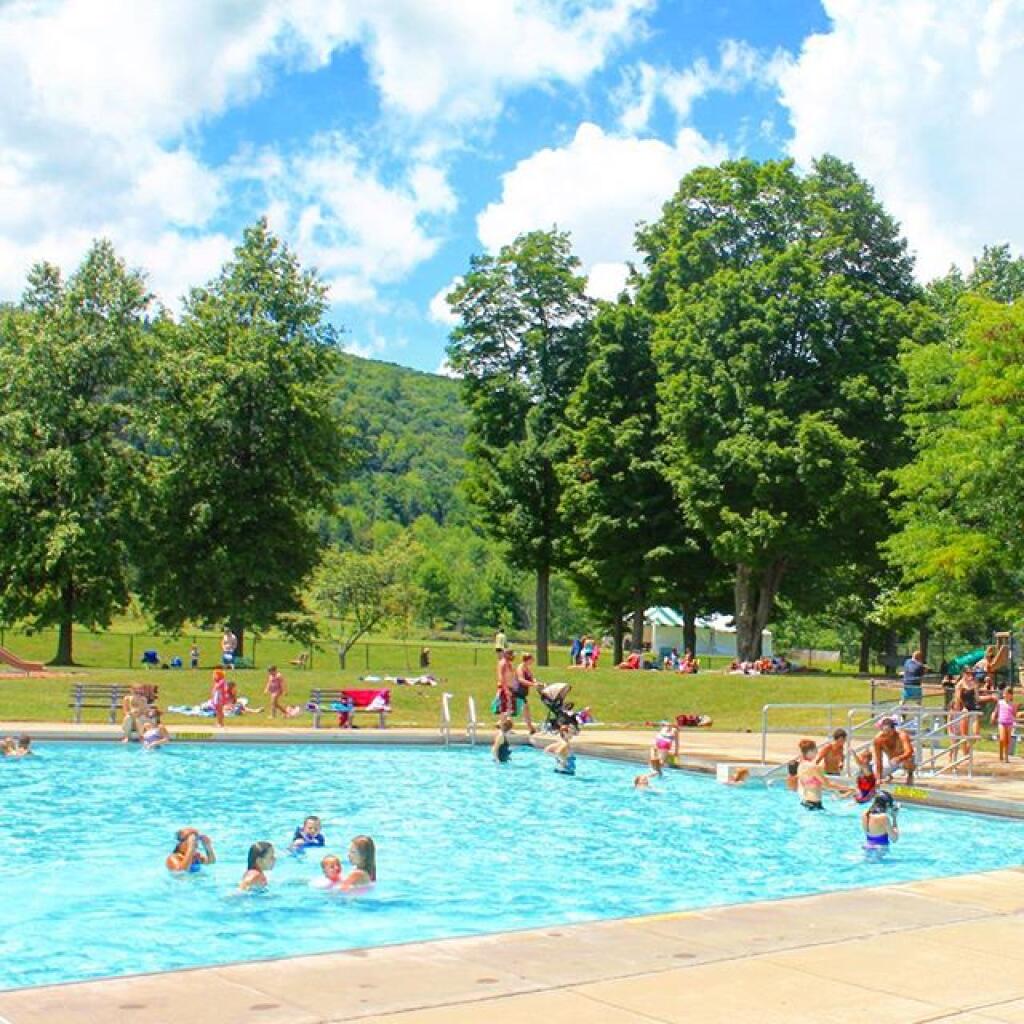
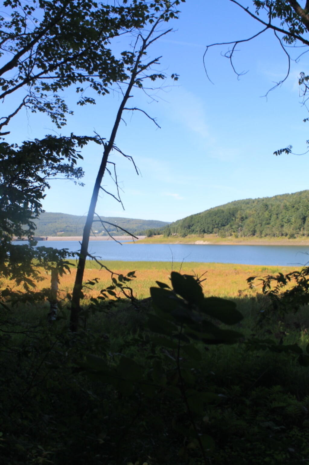
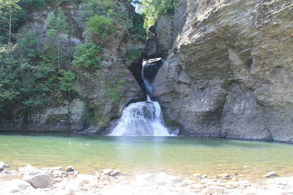
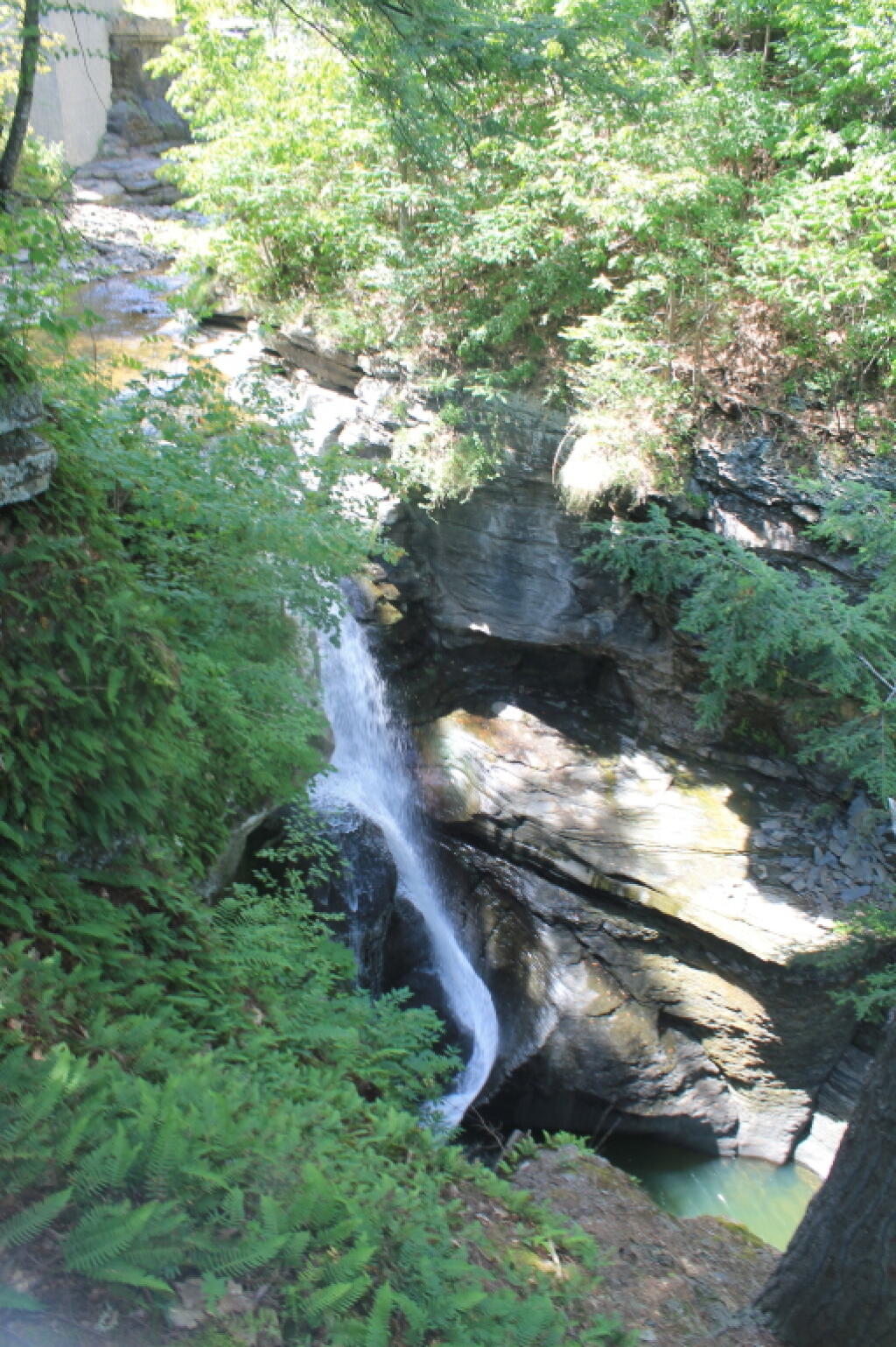
Mine Kill State Park, nestled in the picturesque Schoharie Valley, provides a scenic vantage point overlooking the Blenheim-Gilboa Pumped Storage Power Project by the NY Power Authority. The lower reservoir is a fishing haven, stocked with trout, walleye, bass, and more, catering to motor boating, kayaking, and water skiing. The park features an Olympic-sized pool, wading pool, and diving pool, free for the public to use (no fees are collected at this park due to hydro plant subsdies). Swim lessons are available in summer. Warm weather pursuits include hiking, mountain biking on the 8-mile trail network, and soccer on regulation fields. The park's namesake, Mine Kill Falls, an 80-foot cascade through a gorge, is accessible via overlook platforms and the Long Path trail. Winter brings snowshoeing, cross-country skiing, and snowmobiling opportunities.