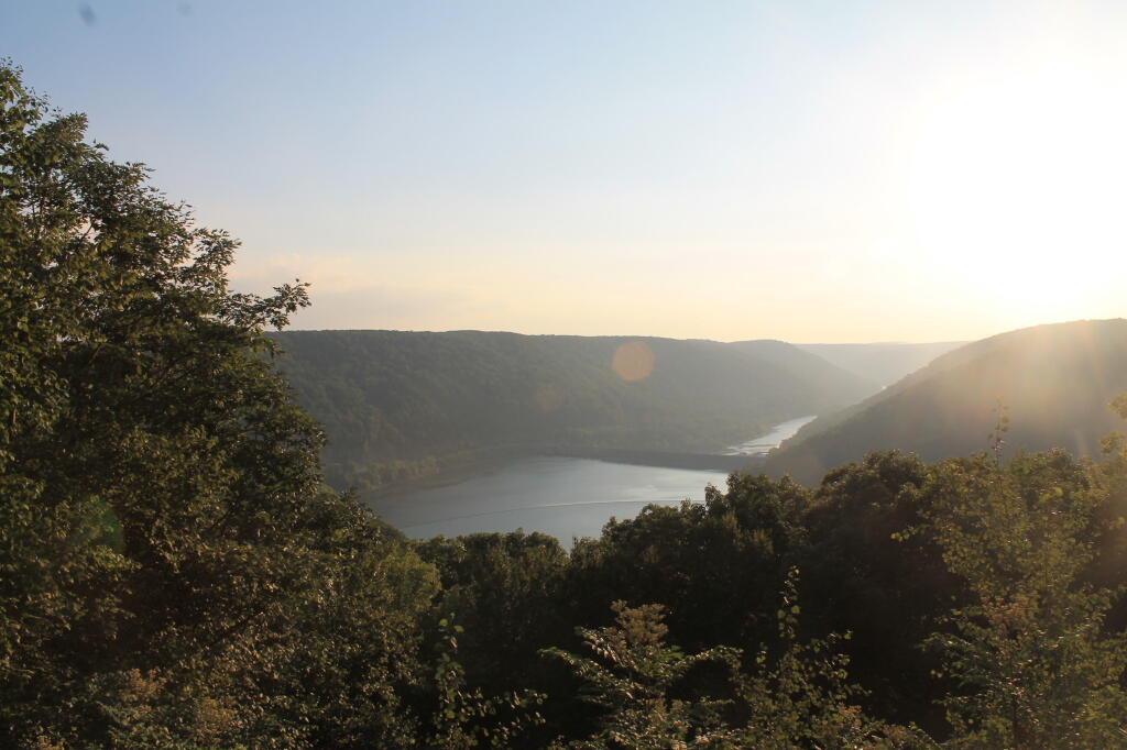
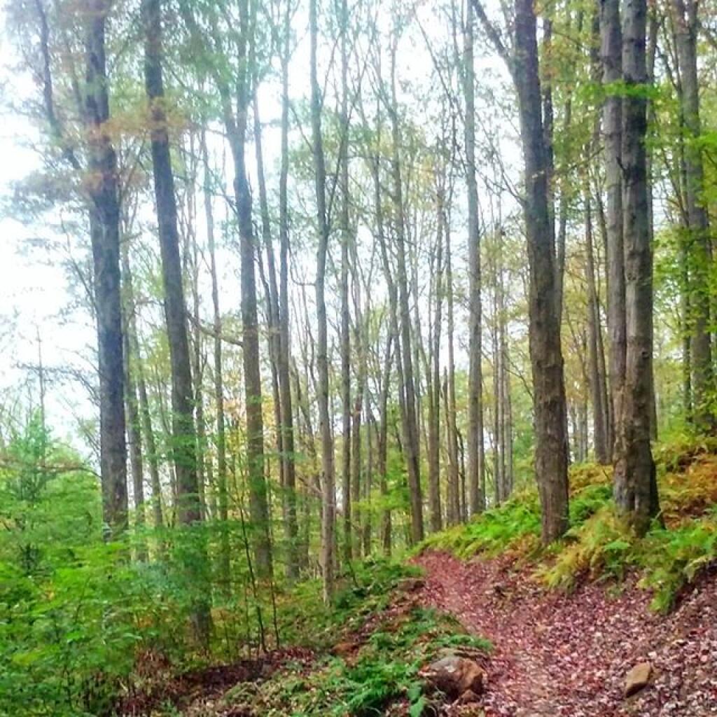
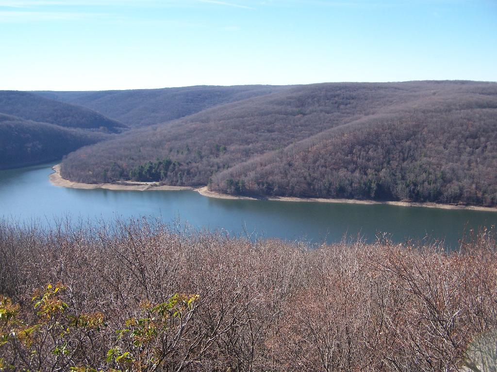
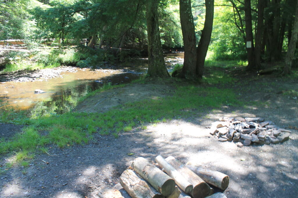
I hiked a ways out on the Cornplanter Bridge. But the 3 foot jersey barrier, 75 feet above the water and two foot shoulder with truck traffic made me turn around 🖼️
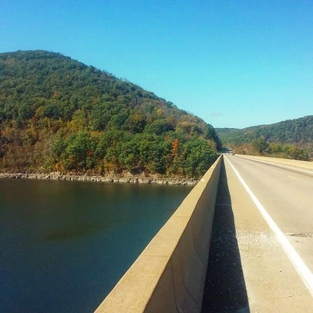
I hiked a ways out on the Cornplanter Bridge. But the 3 foot jersey barrier, 75 feet above the water and two foot shoulder with truck traffic made me turn around ...
Taken on Tuesday October 8, 2019 at Allegheny National Forest.
More about Allegheny National Forest...
The Forest Service brought new concepts in forest management to the Allegheny Plateau -- multiple benefits and sustainability. The Organic Act of 1897 introduced the National Forest mission: to improve the forest, provide favorable conditions for water flows, and furnish a continuous supply of wood to meet people's needs. On these lands, seedlings for tomorrow's forest are the focus of forest management activities. Watersheds are managed to ensure clear water for fisheries like trout and clean drinking water for all.
Over time, various laws added other benefits like wilderness, heritage resources and grazing to the original ideas of watershed protection and continuous wood supply. The Multiple Use-Sustained Yield Act of 1960 recognized outdoor recreation and habitat for wildlife and fisheries.
The motto "Land of Many Uses" captures the National Forest goal of a healthy, vigorous forest that provides wood products, watershed protection, a variety of wildlife habitats and recreational opportunities -- not only for us today, but in a sustainable way so future generations can enjoy these benefits, too.
http://www.fs.usda.gov/allegheny/
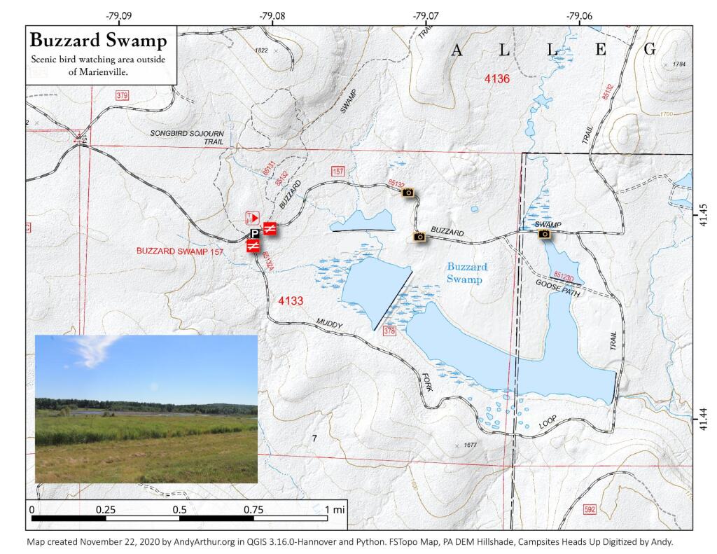
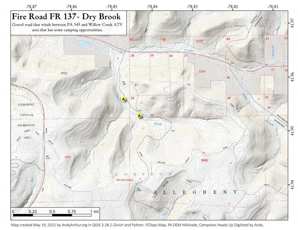
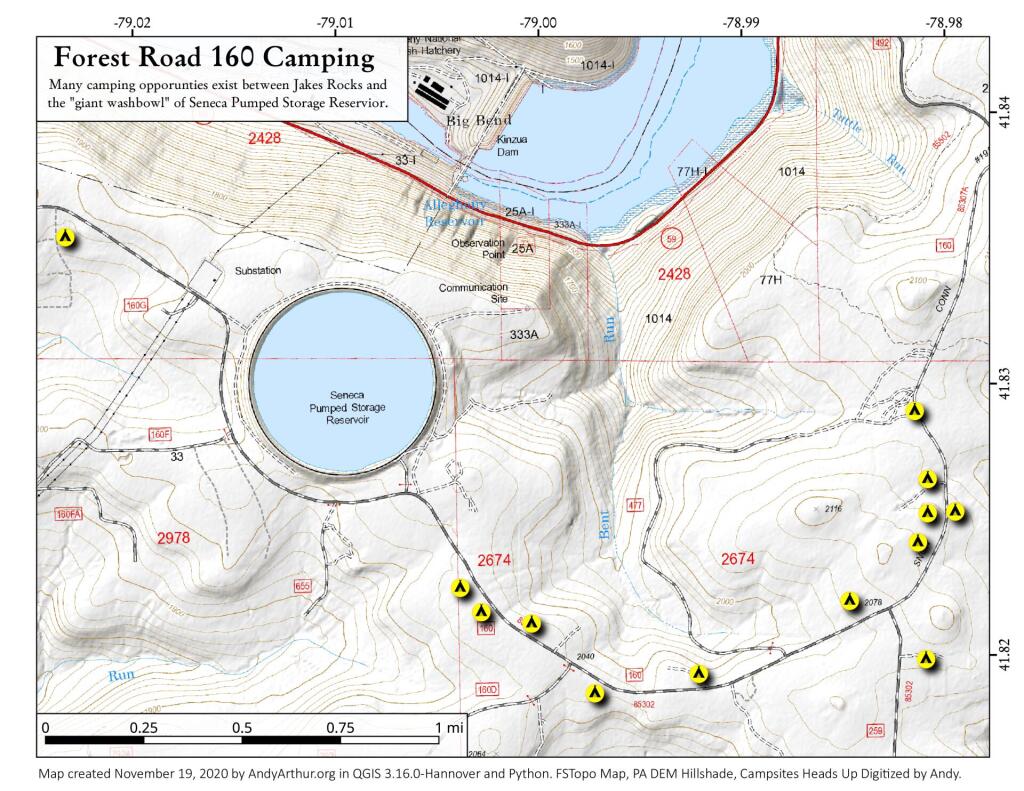
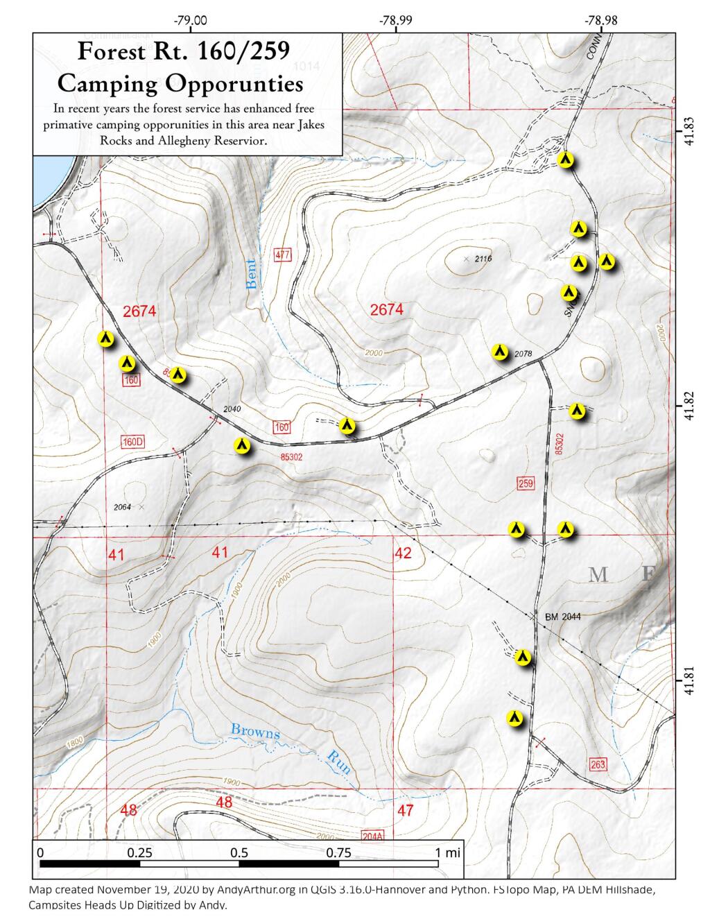
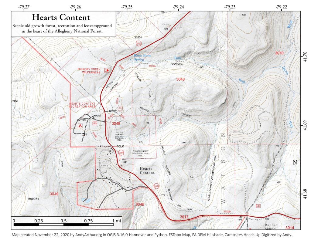
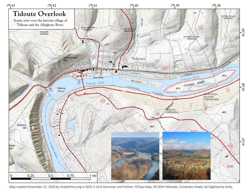
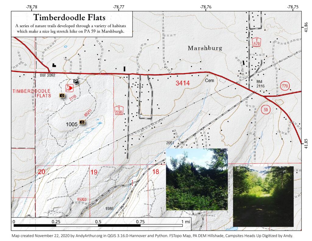
Download the PDF Map Pack with All Maps from Allegheny National Forest.