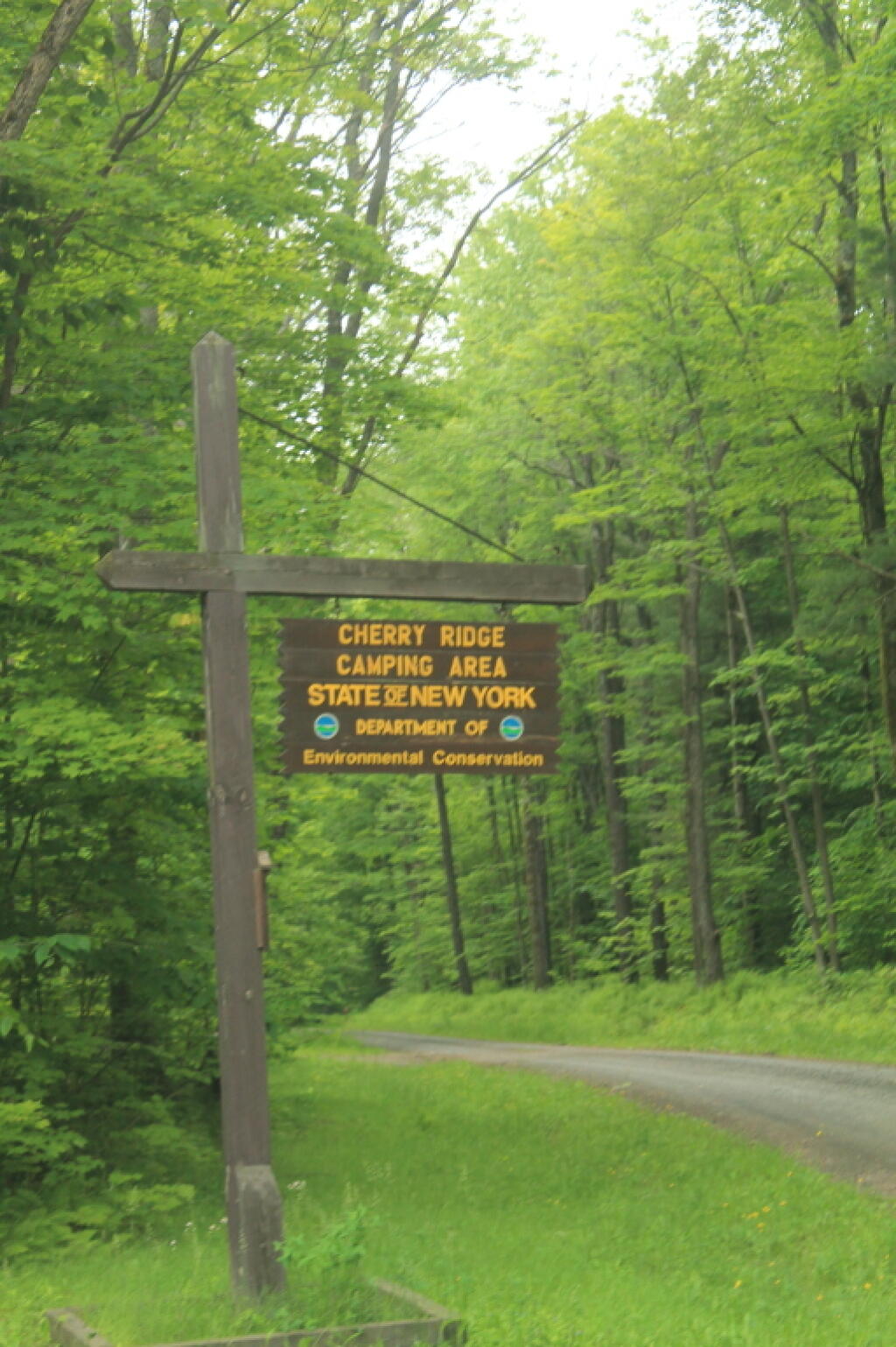
Cherry Hill Camping Area Sign 🖼️
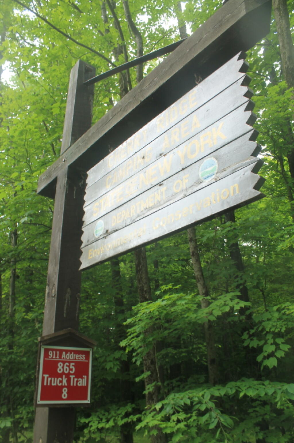
Download a JPEG Image of the Cherry Hill Camping Area Sign.
Cherry Hill Camping Area Sign ...
Interesting... the sign must be really old, because the Environmental Conservation part is in a new font, and of newer wood then the part saying "Cherry Ridge Camping Area, Department of".
Taken on Sunday June 16, 2013 at Charles Baker State Forest.
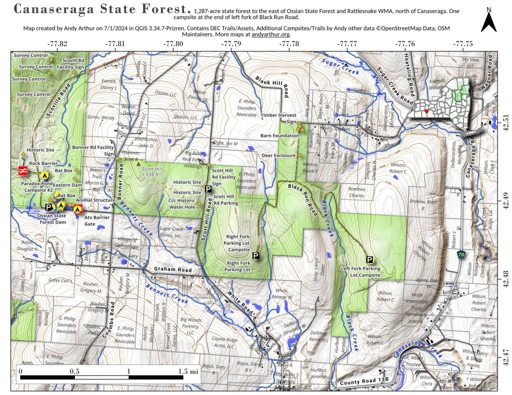
More about Charles Baker State Forest...
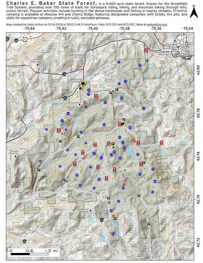
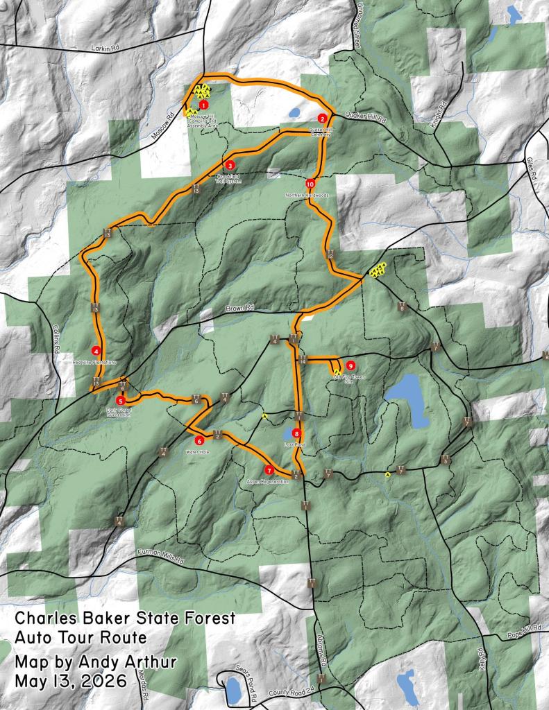
Charles Baker State Forest is named after the first District Forester who administered it. This property totals over 9,400 acres in southeast Madison County and makes up the core area for the Brookfield Trail System. This highly acclaimed horse and snowmobile trail system has over 130 miles of trails set throughout three state forests (Charles Baker State Forest, Brookfield Railroad State Forest, and Beaver Creek State Forest) that make up the Brookfield unit management area. These three forests collectively provide 13,750 acres of public reforestation lands for multiple recreation purposes.
http://www.dec.ny.gov/lands/8225.html
Download the PDF Map Pack with All Maps from Charles Baker State Forest.