After The Pavement Runs Out 🖼️
Download a JPEG Image of the After The Pavement Runs Out.
After The Pavement Runs Out ...
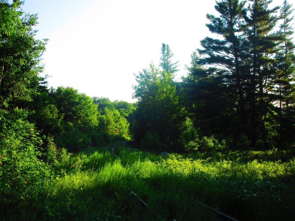
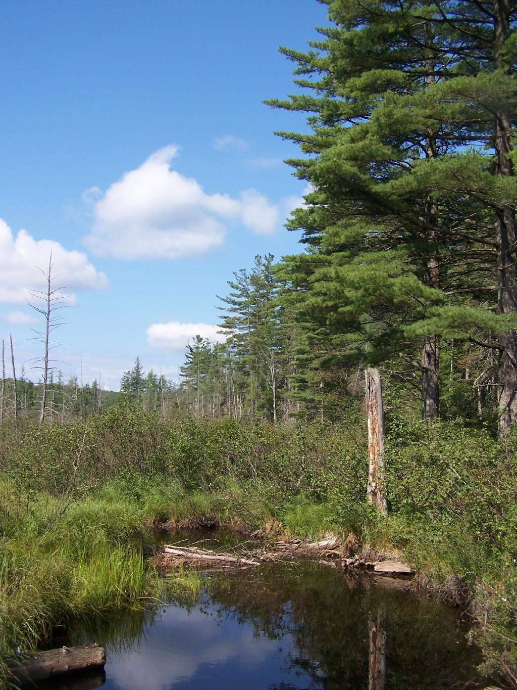
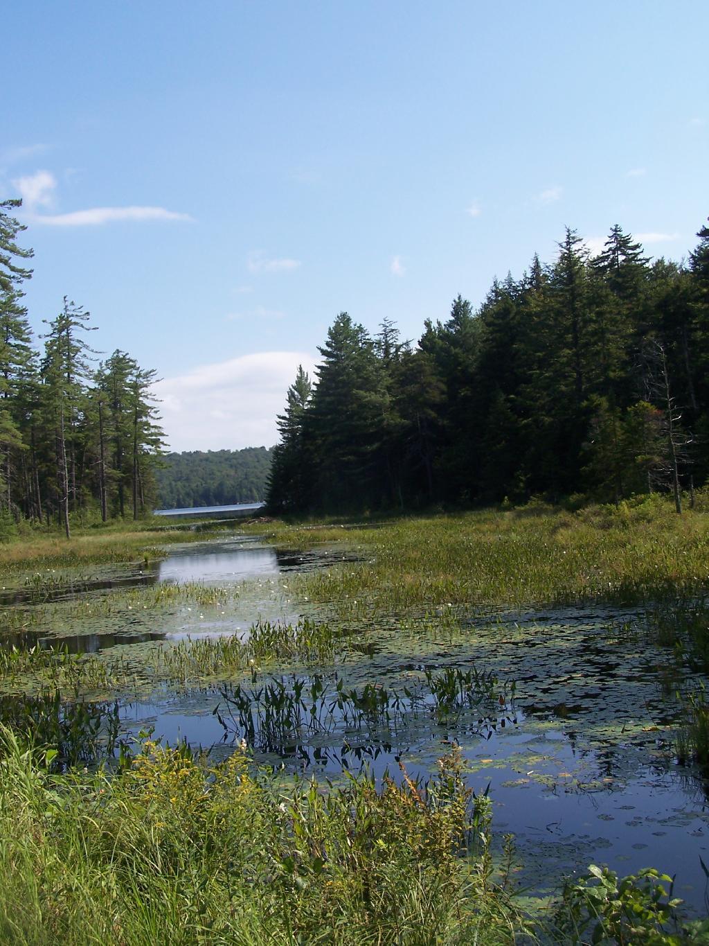
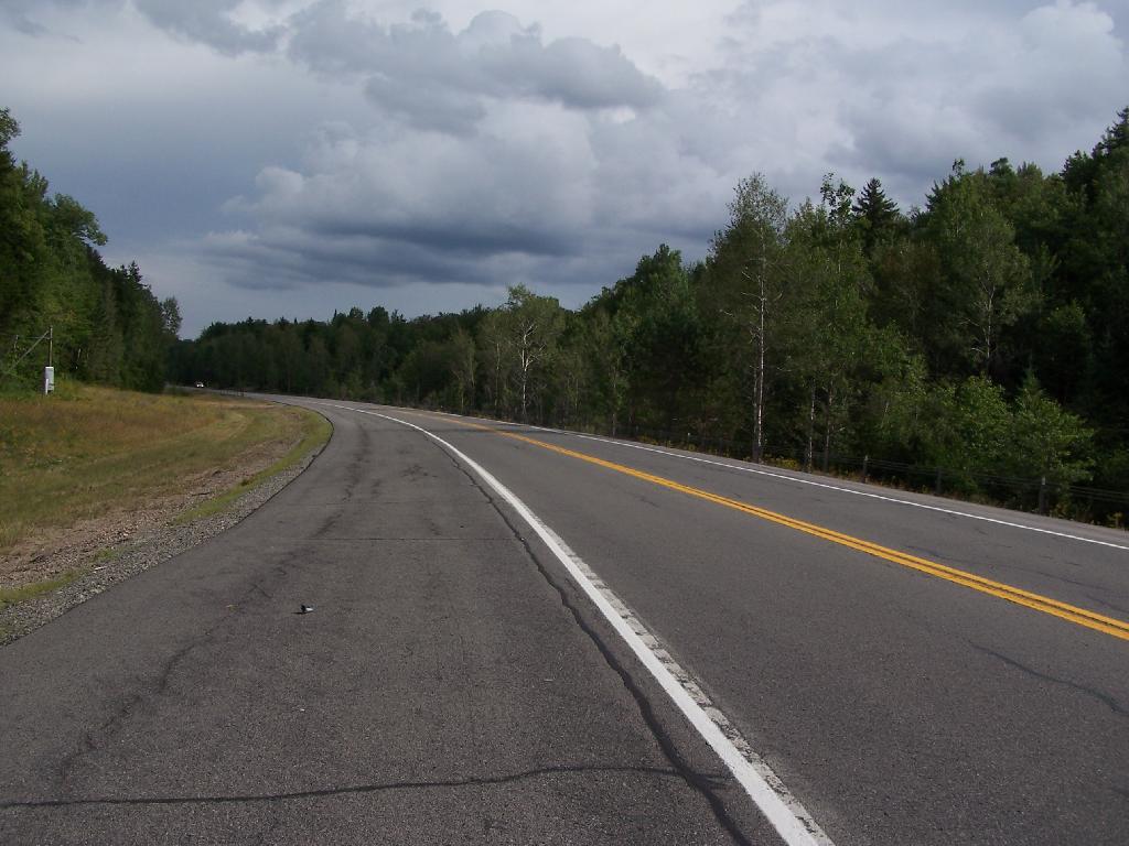
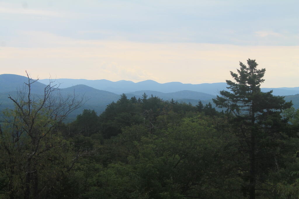
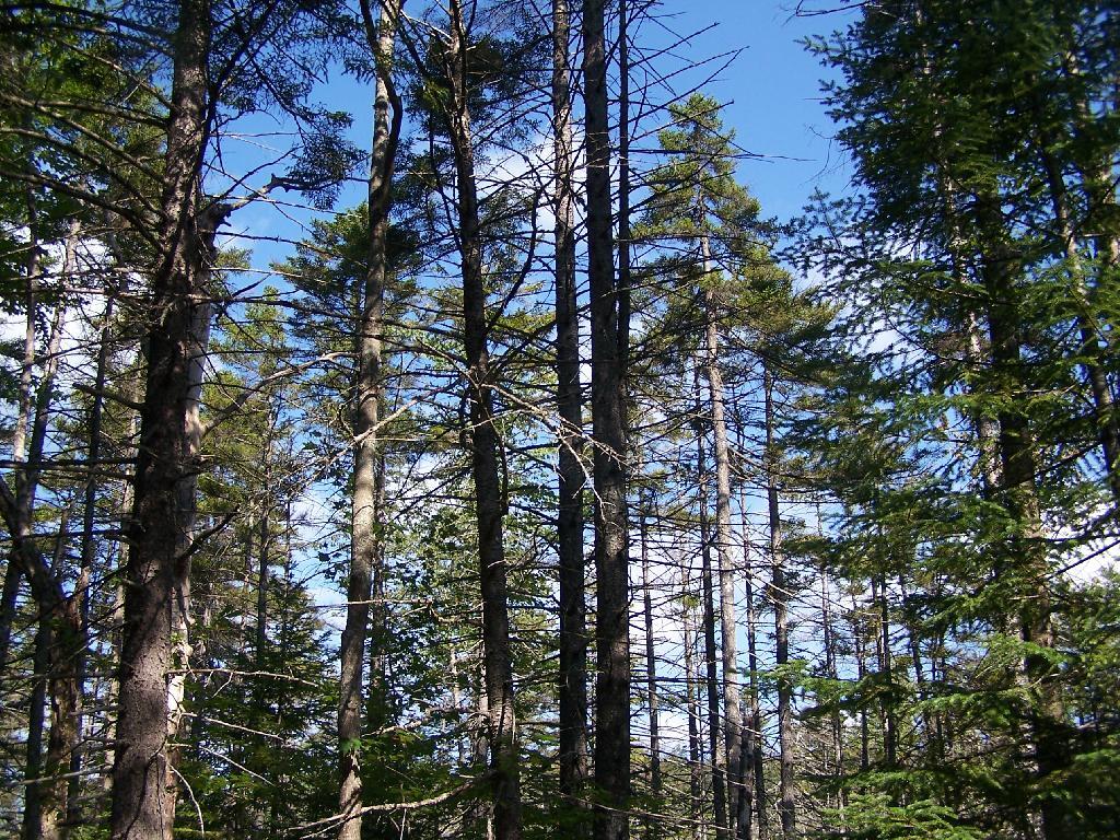
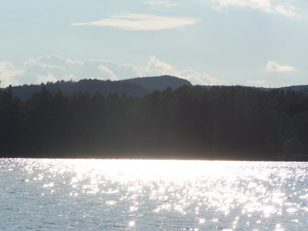
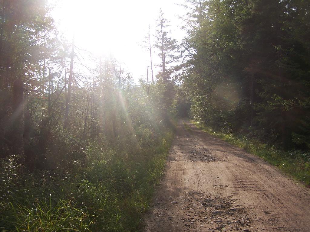
About a two miles from the paved end of NY 421, I camped. This is first thing in the morning, with the sun shining down from the wetlands near where I camped.
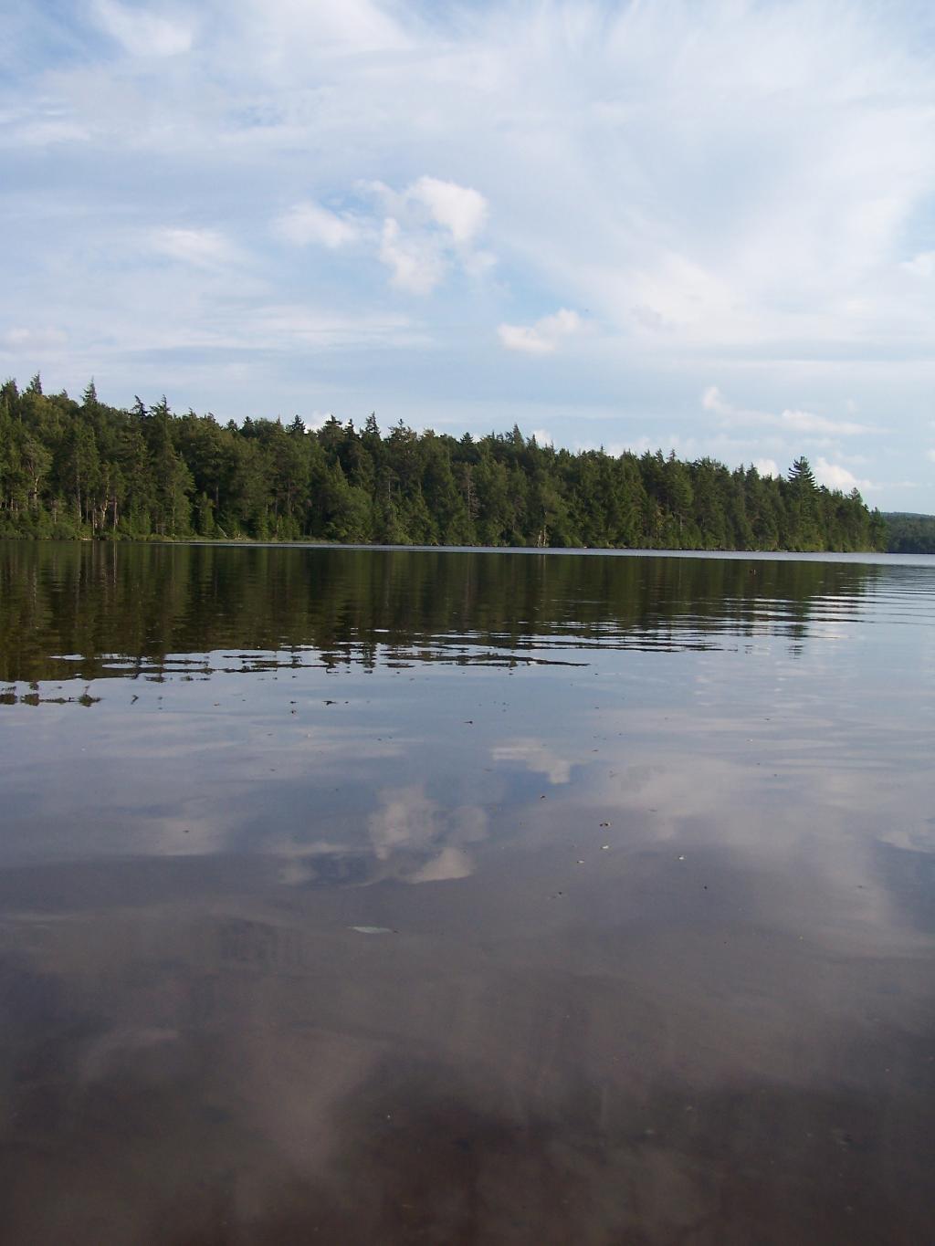
Taken on Friday August 13, 2010 at Horseshoe Lake.
More about Horseshoe Lake...
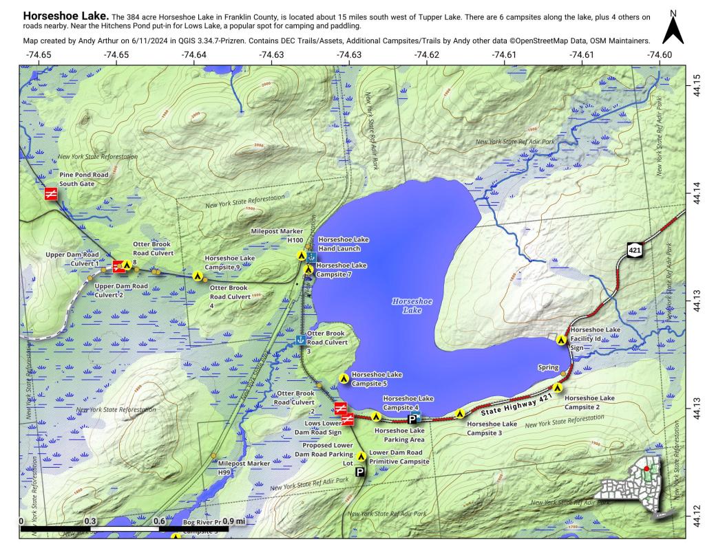
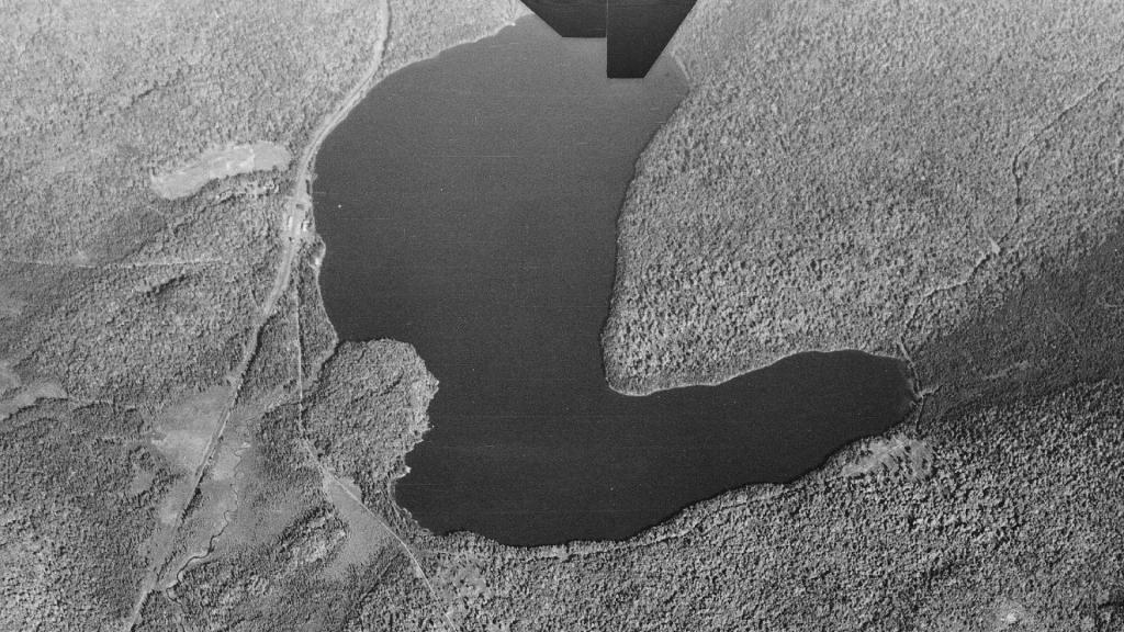
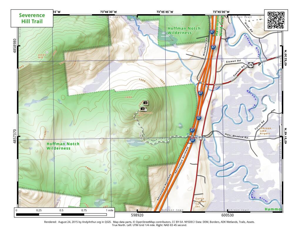
Horseshoe Lake in Franklin County, is located about 15 miles south west of Tupper Lake. There are 6 campsites along the lake, plus 4 others on roads nearby. Near the Hitchens Pond put-in for Lows Lake, a popular spot for camping and paddling.